MyTopo
Classic USGS Uniontown Pennsylvania 7.5'x7.5' Topo Map
Couldn't load pickup availability
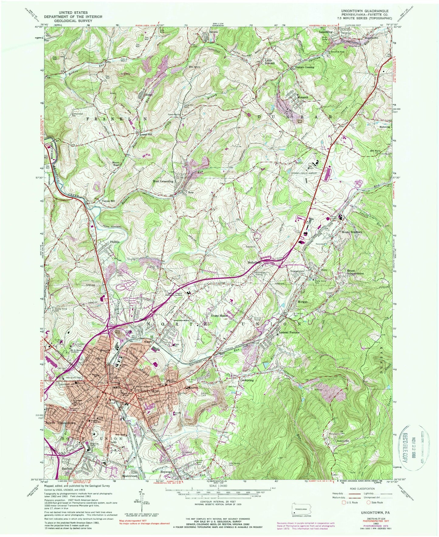
Historical USGS topographic quad map of Uniontown in the state of Pennsylvania. Map scale may vary for some years, but is generally around 1:24,000. Print size is approximately 24" x 27"
This quadrangle is in the following counties: Fayette.
The map contains contour lines, roads, rivers, towns, and lakes. Printed on high-quality waterproof paper with UV fade-resistant inks, and shipped rolled.
Contains the following named places: American Ambulance, Areford School, Associate Reformed Cemetery, Bailey Park, Ball Cemetery, Benjamin Franklin Junior High School, Bennington Spring Run, Bethel Baptist Church Cemetery, Bethel Presbyterian Church Cemetery, Bethelboro, Bitner, Boyle School, Bute, Bute Run, Calvary Cemetery, City of Uniontown, Clearview Cemetery, Coal Lick Run, Continental School, Cool Spring, Cool Spring Dam Number Two, Coolspring, Coolspring Run, Cove Run, Cove Run Cemetery - Old, Cove Run Church Cemetery, Craig Branch, Craig School, Cunningham School, Downtown Uniontown Post Office, East End School, East Union School, East Uniontown, East Uniontown Census Designated Place, Elm Grove, Evans, Evans Manor, Everybodys Mission, Fairgrounds School, Fairview Cemetery, Fans Run, Fayette County, Fayette County Cemetery - New, Fayette County Sheriff's Office, Ferguson Run, Franklin Cemetery, Gallatin School, Graham Crossing, Hatfield, Hatfield Elementary School, Hebrew Cemetery Association Burial Grounds, Hill Farm, Historic Presbyterian Public Cemetery, Hogsett, Holy Society Cemetery, Hope Chapel, Hopwood, Hopwood Cemetery, Hopwood Census Designated Place, Jennings Run, John F Kennedy Elementary School, Joseph A Hardy Connellsville Airport, Jumonville, Jumonville Rocks, Juniata, Lafayette Elementary - Middle School, Laurel Hill, Laurel Hill Church, Laurel Hill Presbyterian Cemetery, Laurel Run, Leisenring, Leisenring Post Office, Leith, Leith-Hatfield Census Designated Place, Lemont Furnace, Lemont Furnace Census Designated Place, Lemont Furnace Post Office, Lick Run, Lincoln Cemetery, Little Summit, Mahoning, Monarch, Monarch Volunteer Fire Company Station 28, Moore Family Cemetery, Morgan, Mount Braddock, Mount Braddock Post Office, Mount Hope, Mount Independence, Mount Saint Macrina Academy, North Union Township Volunteer Fire Department Station 44, Oak Grove Cemetery, Oak Lawn Cemetery, Old Laurel Hill Presbyterian Cemetery, Old Methodist Cemetery, Oliver, Oliver Census Designated Place, Oliver Post Office, Park Place Cemetery, Park School, Pennsylvania State Police Troop B Uniontown Station, Pennsylvania State University Fayette Campus, Percy, Phillips, R W Clark Elementary School, Rankin Run, Reformed Jewish Cemetery, Saint Basil Home, Saint Cecelia Cemetery, Saint Cecilias Park, Saint John the Baptist Byzantine Catholic Cemetery, Saint John the Baptist School, Saint John the Evangelist Regional Catholic School, Saint John The Evangelist Roman Catholic Cemetery, Saint Josephs Cemetery, Saint Josephs School, Saint Mary's Nativity Roman Catholic Cemetery, Saint Marys School, Saint Stephens Byzantine Catholic Cemetery, Saint Vincent de Pauls Church, Saint Vincent DePaul Roman Catholic Cemetery, Shady Grove Park, Shutes Run, South Union Volunteer Fire Company Station 43, South Uniontown, South Uniontown Census Designated Place, Sylvan Heights Cemetery, Sylvan Heights Memorial Gardens, Thomas Cemetery, Township of North Union, Uniontown, Uniontown City Police Department, Uniontown Fire Department Station 40, Uniontown Fire Department Station 40 East End, Uniontown Hospital, Uniontown Mall, Uniontown Post Office, Uniontown Shopping Center, Vances Mill, Walker, West Leisenring, West Leisenring Post Office, West Leisenring Volunteer Fire Department Station 41, Youngstown, Zaring - Matthews Cemetery, ZIP Codes: 15401, 15445, 15456, 15472, 15489


