MyTopo
Classic USGS Unionville Nevada 7.5'x7.5' Topo Map
Couldn't load pickup availability
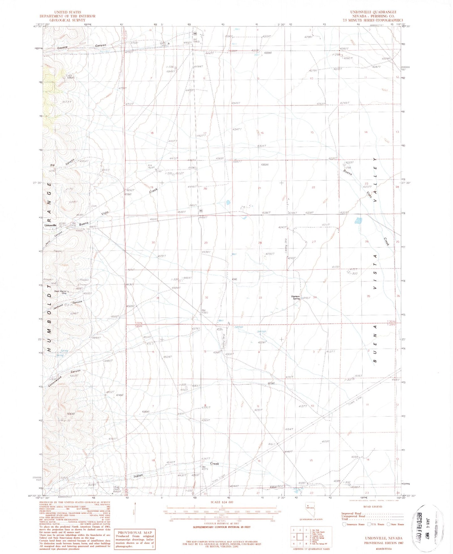
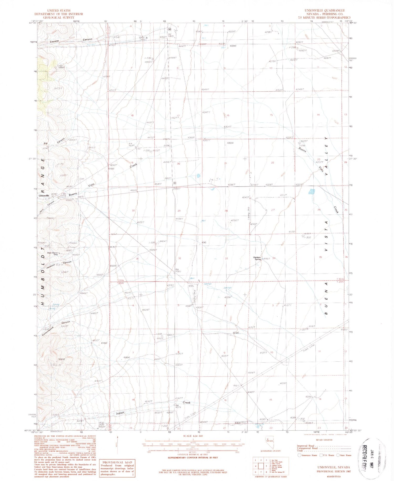
Historical USGS topographic quad map of Unionville in the state of Nevada. Map scale may vary for some years, but is generally around 1:24,000. Print size is approximately 24" x 27"
This quadrangle is in the following counties: Pershing.
The map contains contour lines, roads, rivers, towns, and lakes. Printed on high-quality waterproof paper with UV fade-resistant inks, and shipped rolled.
Contains the following named places: Big Canyon, Black Warrior Mine, Buena Vista Canyon, Cottonwood Canyon, Cottonwood Creek, Coyote Canyon, Coyote Creek, Coyote Ranch, Davidson Ranch, Frendesen Ranch, Harrison Spring, Indian Canyon, Jackson Canyon, Peru Canyon, Thornton Ranch, Unionville, Unionville Census Designated Place, Unionville Post Office, Unionville School