MyTopo
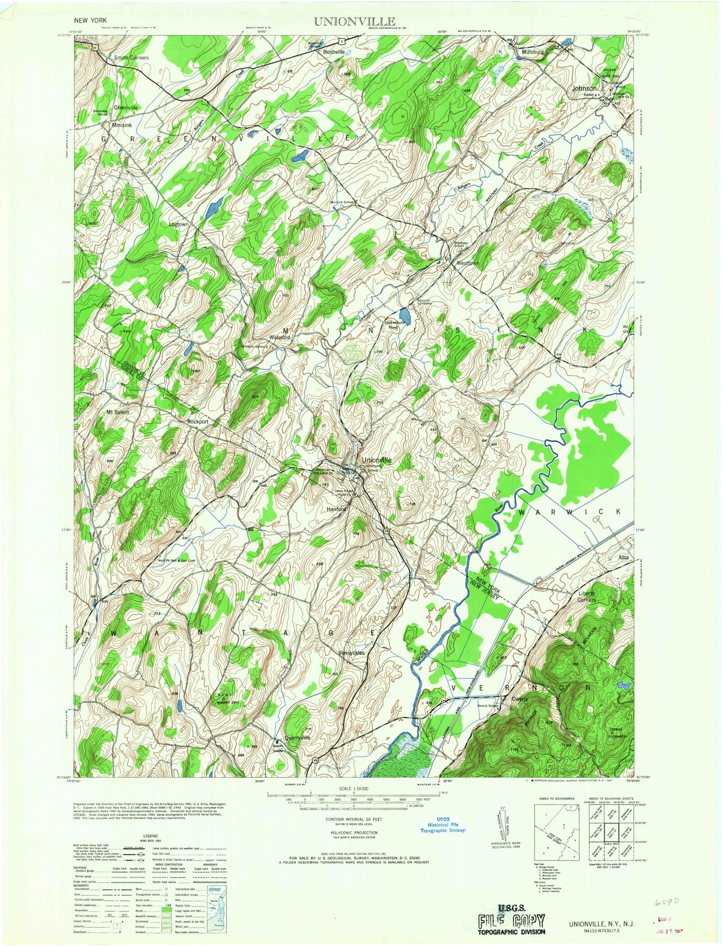
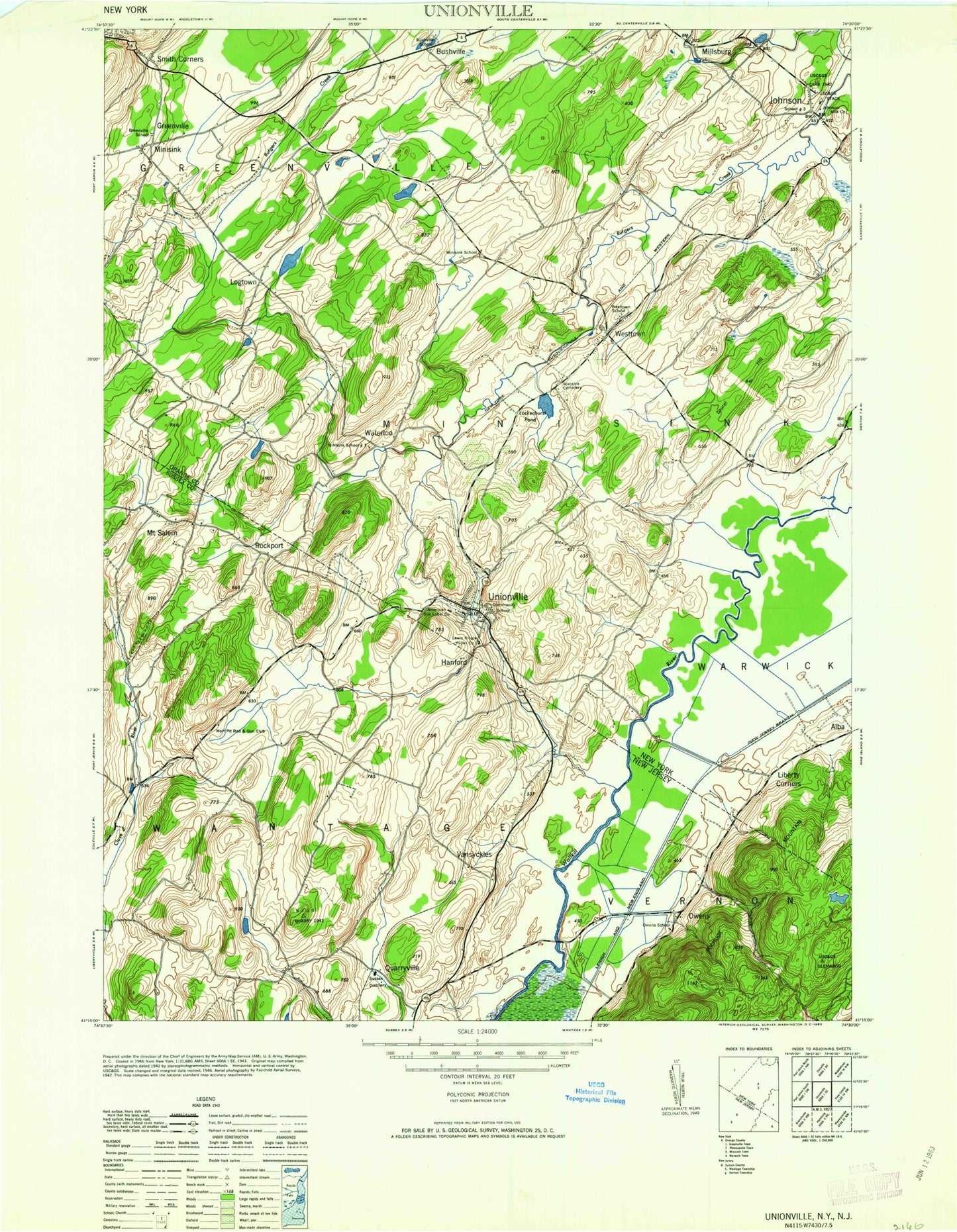
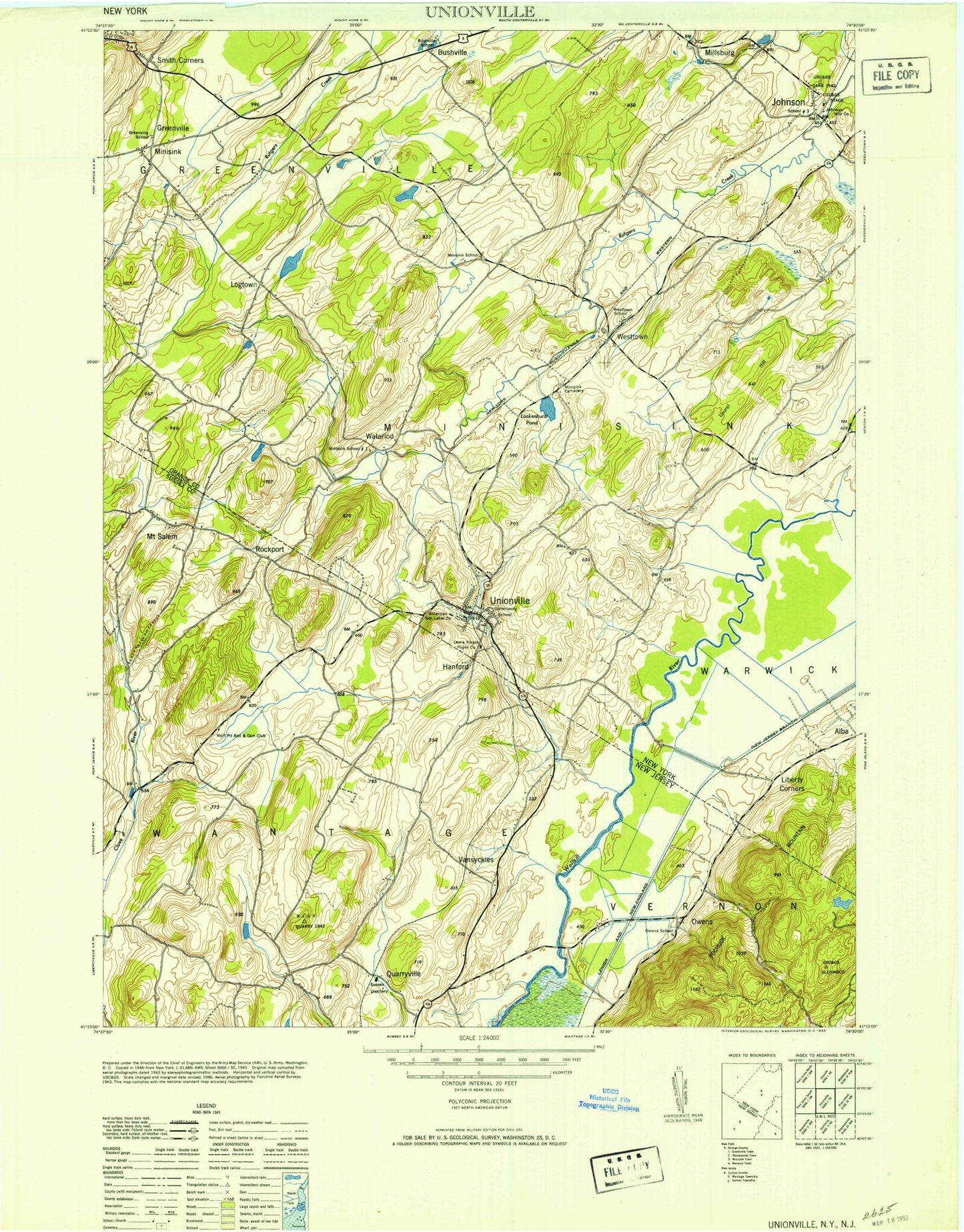
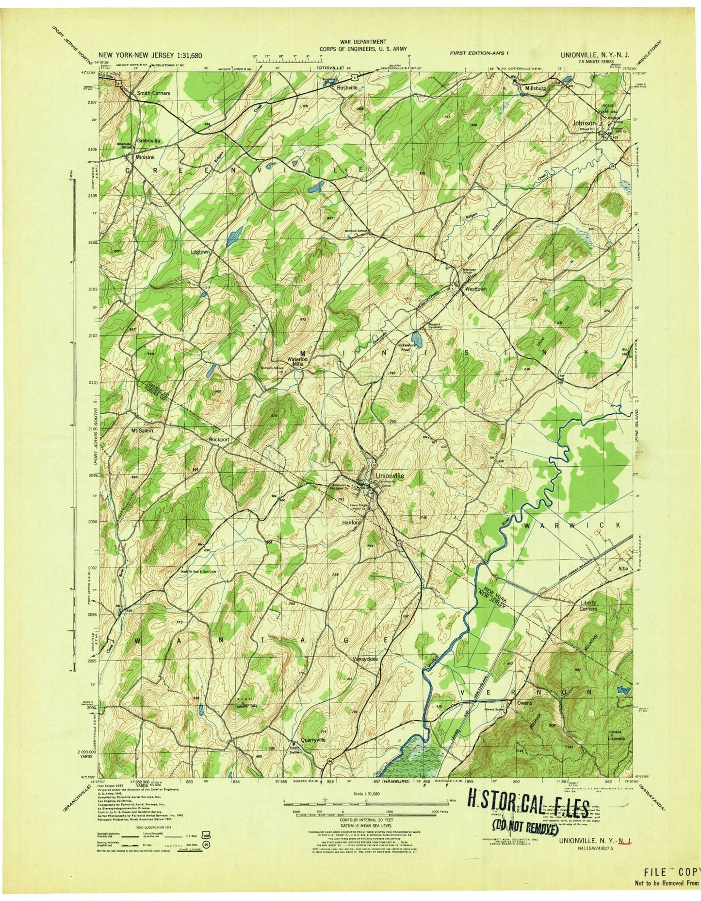
Classic USGS Unionville New York 7.5'x7.5' Topo Map
Couldn't load pickup availability
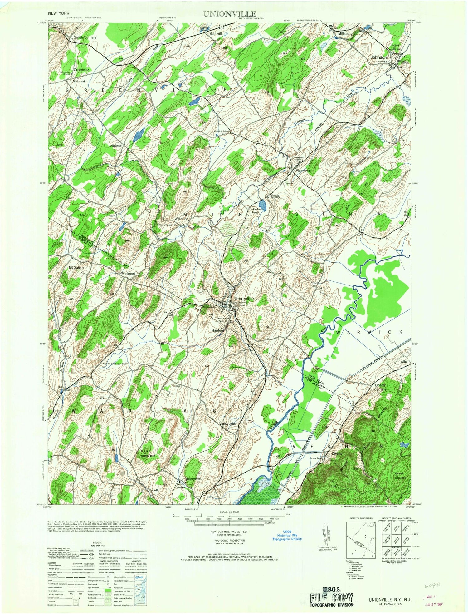
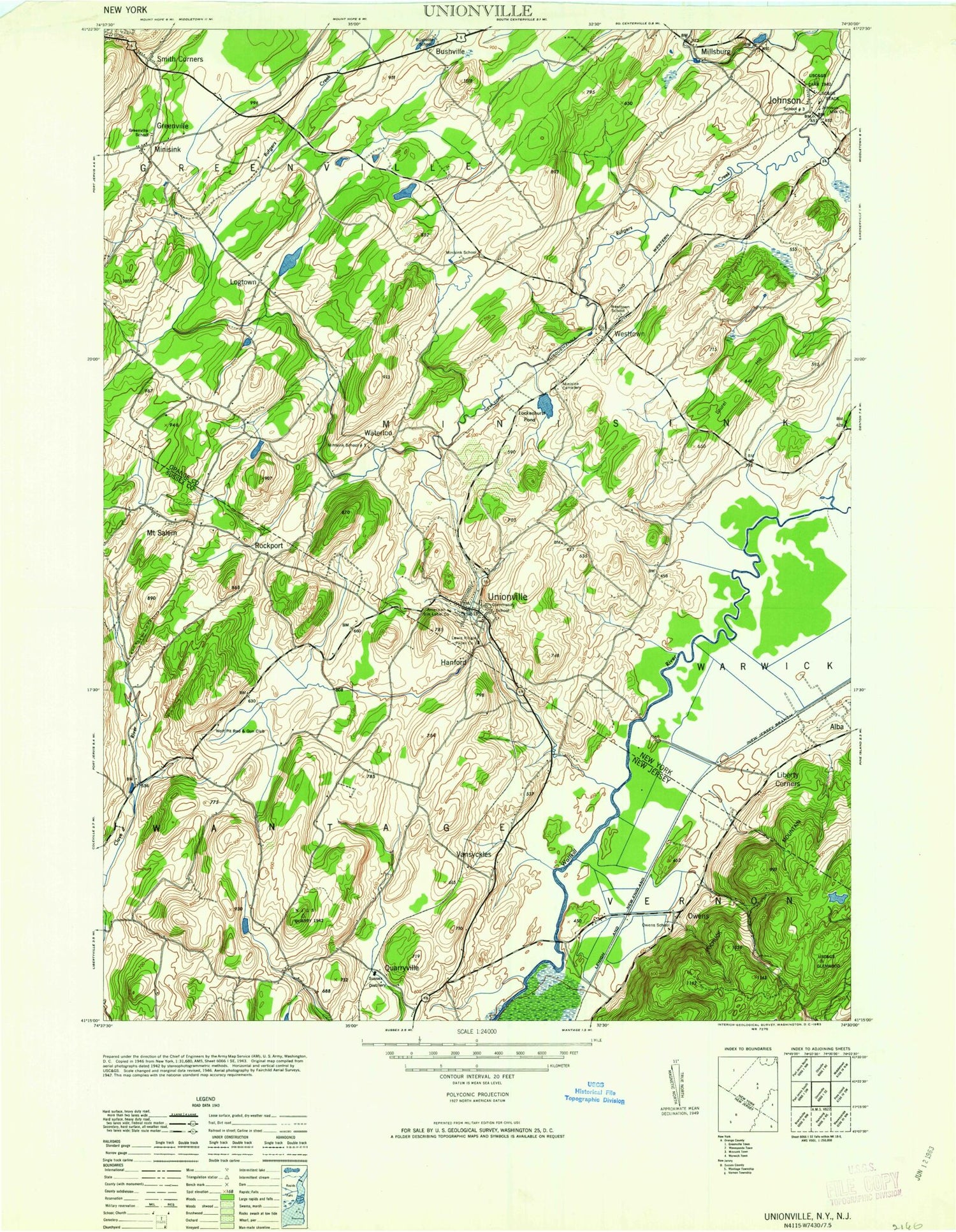
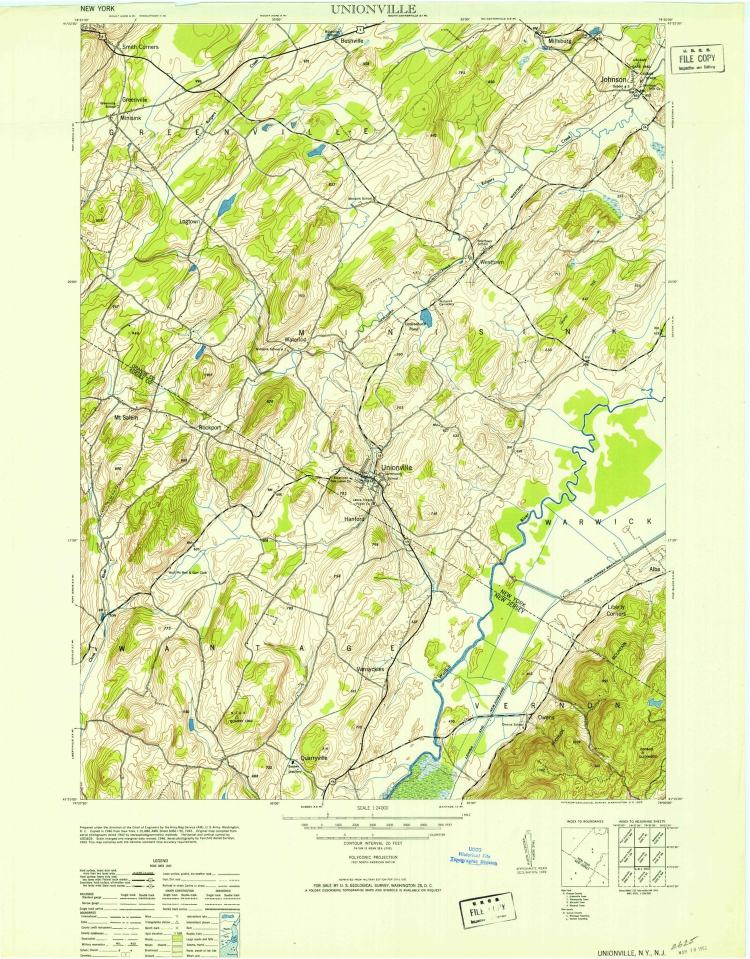
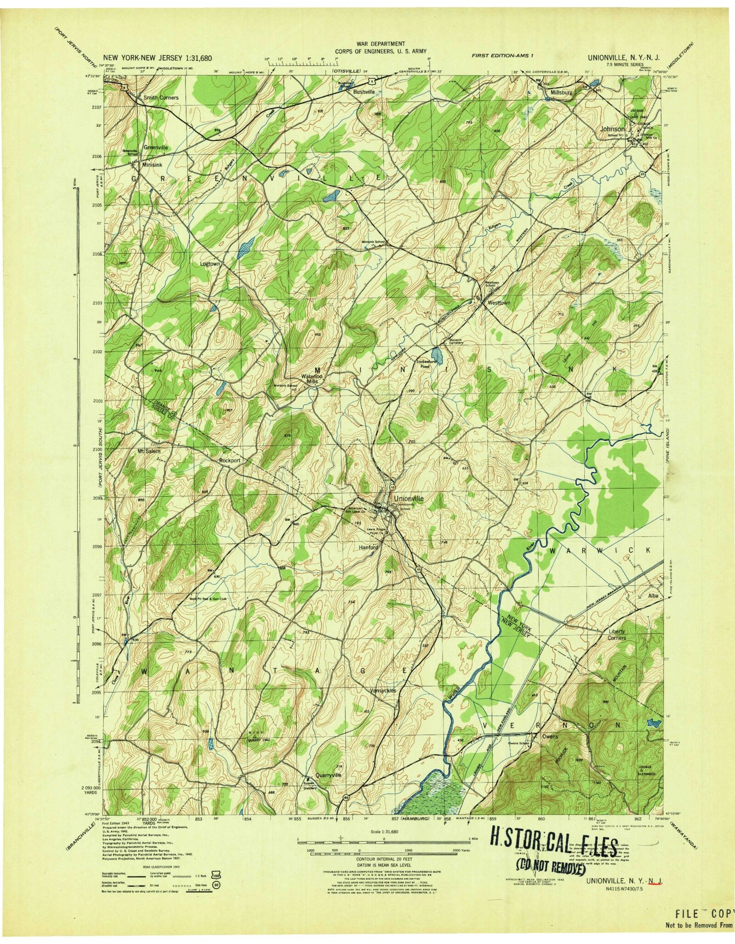
Historical USGS topographic quad map of Unionville in the states of New York, New Jersey. Map scale may vary for some years, but is generally around 1:24,000. Print size is approximately 24" x 27"
This quadrangle is in the following counties: Orange, Sussex.
The map contains contour lines, roads, rivers, towns, and lakes. Printed on high-quality waterproof paper with UV fade-resistant inks, and shipped rolled.
Contains the following named places: Air Tractor Heliport, Art Fords Lake, Bastek Heliport, Bushville, Bushville School, Coal Tree Farm, First Presbyterian Church of Westtown, Green Ridge Golf Course, Greenville, Greenville School, Greenville Township Volunteer Ambulance Corps, Greenville Township Volunteer Fire Department, Greenville United Methodist Church, Hanford, Hanson Memorial Park, Johnson, Johnson Volunteer Fire Department Rutgers Engine Company 1, Keiths Farm, Kezialain Farm, Lake Arkin, Laurel Hill, Lenape Volunteer Ambulance Corps, Liberty Corners, Lockenhurst Pond, Logtown, MD1 Airport, Millsburg, Minisink Cemetery, Minisink Heritage Museum, Minisink School, Minisink School Number 1, Mount Salem, Our Lady of the Scapular Church, Owens, Owens School, Quarryville, Rockport, Rocky Bar Tree Farm, Slate Hill Heliport, Sleepy Hills Orchard, Smith Corners, Sudol Farms, Town of Greenville, Town of Minisink, Unionville, Unionville Cemetery, Unionville Fire Department Minisink Hose Company 1, Unionville Post Office, Unionville Presbyterian Church, Unionville Village Hall, Van Syckles, Village of Unionville, Waterloo Mills, Westtown, Westtown Airport, Westtown Post Office, Westtown School, Willow Lake, Wolf Pit Rod And Gun Club, ZIP Codes: 10933, 10988, 10998, 12771
