MyTopo
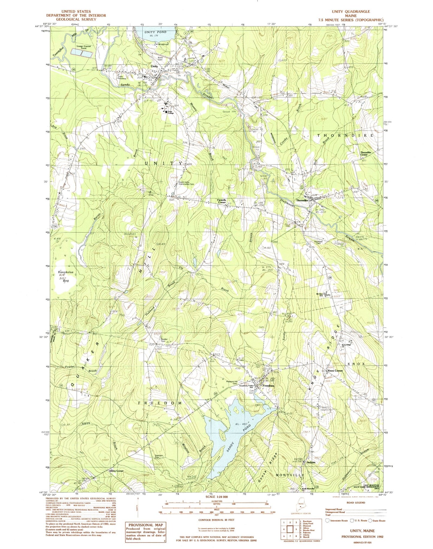
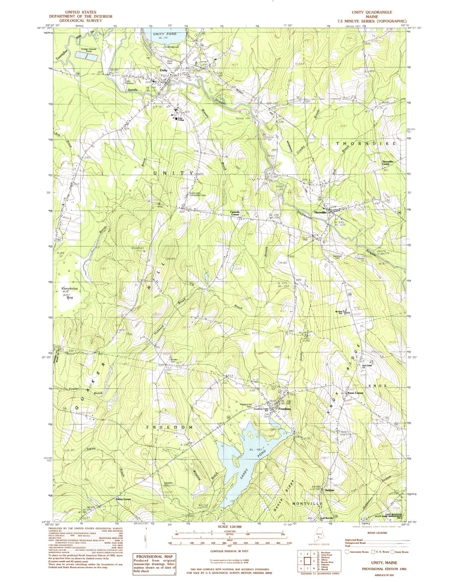
Classic USGS Unity Maine 7.5'x7.5' Topo Map
Couldn't load pickup availability
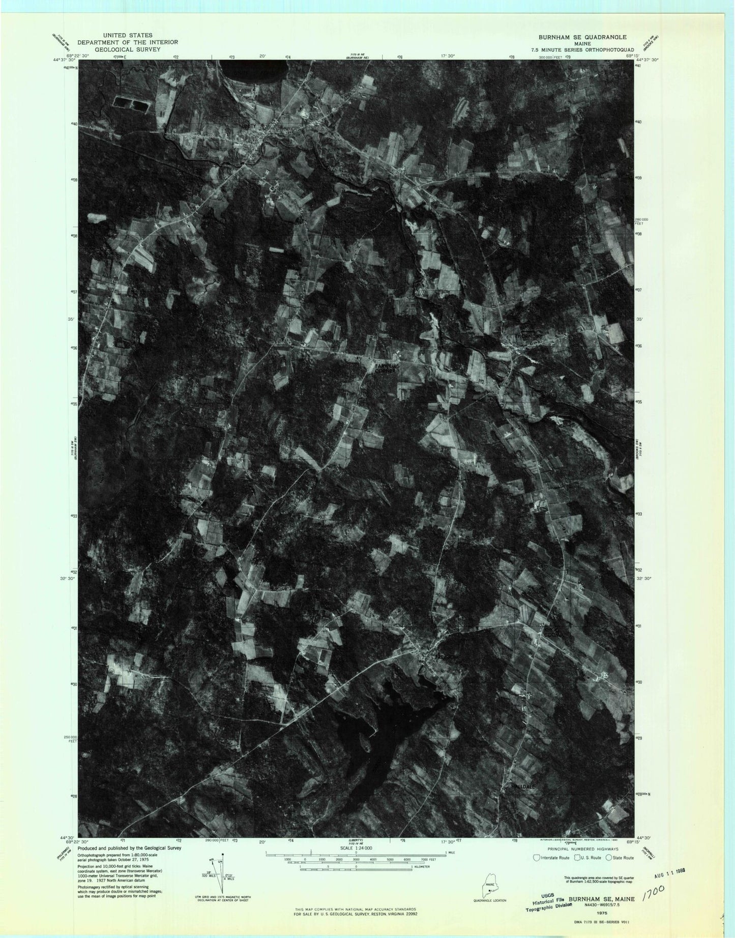
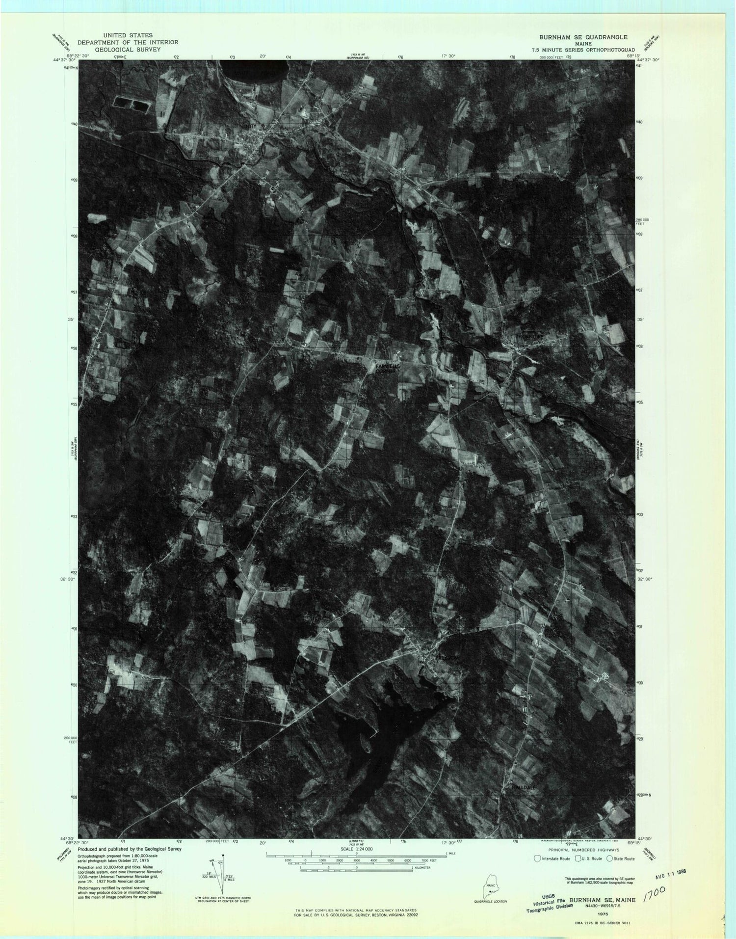
Historical USGS topographic quad map of Unity in the state of Maine. Map scale may vary for some years, but is generally around 1:24,000. Print size is approximately 24" x 27"
This quadrangle is in the following counties: Kennebec, Waldo.
The map contains contour lines, roads, rivers, towns, and lakes. Printed on high-quality waterproof paper with UV fade-resistant inks, and shipped rolled.
Contains the following named places: Bacon Brook, Boulter Cemetery, Crosby Brook, Dorothy W Quimby Library, Douglass Cemetery, Farwell Cemetery, Farwells Corner, Fly Brook, Freedom, Freedom Post Office, Freedom Volunteer Fire Department, Goose Ridge, Halfmoon Stream, Hall Brook, Halldale, Hubbard Brook, Kanokolus Bog, Kelley - Danforth Cemetery, Knox Corner, Knox Ridge, Knox Ridge Cemetery, Knox Ridge Church, Mount View Elementary School, Mount View High School, Mount View Middle School, Mussey Brook, North Montville Church, Pleasant Hill Cemetery, Pond Cemetery, Quaker Hill, Quaker Hill Cemetery, Sandy Pond, Sandy Pond Dam, Saywood Cemetery, Sibley Corner, South Unity Community Church, Strawberry Fields School, Thorndike, Thorndike Center School, Thorndike Fire Department, Thorndike Post Office, Town of Unity, Unity, Unity Census Designated Place, Unity College, Unity Elementary School, Unity Fire Department, Unity Raceway, Unity Volunteer Ambulance Corps, Village Cemetery, Winslow Brook, Woods School, ZIP Code: 04988


