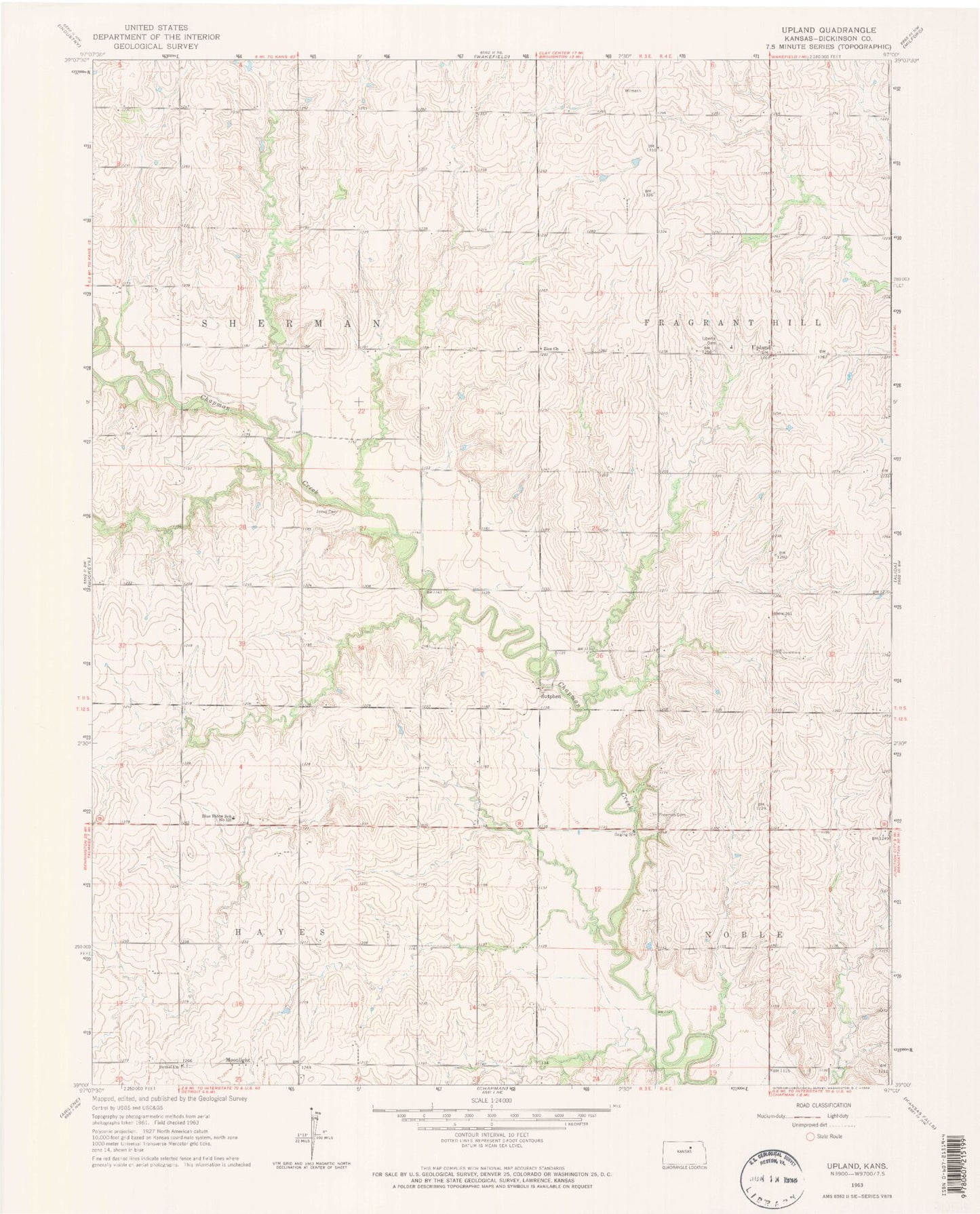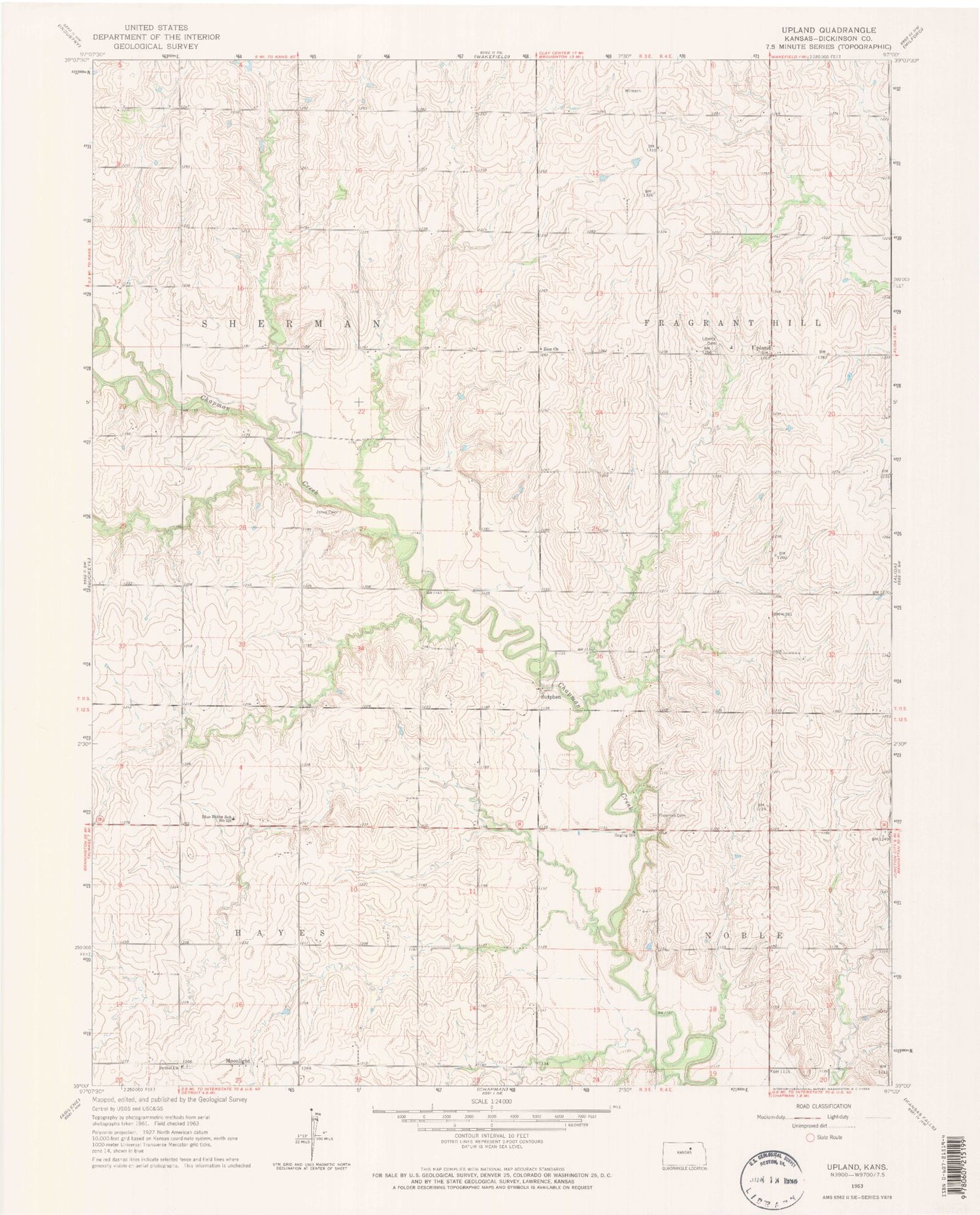
MyTopo
Classic USGS Upland Kansas 7.5'x7.5' Topo Map
Couldn't load pickup availability
Historical USGS topographic quad map of Upland in the state of Kansas. Map scale may vary for some years, but is generally around 1:24,000. Print size is approximately 24" x 27"
This quadrangle is in the following counties: Dickinson.
The map contains contour lines, roads, rivers, towns, and lakes. Printed on high-quality waterproof paper with UV fade-resistant inks, and shipped rolled.
Contains the following named places: Bethel Cemetery, Bethel Church, Blue Ridge Elementary School, Blue Ridge School Number 130, Dickinson County Fire District 1 Station 4, Good Hope School, Jones Cemetery, Liberty Cemetery, Moonlight, New Chillicothe, Sherman Township Fire Department, Sutphen, Township of Fragrant Hill, Township of Hayes, Township of Sherman, Upland, Zion Church