MyTopo
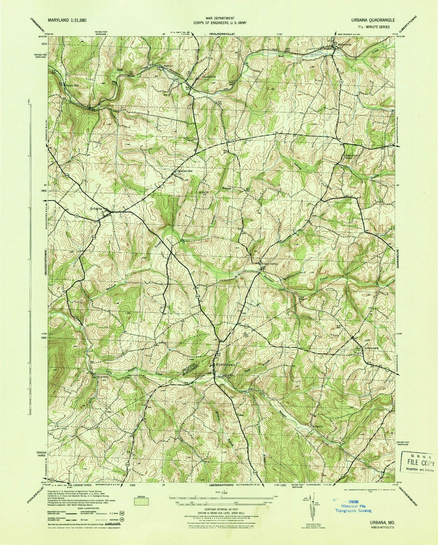
Classic USGS Urbana Maryland 7.5'x7.5' Topo Map
Couldn't load pickup availability
Historical USGS topographic quad map of Urbana in the state of Maryland. Typical map scale is 1:24,000, but may vary for certain years, if available. Print size: 24" x 27"
This quadrangle is in the following counties: Frederick, Montgomery.
The map contains contour lines, roads, rivers, towns, and lakes. Printed on high-quality waterproof paper with UV fade-resistant inks, and shipped rolled.
Contains the following named places: Wildcat Branch, Hyattstown Christian Church Cemetery, Dark Branch, Ebenezer School, Fahrney Branch, German Brethren Church, Ijamsville, Little Bennett Creek, Monrovia, Montgomery Chapel, Pleasant Grove Church, Soper Branch, Urbana, Green Valley, Reels Mill, Centerville, Fountain Mills, Hyattstown, Kingsley, Lewisdale, Thurston, Urbana Dam, Chevy Chase Lake, Flying M Farms Airport (historical), Stolcrest Airport, Burhans Memorial Airport, WFPT-TV (Frederick), School Run, Davis Branch, Big Woods Estates, Burnt Hickory, Bush Creek Cemetery, Bush Creek Estates, Butterfield, Carolina Hills, Chadwick, Church Branch, Dennis (historical), Ebenezer United Methodist Church, Englandtowne, Fairfield Heights, Frederick Pony Club, Fremont Hills, Friends Cemetery, Friendship, Gently Savage, Gibralter Acres, Green Hills, Green Valley Elementary School, Heritage Hills, Highview, Hillview Acres, Hyatt Park Industrial Park, Ebenezer United Methodist Church Cemetery, Ijamsville Heights, Ijamsville Post Office (historical), Ijamsville United Methodist Church, Kinna, Land of Promise, Loch Haven, Locust View Farm, Meadowbrook, Monrovia Post Office, Montecito Business Center, New Market View, Oakridge, Old Orchard Estates, Permenter, Peter Pan Run, Pleasant Grove, Pleasant Grove United Methodist Cemetery, Quail Run, Rangers Woods, Riverwood, Rolling Green, Saint Ignasius Loyola Catholic Church, Shel-Mar Heights, Sleepy Hollow Estates, Smith, Stone Barn Station, Sugarloaf Meadows, Sweadner, Tabler Run, Tranquility, Turners Chance, Urbana Branch, Saint Ignatius of Loyola Catholic Church Cemetery, Urbana Community Park, Urbana Elementary School, Urbana Lake Fish Management Area, Urbana Overlook, Urbana Shopping Center, Water View, Watkins Wilderness, Weller Estates, Wesley Chapel United Methodist Church, Zion Cemetery, Zion Episcopal Church, Comus Sugarloaf, Glen Cameron Estates, Hickory Hill, Hyattstown United Methodist Church Cemetery, Hyattstown Christian Church, Hyattstown Mill (historical), Hyattstown United Methodist Church, Little Bennett Regional Park, Sugar Loaf Mountain Chapel, Sugar Loaf Mountain Chapel Cemetery, Sugarloaf Vista, Sunnybrook Farms, The Ponderosa, District 7 Urbana, Kingsley Wilderness Project school, Windsor Knolls Middle School, Urbana High School, P B Dye Golf Club, Urbana Volunteer Fire and Rescue Company Station 23, Green Valley Fire Station 25, Hyattstown Volunteer Fire Department - Station 9, Great Heron Wetlands, Centerville Elementary School, Friends Meeting School, Urbana Middle School, Ijamsville Airport, Monrovia Census Designated Place, Urbana Census Designated Place, Frederick County Landfill, Clowder Creek


