
MyTopo
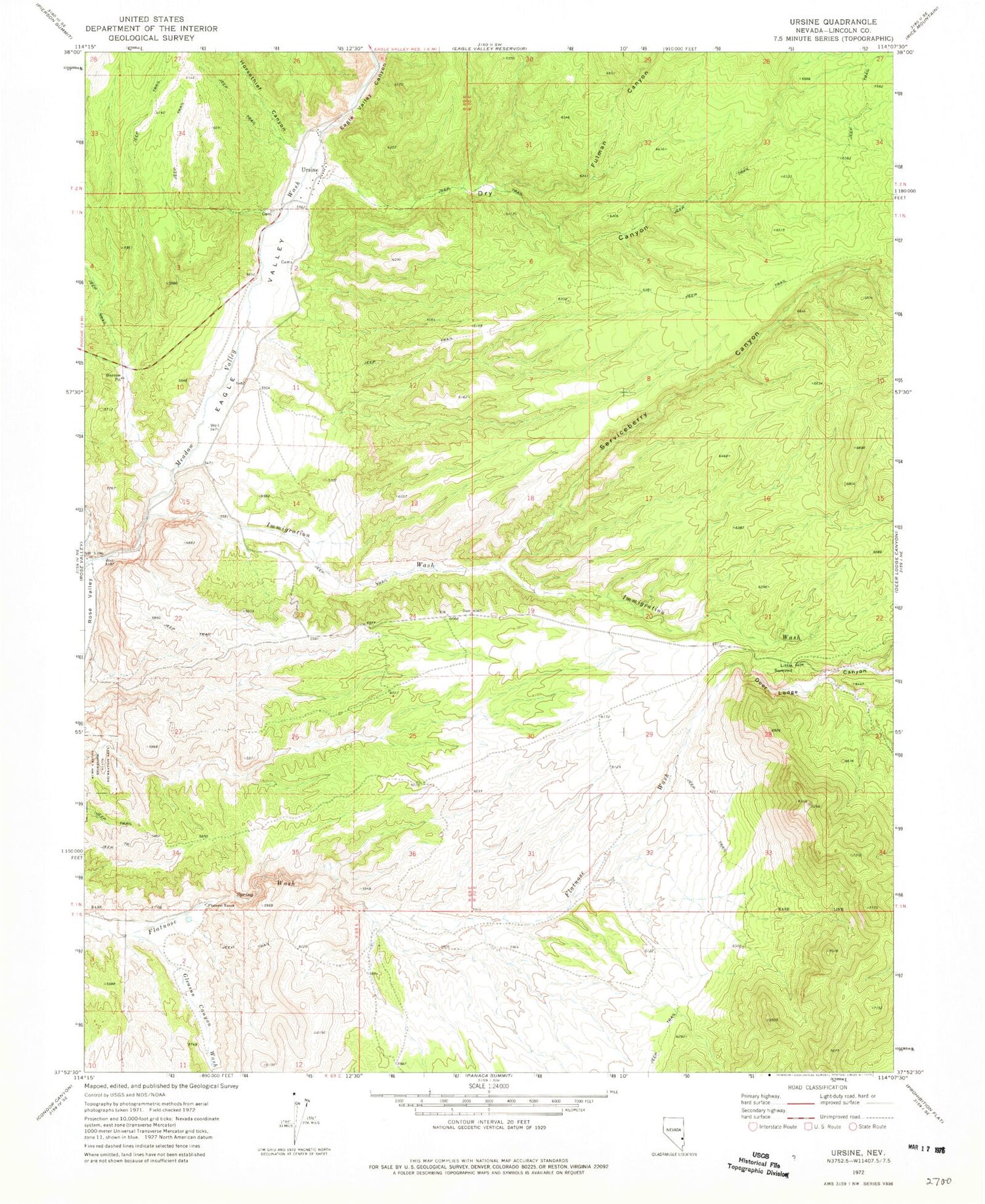
Classic USGS Ursine Nevada 7.5'x7.5' Topo Map
Couldn't load pickup availability
Historical USGS topographic quad map of Ursine in the state of Nevada. Map scale may vary for some years, but is generally around 1:24,000. Print size is approximately 24" x 27"
This quadrangle is in the following counties: Lincoln.
The map contains contour lines, roads, rivers, towns, and lakes. Printed on high-quality waterproof paper with UV fade-resistant inks, and shipped rolled.
Contains the following named places: Deer Lodge Canyon, Dry Canyon, Eagle Valley, Eagle Valley Canyon, Eagle Valley Volunteer Fire Department, Flatnose Ranch, Flatnose Ranch Spring, Fulman Canyon, Gleason Canyon Wash, Homer, Horsethief Canyon, Immigration Wash, Little Summit, Serviceberry Canyon, Ursine, Ursine Census Designated Place, Ursine Post Office


