MyTopo
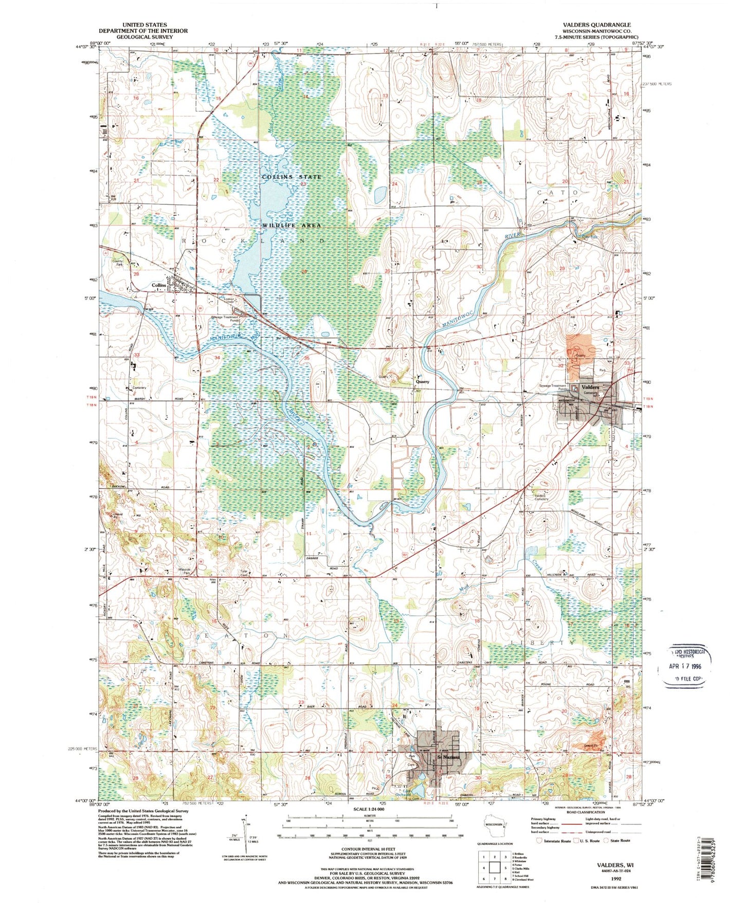
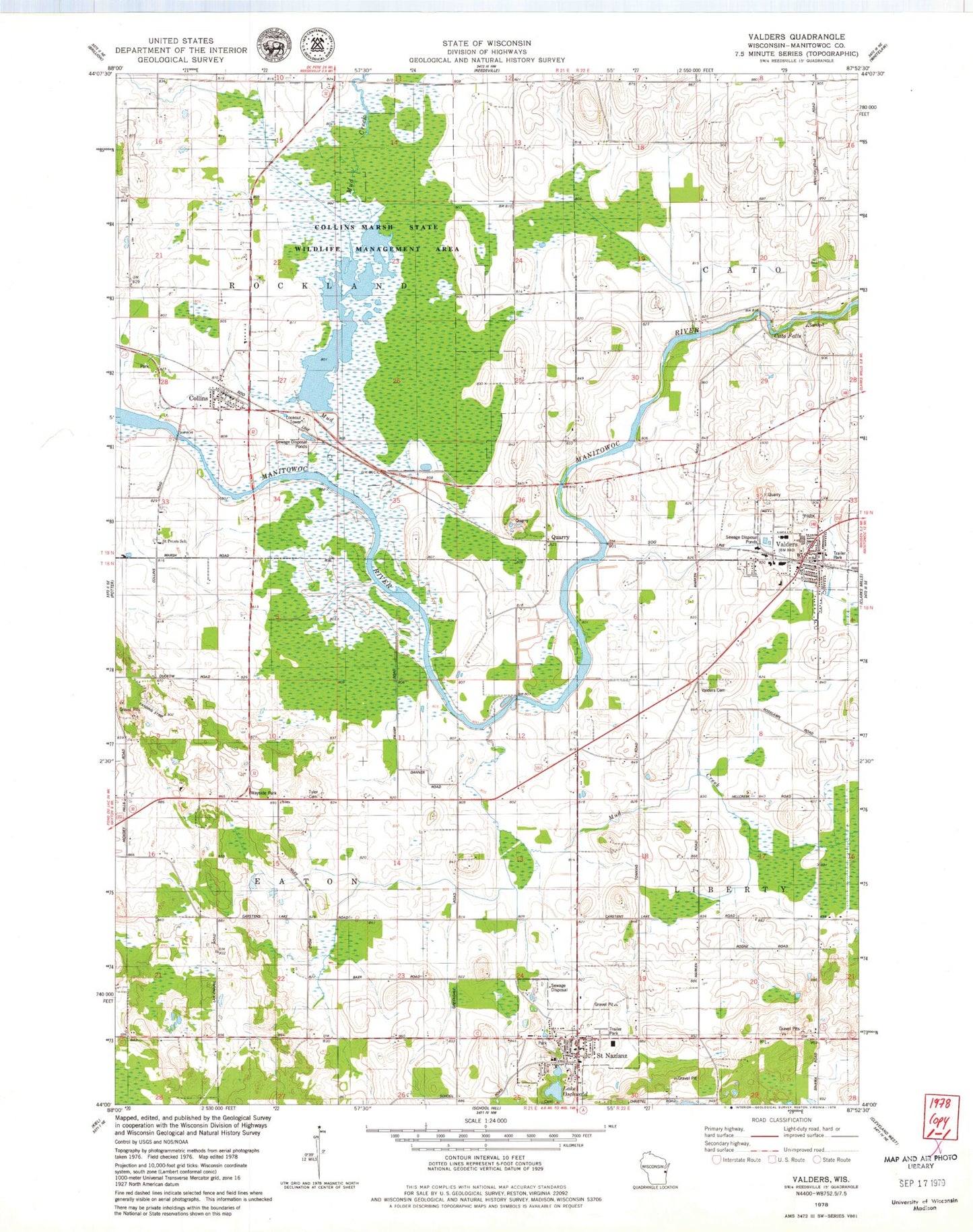
Classic USGS Valders Wisconsin 7.5'x7.5' Topo Map
Couldn't load pickup availability
Historical USGS topographic quad map of Valders in the state of Wisconsin. Map scale may vary for some years, but is generally around 1:24,000. Print size is approximately 24" x 27"
This quadrangle is in the following counties: Manitowoc.
The map contains contour lines, roads, rivers, towns, and lakes. Printed on high-quality waterproof paper with UV fade-resistant inks, and shipped rolled.
Contains the following named places: Badger Pride Dairy, Cato Falls, Cato Falls Dairy, Cato Falls School, Cedar Grove School, Collins, Collins Census Designated Place, Collins Marsh 2WP1976 Dam, Collins Marsh 3 Reservoir, Collins Marsh State Wildlife Management Area, Collins Post Office, Collins Volunteer Fire Department, Fairview School, Faith Lutheran Church, Hidden Acres Fur Farm, Irishway Dairy Farm, Johnson Hill Farms, L - Lane Dairy, Lake Oschwald, Lowell School, Marsh Edge Dairy, Marsh Road Dairy, McMunn Farm, Mud Creek, Neumeyer Lake, Niles School, Nordic Lands Mobile Home Park, Poplar Grove Community Center, Prospect Dairy Farm, Quarry, Quarry Lake, Redoft Airport, Royal Blue Farms, Saint Gregory Cemetery, Saint Gregory Church, Saint Gregory School, Saint Nazianz, Saint Nazianz Post Office, Saint Nazianz Volunteer Fire and Rescue, Saint Nazianz Wastewater Treatment Plant, Saint Peter Evangelical Lutheran Cemetery, Saint Peters Lutheran School, Sunny Crest School, Sunset Valley Farms, Town of Eaton, Town of Rockland, Tyler Cemetery, Valders, Valders Cemetery, Valders Elementary School, Valders High School, Valders Middle School, Valders Police Department, Valders Post Office, Valders Volunteer Fire Department, Village of Saint Nazianz, Village of Valders, Windhaven Airport, ZIP Codes: 54207, 54232, 54245


