MyTopo
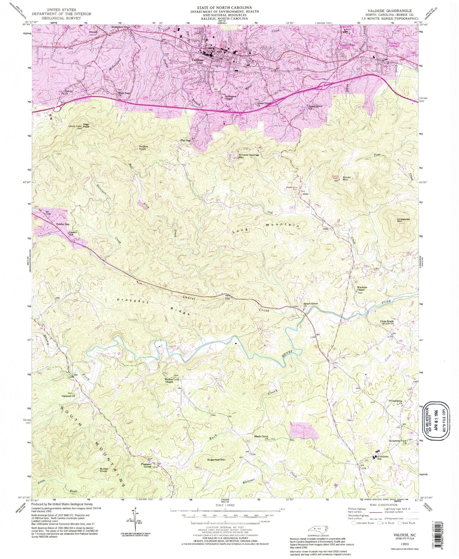
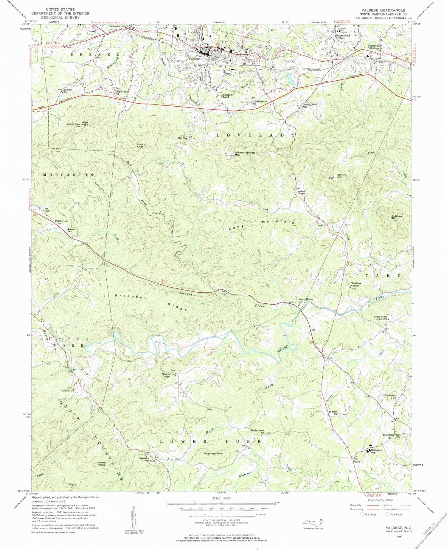
Classic USGS Valdese North Carolina 7.5'x7.5' Topo Map
Couldn't load pickup availability
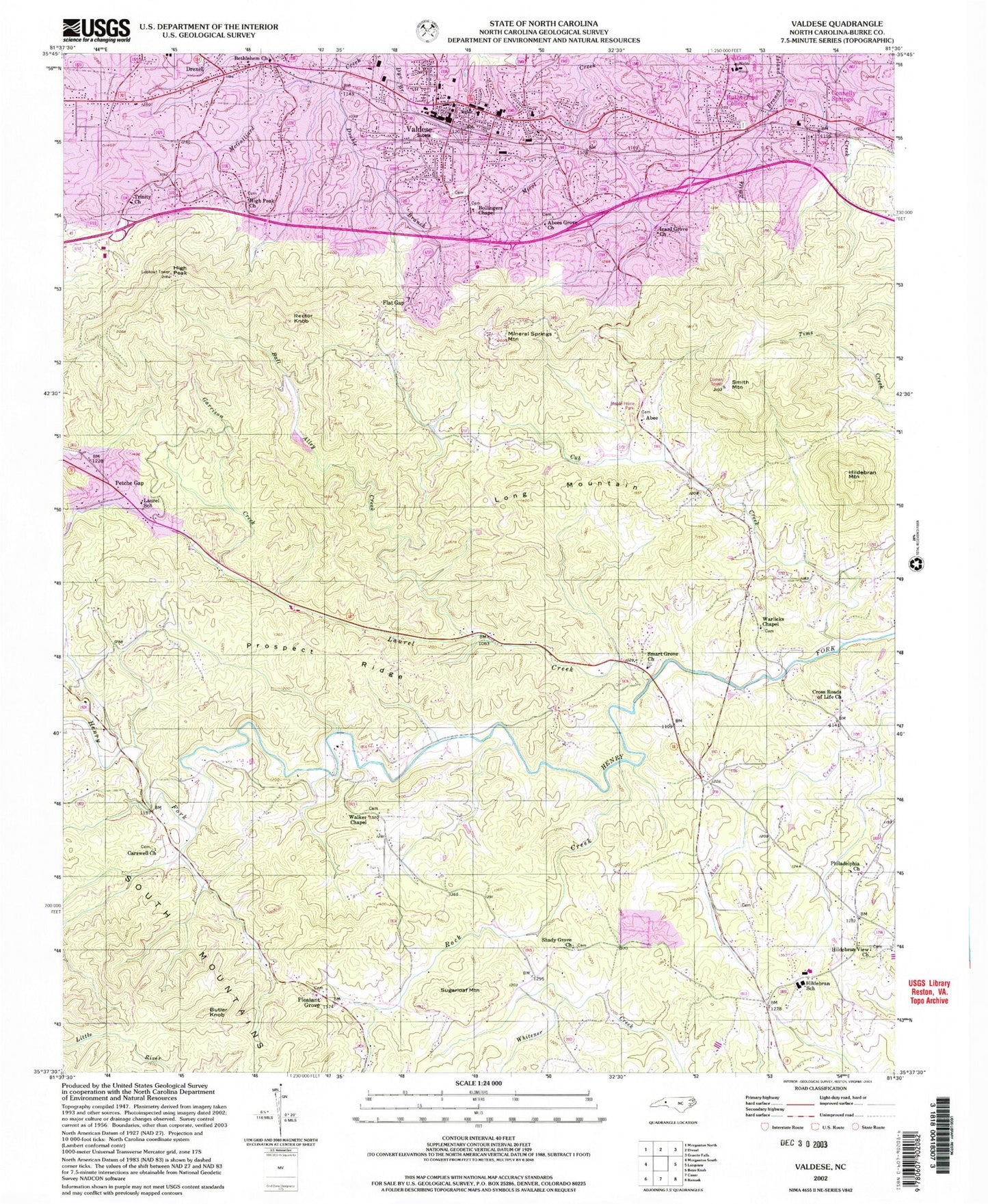
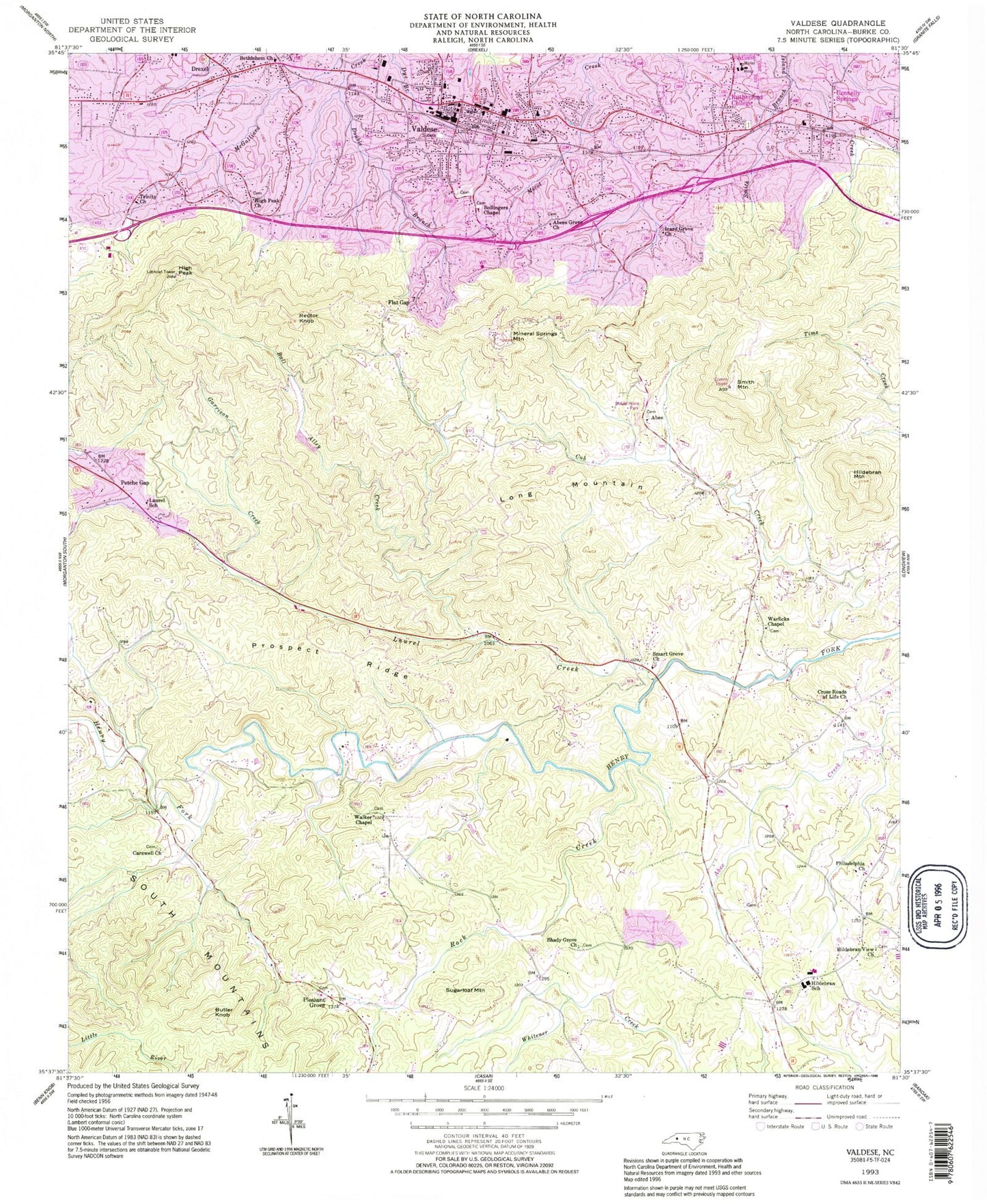
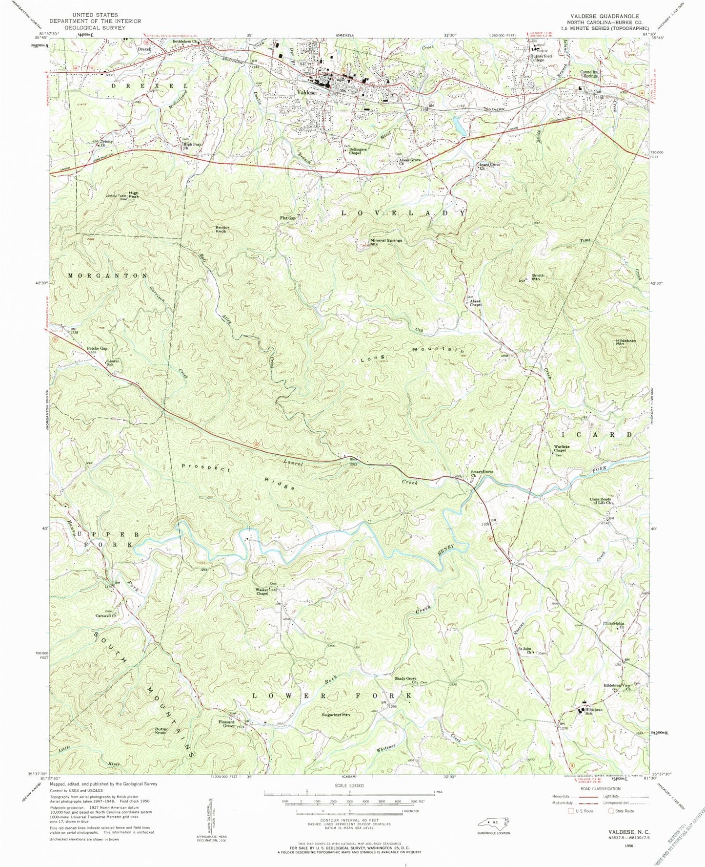
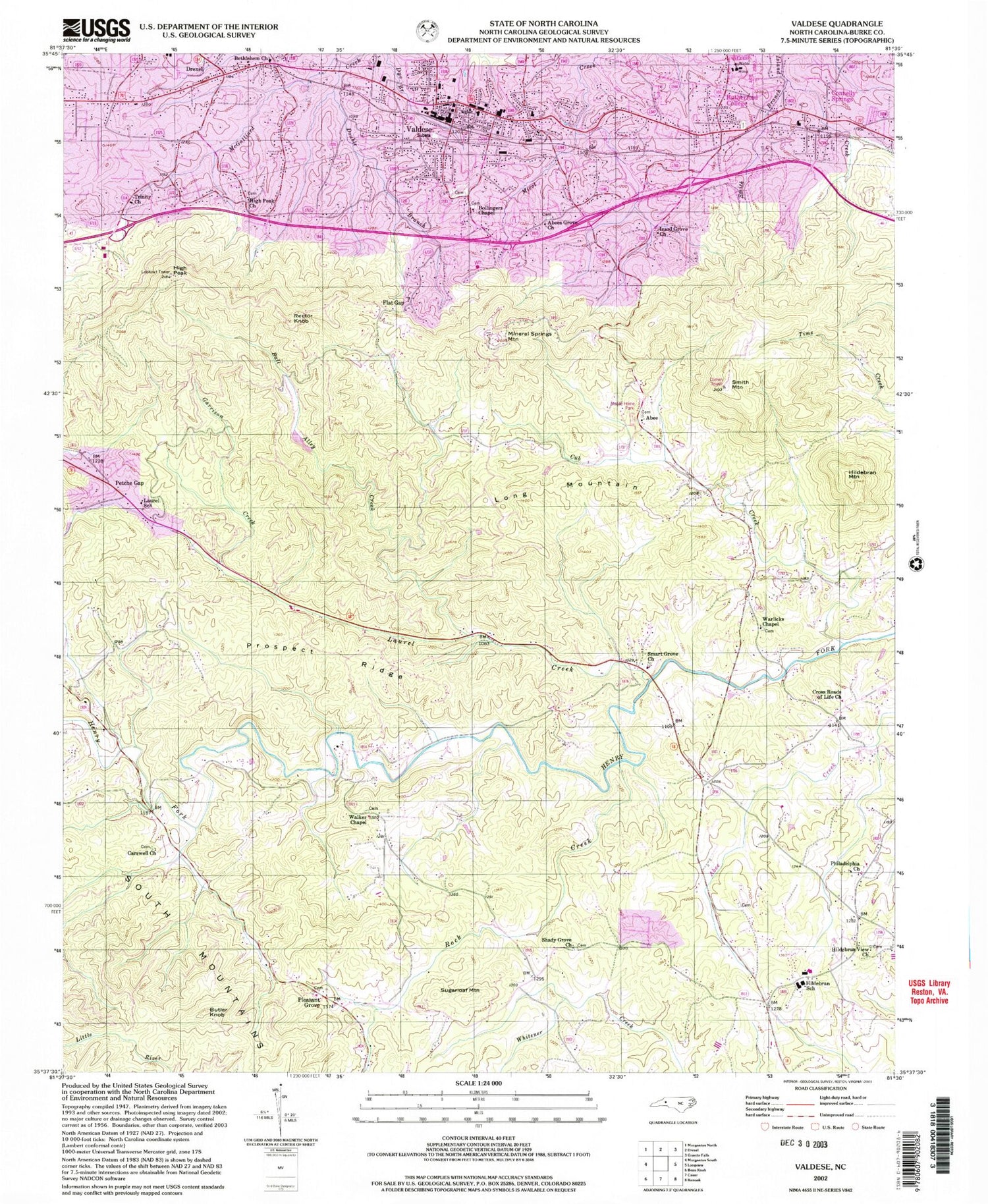
Historical USGS topographic quad map of Valdese in the state of North Carolina. Map scale may vary for some years, but is generally around 1:24,000. Print size is approximately 24" x 27"
This quadrangle is in the following counties: Burke.
The map contains contour lines, roads, rivers, towns, and lakes. Printed on high-quality waterproof paper with UV fade-resistant inks, and shipped rolled.
Contains the following named places: Abee, Abees Chapel, Abees Grove Church, Ball Alley Creek, Bethlehem Church, Bollingers Chapel, Burke County Emergency Services Station 2, Butler Knob, Carolinas Healthcare System Blue Ridge Valdese, Carswell Church, Connelly Springs, Connelly Springs Post Office, Connely Springs 1st, Cross Roads of Life Church, Cub Creek, Double Branch, Flat Gap, Garrison Creek, George Hildebran Fire and Rescue Department, George Hildebrand Elementary School, High Peak, High Peak Church, Hildebran Mountain, Hildebran School, Hildebran View Church, Icard Grove Church, Laurel Creek, Laurel School, Laurel Seventh Day Adventist Church, Long Mountain, Lovelady Volunteer Fire and Rescue Department, McCorkle Dam, McCorkle Lake, Mineral Springs Mountain, Montague Hills, Mount Calvary Church, Noname, Peasant Grove Baptist Church, Petche Gap, Philadelphia Church, Pleasant Grove, Prospect Ridge, Queens Creek, Rector Knob, Rock Creek, Rutherford College, Rutherford College Elementary School, Rutherford College Post Office, Saint John Church, Shady Grove Church, Smart Grove Church, Smith Branch, Smith Mountain, Sugarloaf Mountain, Town of Valdese, Township of Lovelady, Trinity Church, Triple Community Fire Department, United Baptist Church, Valdese, Valdese Elementary School, Valdese Fire Department, Valdese Junior High School, Valdese Lake Dam, Valdese Police Department, Valdese Post Office, Walker Chapel, Warlicks Chapel, WSVM-AM (Valdese), ZIP Codes: 28612, 28690
