MyTopo
Classic USGS Valdez A-6 SW Alaska 7.5'x7.5' Topo Map
Couldn't load pickup availability
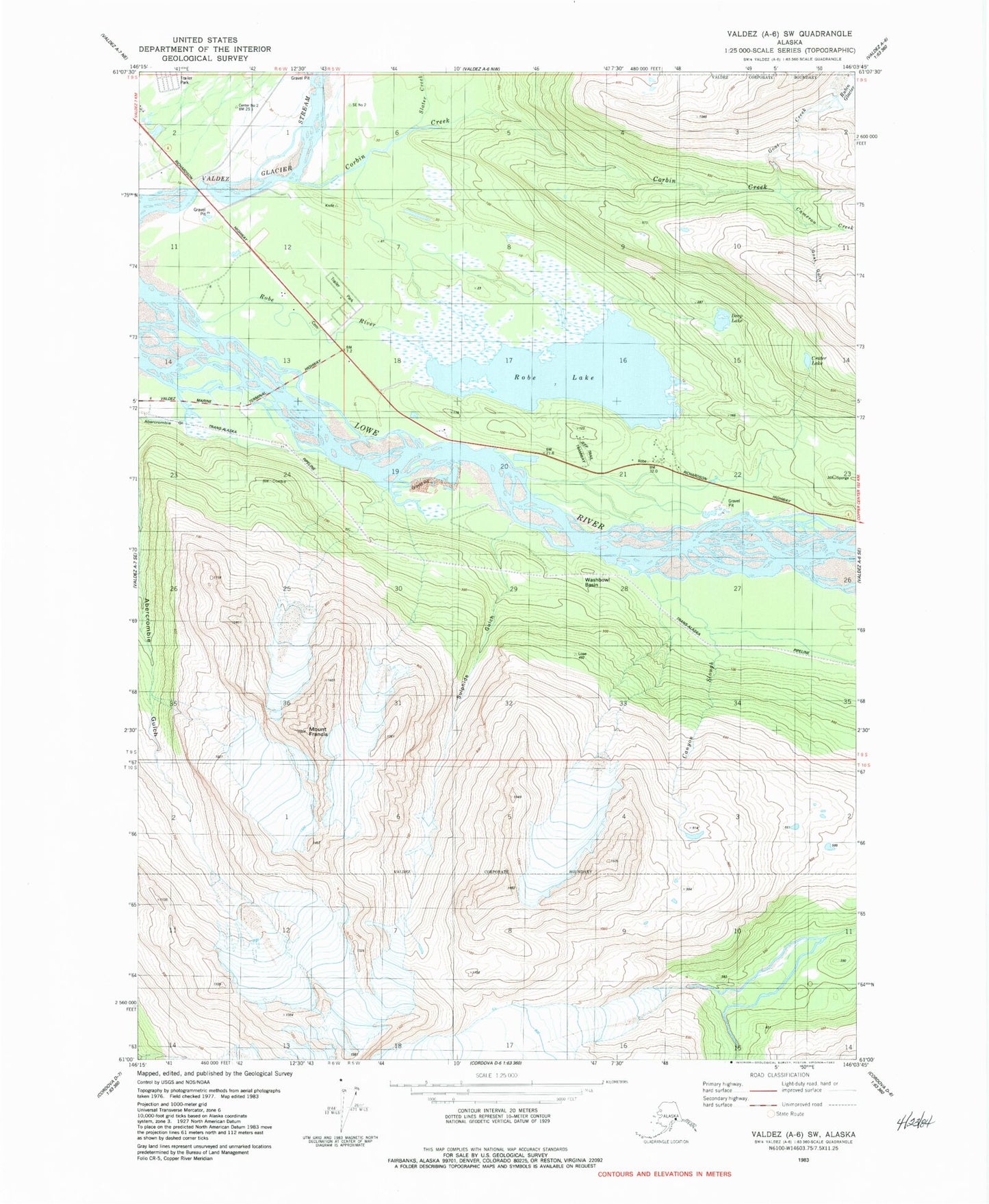
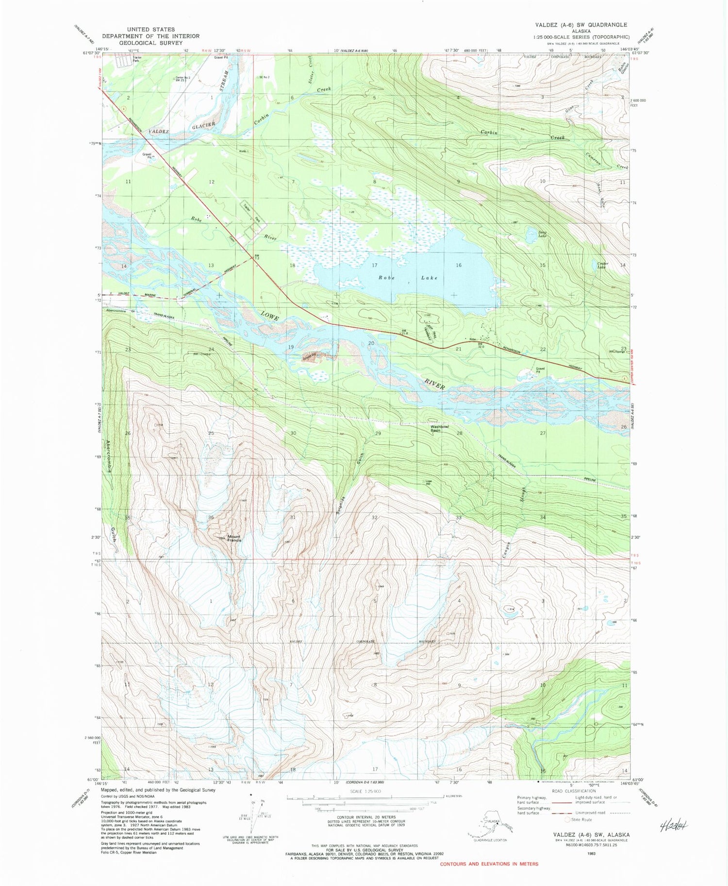
Historical USGS topographic quad map of Valdez A-6 SW in the state of Alaska. Map scale may vary for some years, but is generally around 1:24,000. Print size is approximately 24" x 27"
This quadrangle is in the following counties: Valdez-Cordova (CA).
The map contains contour lines, roads, rivers, towns, and lakes. Printed on high-quality waterproof paper with UV fade-resistant inks, and shipped rolled.
Contains the following named places: Abercrombie Gulch, Cameron Creek, Canyon Slough, Corbin Creek, Crater Lake, Deep Lake, Goat Creek, Goat Gully, Mount Francis, Robe Lake, Robe Lake Seaplane Base, Robe River, Station Number One, Sulphide Gulch, Valdez Fire Department Station 3, Valdez Memorial Cemetery, Valdez Pioneer Cemetery, Washbowl Basin