MyTopo
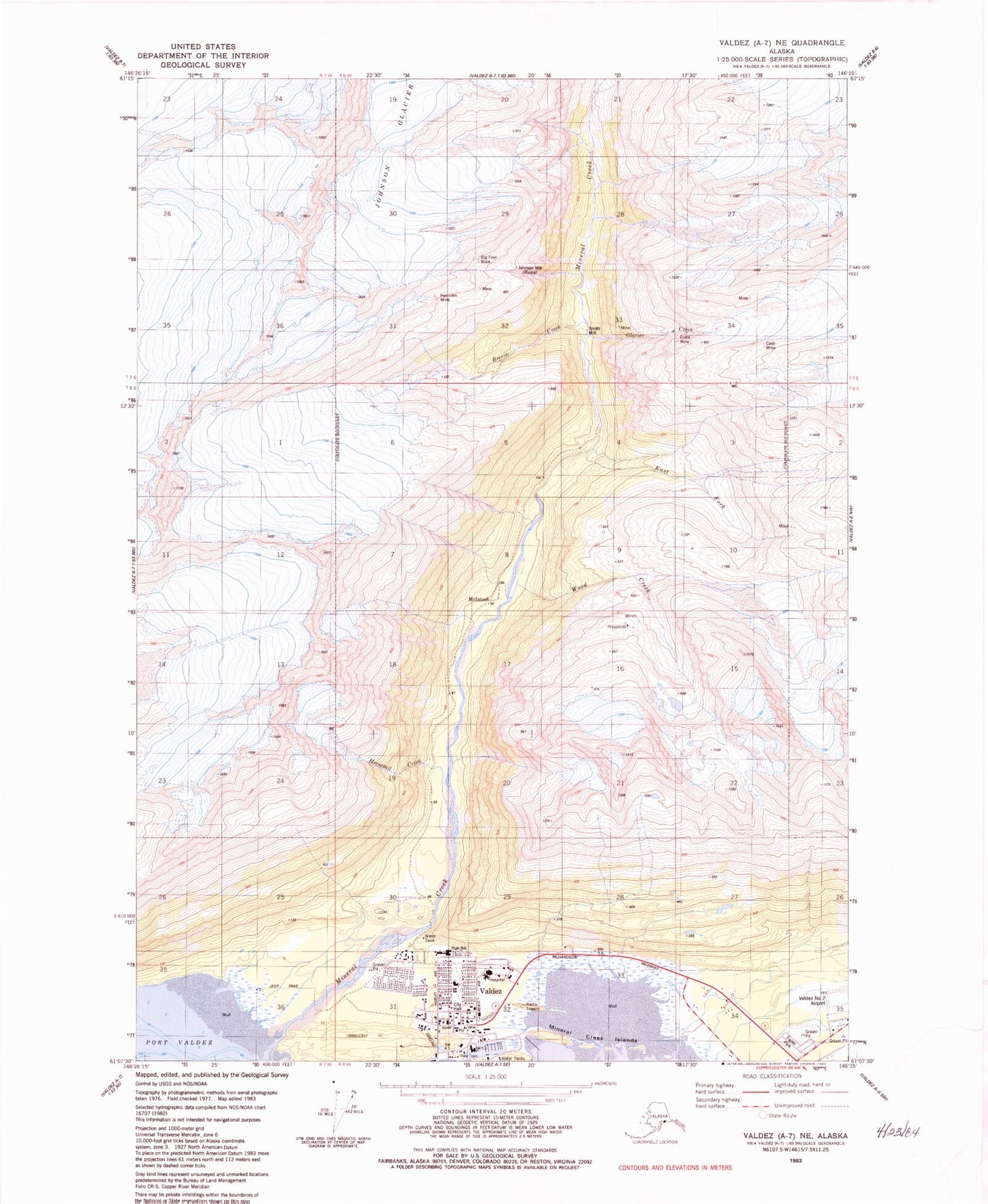
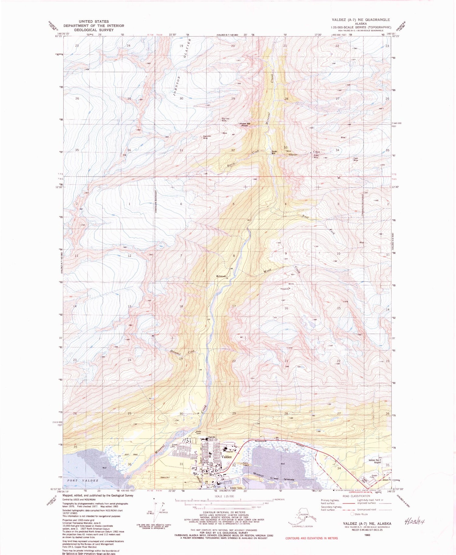
Classic USGS Valdez A-7 NE Alaska 7.5'x7.5' Topo Map
Couldn't load pickup availability
Historical USGS topographic quad map of Valdez A-7 NE in the state of Alaska. Typical map scale is 1:24,000, but may vary for certain years, if available. Print size: 24" x 27"
This quadrangle is in the following counties: Valdez-Cordova (CA).
The map contains contour lines, roads, rivers, towns, and lakes. Printed on high-quality waterproof paper with UV fade-resistant inks, and shipped rolled.
Contains the following named places: Big Four Mine, Brevier Creek, Cash Mine, East Fork Mineral Creek, Giant Mine, Glacier Creek, Hercules Mine, Horsetail Creek, Johnson Glacier, Johnson Mine, McIntosh, Mineral Creek, Mineral Creek Islands, Shoup Glacier, Smith Mill, Wood Creek, Valdez, Ammunition Island, Johnson Mill, Valdez Fire Department Station 1, CVTC Heliport, Valdez Hospital Heliport, Providence Valdez Medical Center, Valdez Public Health Center - South Central Region, Chugachmiut Tribal Organization Valdez Native Tribe Clinic, Valdez City Police Department, Alaska State Troopers Valdez, United States Customs and Border Protection Port of Entry Valdez, Valdez Post Office