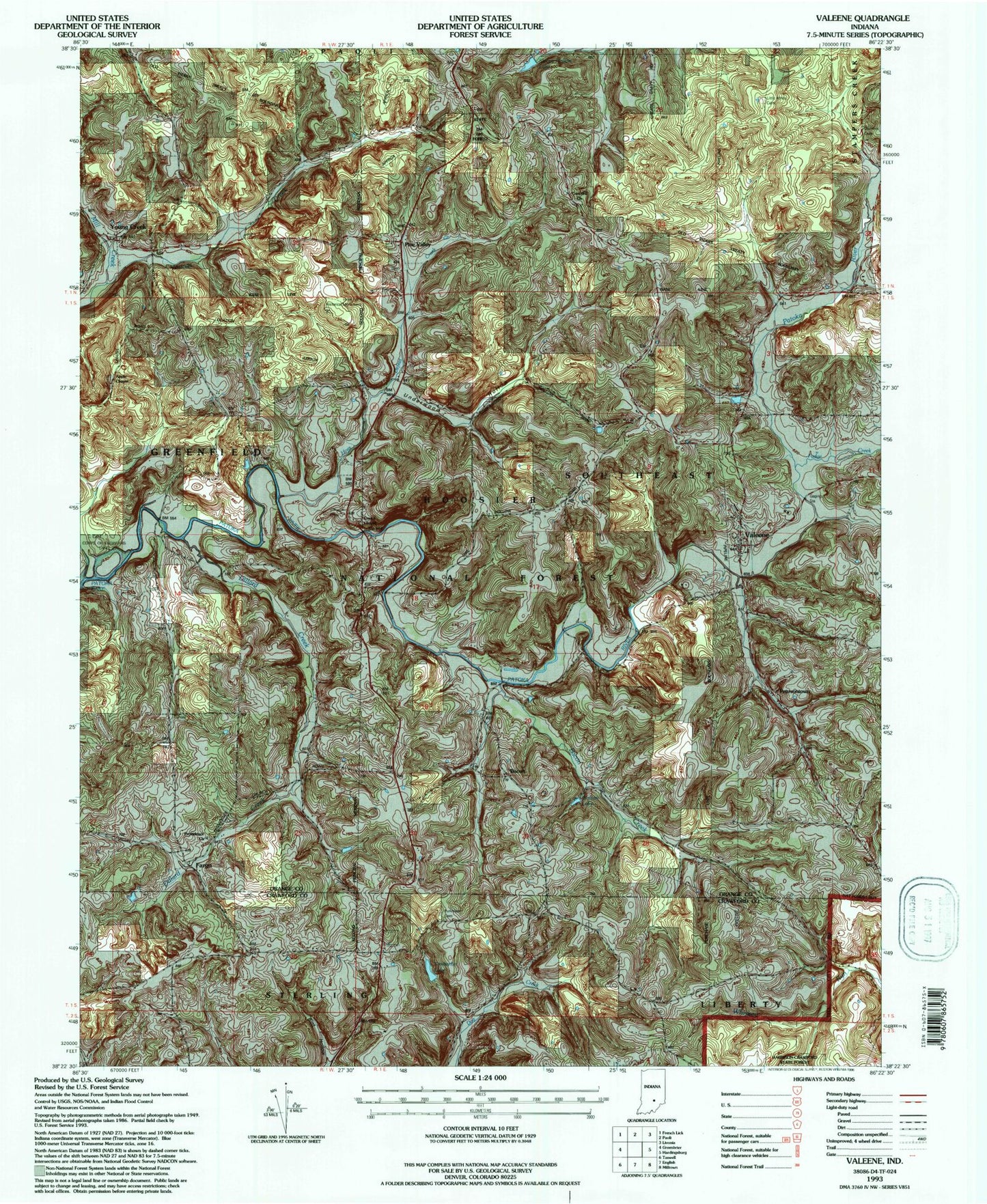
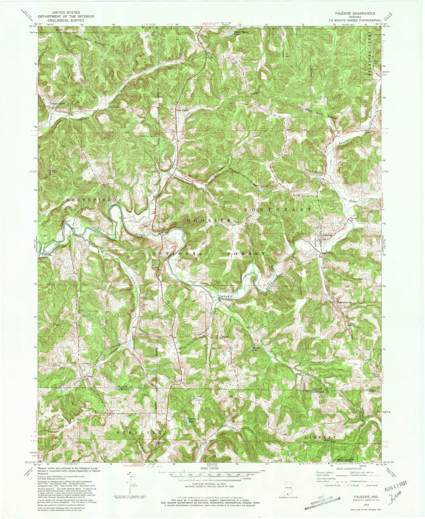
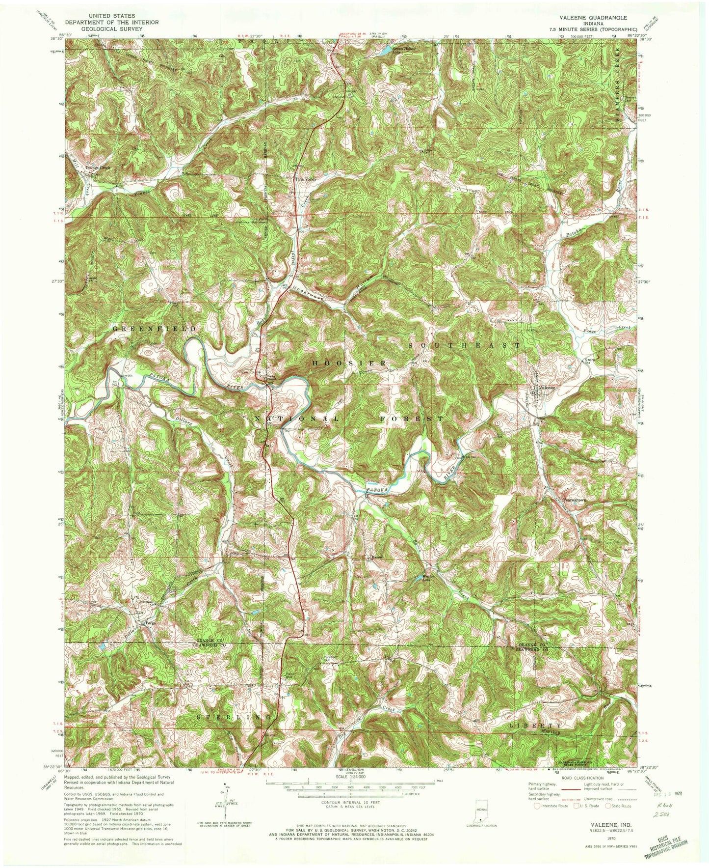
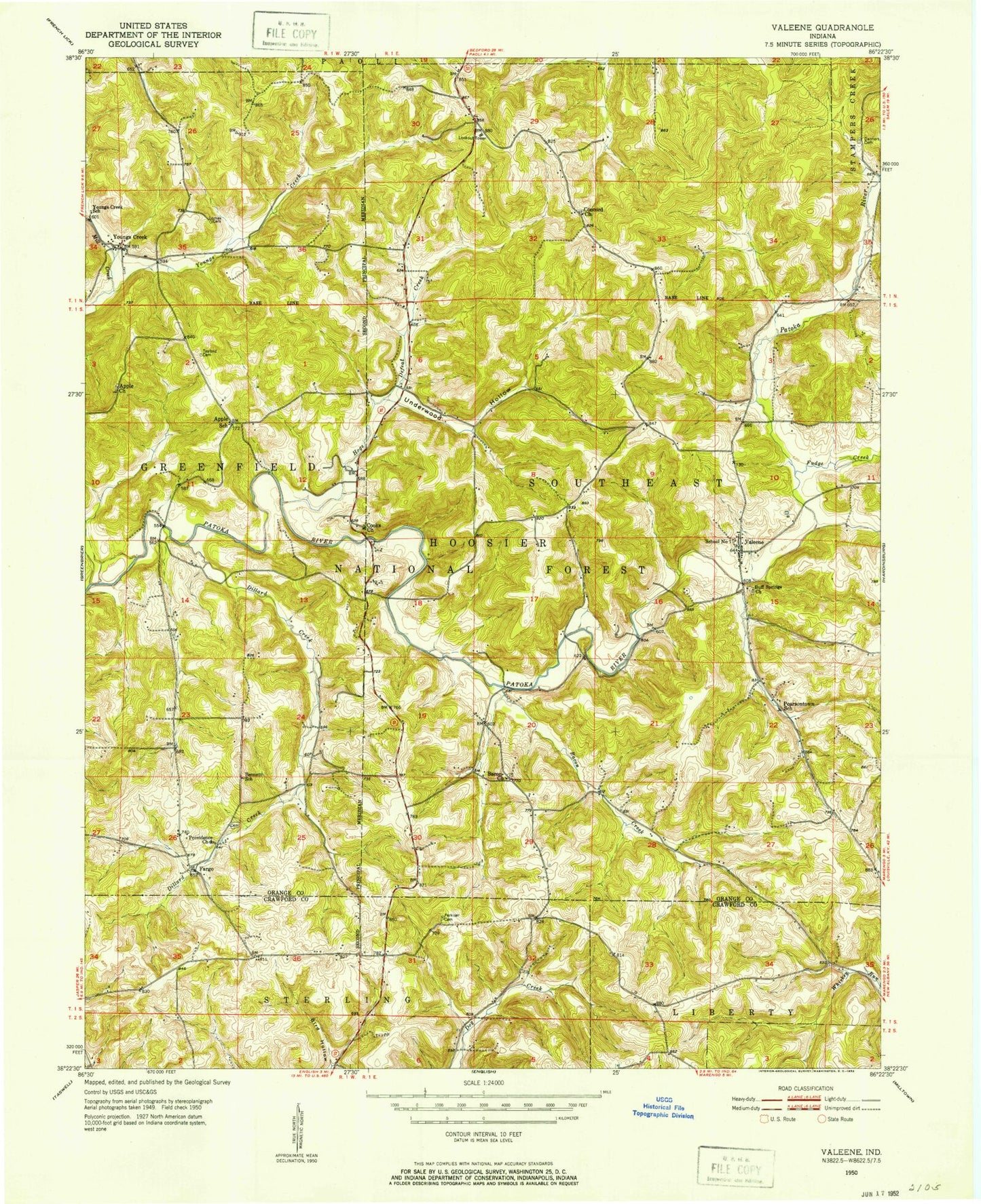
MyTopo
Classic USGS Valeene Indiana 7.5'x7.5' Topo Map
Couldn't load pickup availability
Historical USGS topographic quad map of Valeene in the state of Indiana. Map scale may vary for some years, but is generally around 1:24,000. Print size is approximately 24" x 27"
This quadrangle is in the following counties: Crawford, Orange.
The map contains contour lines, roads, rivers, towns, and lakes. Printed on high-quality waterproof paper with UV fade-resistant inks, and shipped rolled.
Contains the following named places: Apple Church, Bacon, Bacon Creek, Bird Hollow, Concord Church, Cook - Tucker Cemetery, Cooks Chapel, Danners Chapel Cemetery, Dillard Creek, Fargo, Fudge Creek, Gibbons Field, Hogs Defeat Creek, Inital Point Historical Monument, Little Africa Cemetery, Mill Creek, Pearsontown, Pine Valley, Providence Church, Sleepy Hollow Lake, Southeast Orange County Volunteer Fire Department, Timberlin Lake, Township of Southeast, Underwood Hollow, Valeene, Walton Lake, Youngs Creek