MyTopo
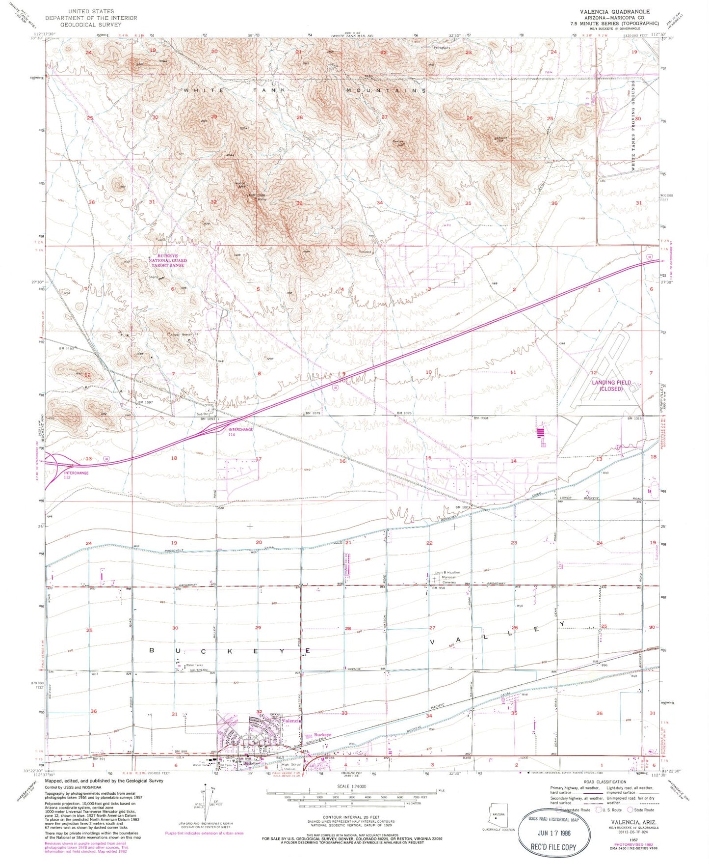
Classic USGS Valencia Arizona 7.5'x7.5' Topo Map
Couldn't load pickup availability
Historical USGS topographic quad map of Valencia in the state of Arizona. Map scale may vary for some years, but is generally around 1:24,000. Print size is approximately 24" x 27"
This quadrangle is in the following counties: Maricopa.
The map contains contour lines, roads, rivers, towns, and lakes. Printed on high-quality waterproof paper with UV fade-resistant inks, and shipped rolled.
Contains the following named places: Bales Elementary School, Buckeye Canal, Buckeye Fire Department Station 702 Sundance, Buckeye Fire Department Station 703 Verrado, Buckeye Fire Department Station 706, Buckeye FRS Dam Number Three, Buckeye FRS Dam Number Two, Buckeye Substation, Buckeye Union High School, Buckeye Valley Fire District Station 327, Buena Vista Mobile Home Park, Country Home Mobile Village, Freedom Elementary School, Grace Fellowship Church, Inca Elementary School, Leaf Verde Recreational Vehicle Resort, Liberty Substation, Louis B Hazelton Memorial Cemetery, Raven Golf Club at Verrado, Steven R Jasinski Elementary School, Sundance Elementary School, Sundance Golf Club, The Odyssey Preparatory Academy - Buckeye Apache Campus, Valencia, Verrado Elementary School, Verrado Middle School, West Park Elementary School, White Tanks Proving Grounds, Youngker High School


