MyTopo
Classic USGS Valentine South Nebraska 7.5'x7.5' Topo Map
Couldn't load pickup availability
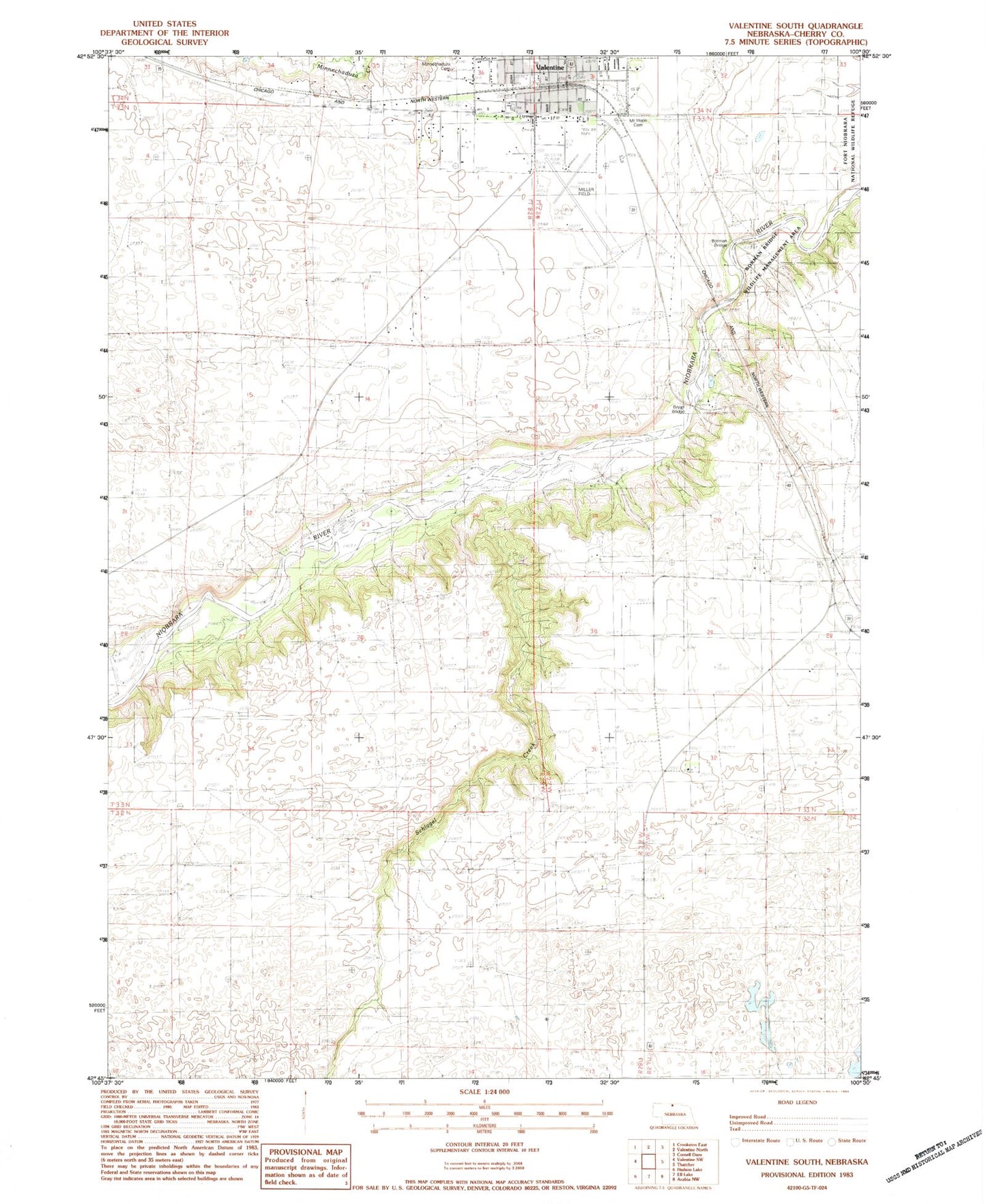
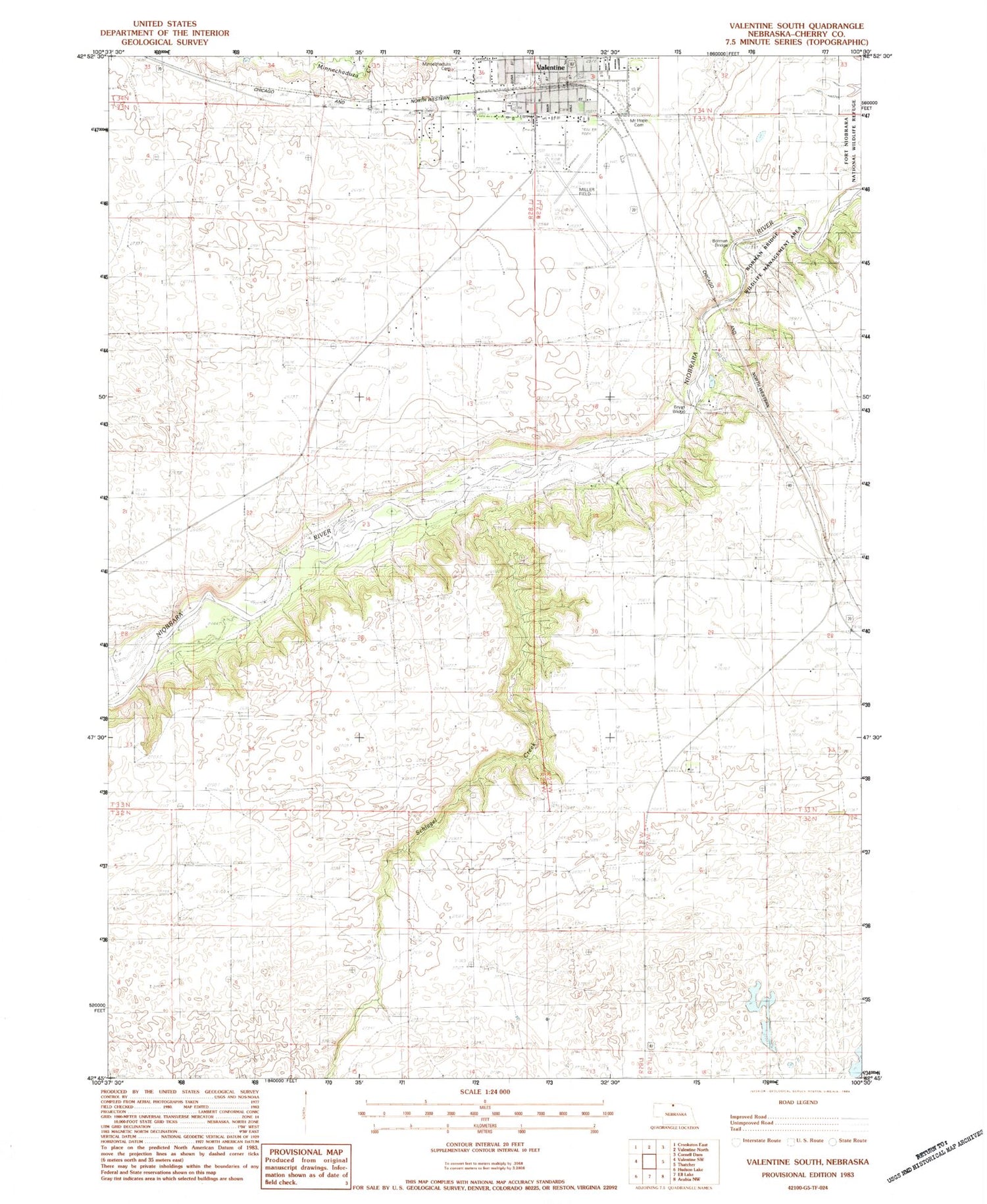
Historical USGS topographic quad map of Valentine South in the state of Nebraska. Map scale may vary for some years, but is generally around 1:24,000. Print size is approximately 24" x 27"
This quadrangle is in the following counties: Cherry.
The map contains contour lines, roads, rivers, towns, and lakes. Printed on high-quality waterproof paper with UV fade-resistant inks, and shipped rolled.
Contains the following named places: Borman Bridge, Borman Bridge Wildlife Management Area, Bryan Bridge, Bryan Bridge Historical Marker, Bryan Bridge Scenic Overlook, Centennial Hall, Cherry County Fairgrounds, Cherry County Historical Society Museum, Colburn Park, Evangelical Free Church, First Baptist Church, Fort Niobrara Historical Marker, Fort Niobrara Trail, Grace Eve Lutheran School, Grace Lutheran Church, Heth Ranch, KVSH-AM (Valentine), Littles Trailer Court, Miller Field, Minnechaduza Cemetery, Mount Hope Cemetery, Our Savior Lutheran Church Missouri Synod, Schlagel Creek, Schlagel School, School Number 21, Sweetheart Trailer Court, Valentine, Valentine Election Precinct, Valentine KOA Campground, Valentine Middle School, Valentine Motel and RV Park, Valentine Post Office, Valentine Trailhead Park, Valentine Visitors Center, Valentine Volunteer Fire Department, Zion Lutheran Church Wisconsin Synod, Zion Lutheran School