MyTopo
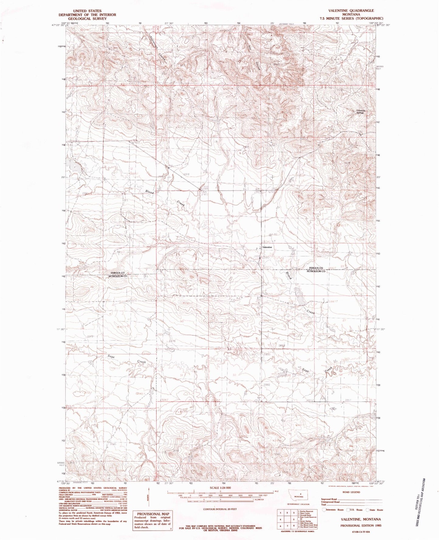
Classic USGS Valentine Montana 7.5'x7.5' Topo Map
Couldn't load pickup availability
Historical USGS topographic quad map of Valentine in the state of Montana. Map scale may vary for some years, but is generally around 1:24,000. Print size is approximately 24" x 27"
This quadrangle is in the following counties: Fergus, Petroleum.
The map contains contour lines, roads, rivers, towns, and lakes. Printed on high-quality waterproof paper with UV fade-resistant inks, and shipped rolled.
Contains the following named places: 18N25E02DC__01 Well, 18N25E02DCCC01 Well, 18N26E29AAA_01 Well, Harts School, Long School, N Barnett Number 1 Dam, N Barrett Number 2 Dam, Nettleton School, New Long School, Sage Creek, Sage Creek School, Sluggett Number 1 Dam, Sluggett Number 2 Dam, Stephens School, US Number 41 Dam, Valentine, Valentine Post Office, Valentine Springs