MyTopo
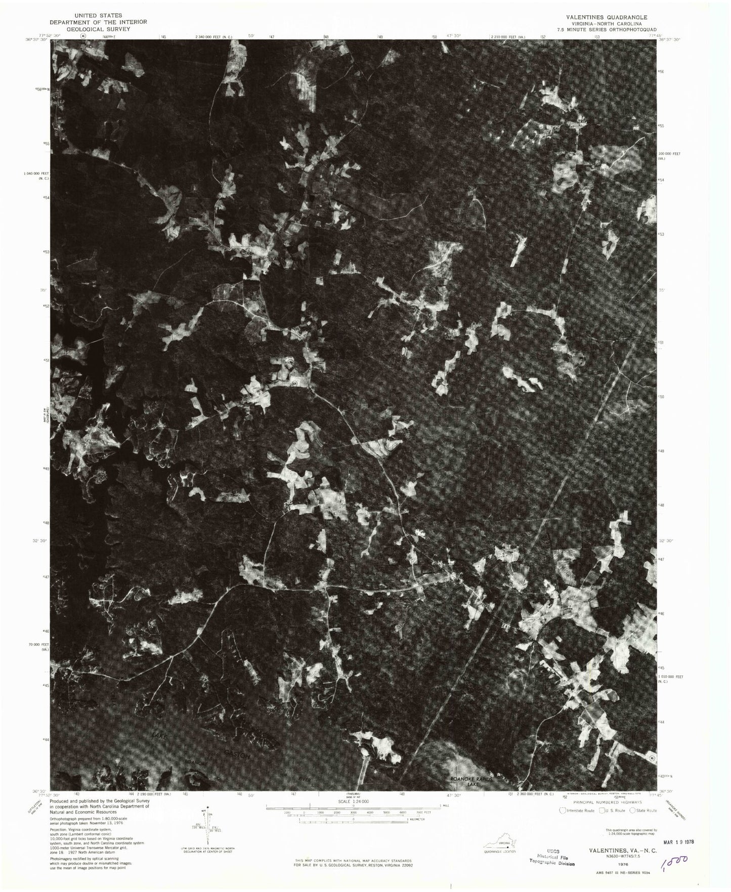
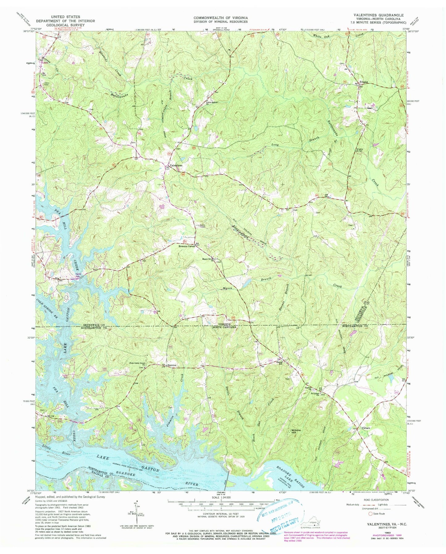
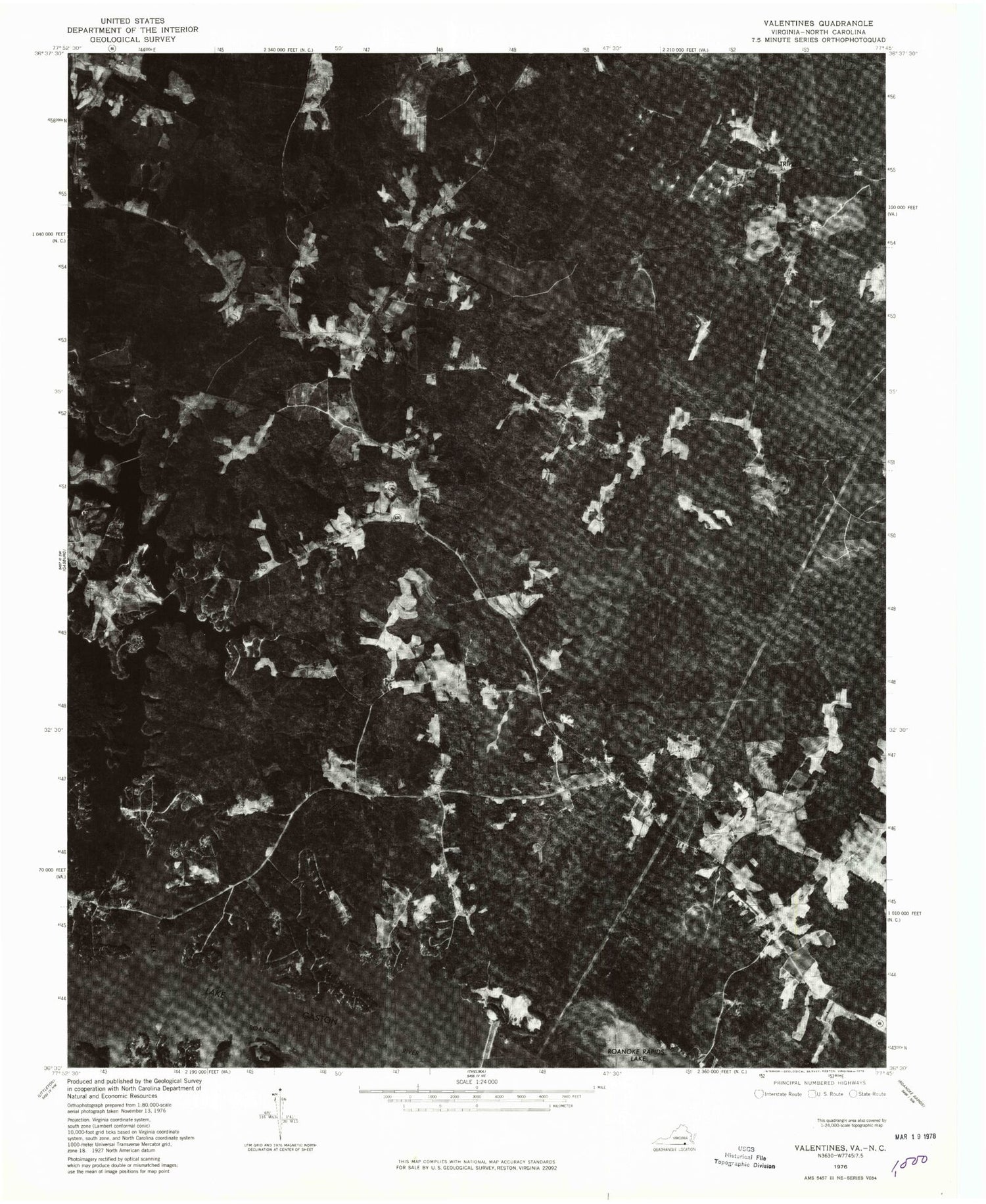
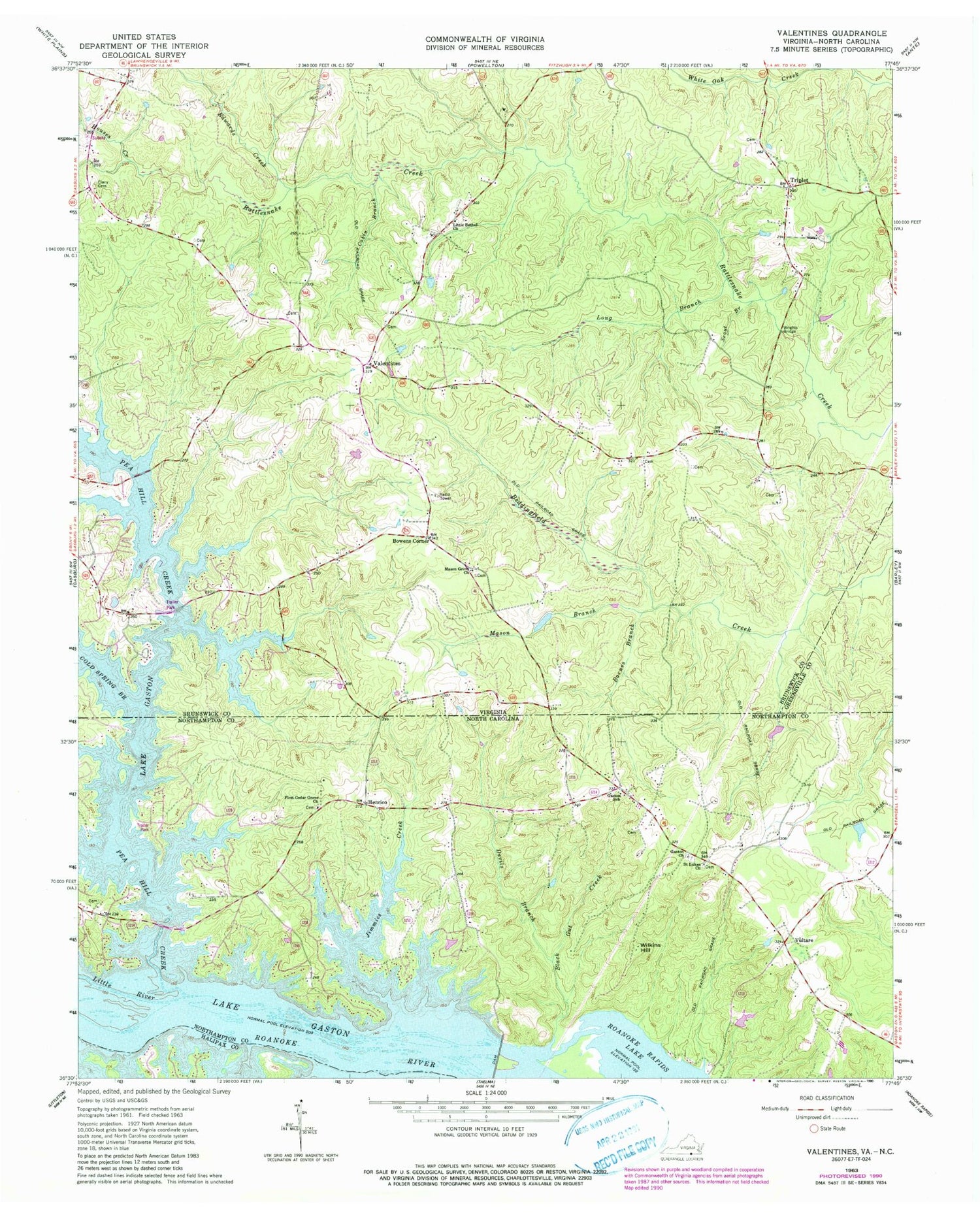
Classic USGS Valentines Virginia 7.5'x7.5' Topo Map
Couldn't load pickup availability
Historical USGS topographic quad map of Valentines in the states of Virginia, North Carolina. Map scale may vary for some years, but is generally around 1:24,000. Print size is approximately 24" x 27"
This quadrangle is in the following counties: Brunswick, Greensville, Halifax, Northampton.
The map contains contour lines, roads, rivers, towns, and lakes. Printed on high-quality waterproof paper with UV fade-resistant inks, and shipped rolled.
Contains the following named places: Baker Island, Barnes Creek, Black Gut Creek, Bowens Corner, Brunswick Estates, Cabin Branch, Central Life Saving and Rescue Squad, Clary Cemetery, Clary Millpond, Cold Spring Branch, Colony Club, Delbridge Estates, Devils Branch, Drumgoole, Edwards Creek, First Cedar Grove Church, Gasburg Census Designated Place, Gaston Church, Gaston Dam, Gaston School, Henrico, Henrico Post Office, Hidden Acres, Houses Creek, Jimmies Creek, Kennons, Lake Gaston Estates, Little Bethel Church, Little Chapel Holiness Church, Little River, Long Branch, Mason Branch, Mason Grove Church, Pea Hill Creek, Pea Hill Estates, Pea Hill Shores, Poythress Estates, Saint Lukes Church, Scout Branch, Southside Shores, Triplet, Triplet Volunteer Fire Department, Valentines, Valentines Post Office, Valentines School Number Seven, Vultare, Wilkins Hill, Wrights Bridge, ZIP Codes: 23887, 27842


