
MyTopo
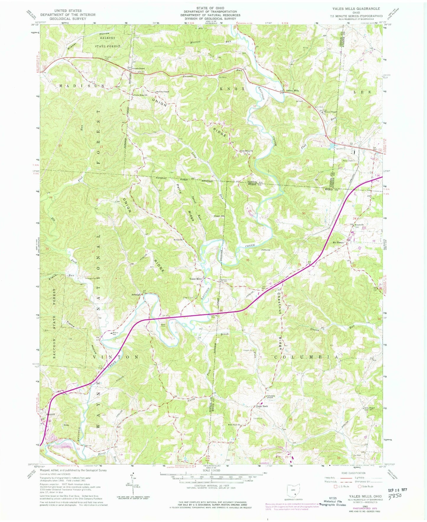
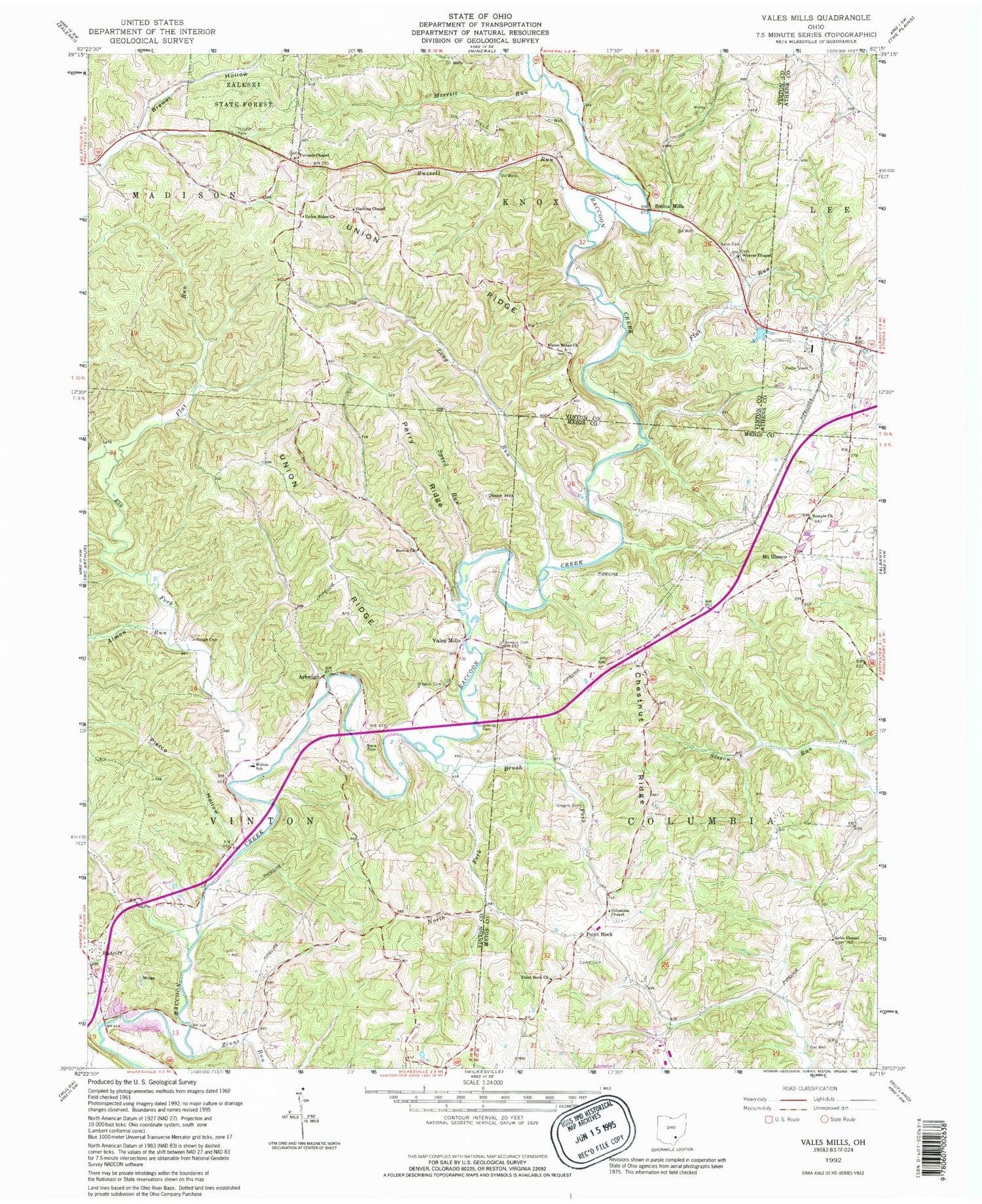
Classic USGS Vales Mills Ohio 7.5'x7.5' Topo Map
Couldn't load pickup availability
Historical USGS topographic quad map of Vales Mills in the state of Ohio. Typical map scale is 1:24,000, but may vary for certain years, if available. Print size: 24" x 27"
This quadrangle is in the following counties: Athens, Meigs, Vinton.
The map contains contour lines, roads, rivers, towns, and lakes. Printed on high-quality waterproof paper with UV fade-resistant inks, and shipped rolled.
Contains the following named places: Alman Run, Arbaugh Cemetery, Bolin Cemetery, Boring Church, Bowens Cemetery, Brewer Hollow, Castor Cemetery, Chestnut Ridge, Cumming Cemetery, Dixon Hill, Flat Run, Gregory Cemetery, Gregory Cemetery, Grim Chapel, Harkins Chapel, Long Run, Mace Cemetery, North Fork Brush Fork, Perry Ridge, Pierce Hollow, Russell Run, Speed Run, Union Ridge, Union Ridge Church, Union Ridge Church, Weaver Chapel, Zeal (historical), Chestnut Ridge School (historical), Cottrill School (historical), Eakin Mill Bridge, Flat Run School (historical), Mound School (historical), Seldom Seen School (historical), Whiteoak School (historical), Zinns Run, Pincher (historical), Arbaugh, Hooper Park, Point Rock, Vales Mills, Brush Fork, Flat Run, Merritt Run, Temple Cemetery, Bolins Mills, Columbia Chapel, Mount Blanco, Point Rock Church, Temple United Methodist Church, Buzzard School (historical), Elk Fork, Wilton Elementary School, Mount Blanco Post Office (historical), Township of Columbia, Township of Vinton, Harkins Chapel Cemetery, Putnam Chapel, Putnam Chapel Cemetery, Radcliff Cemetery, Radcliff United Brethren Church, Union Ridge Cemetery, Weaver Chapel Cemetery, Zeal Post Office (historical), Pointrock Post Office (historical)