MyTopo
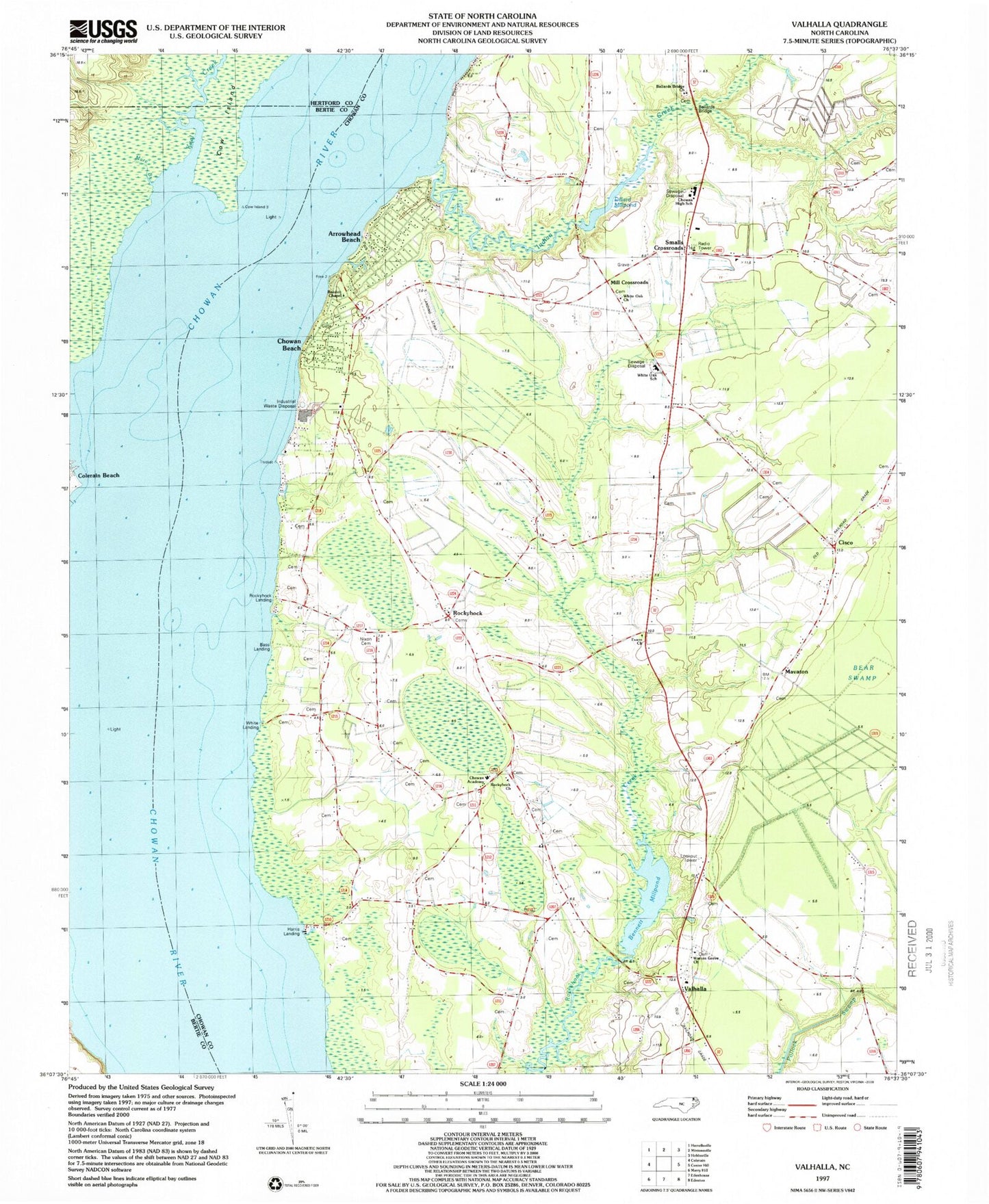
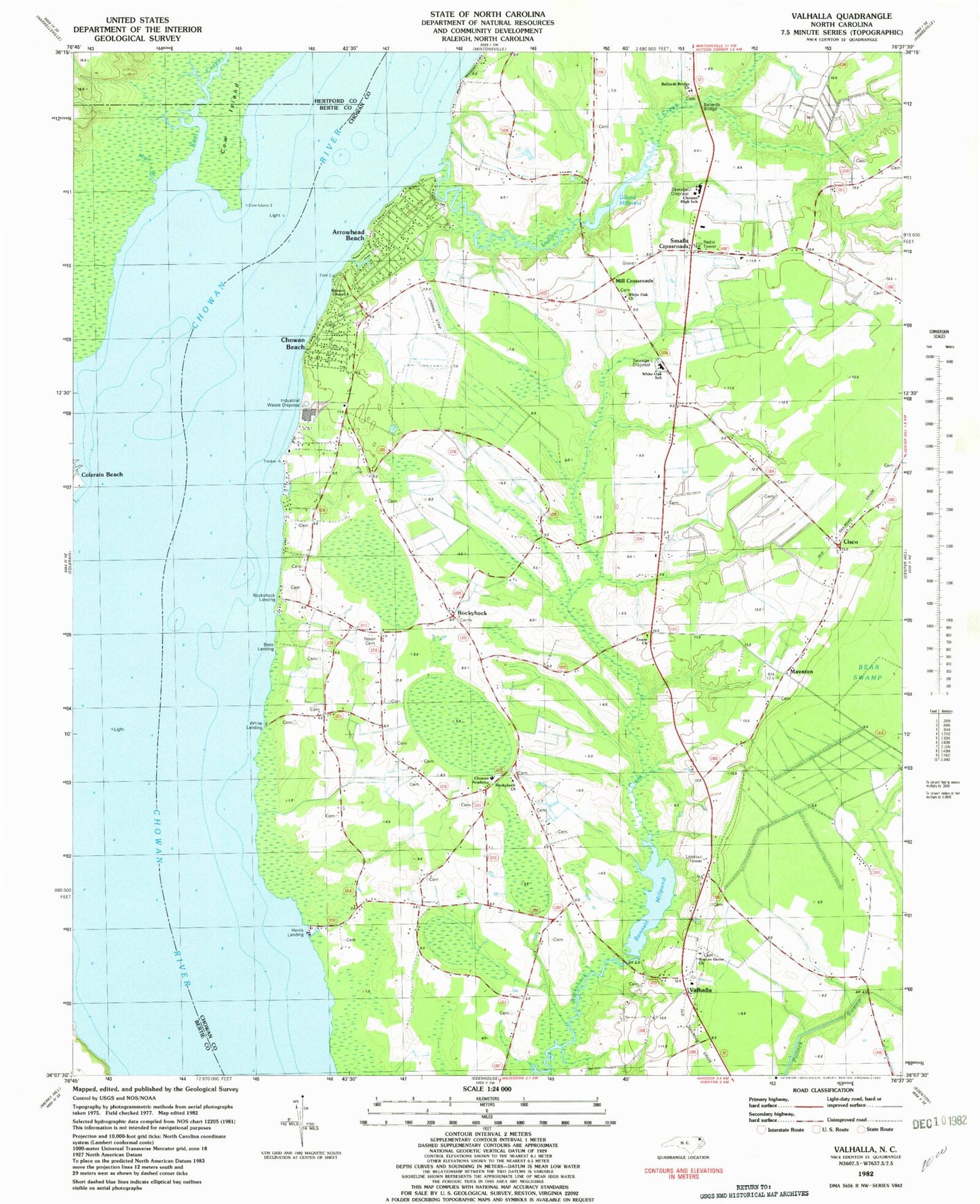
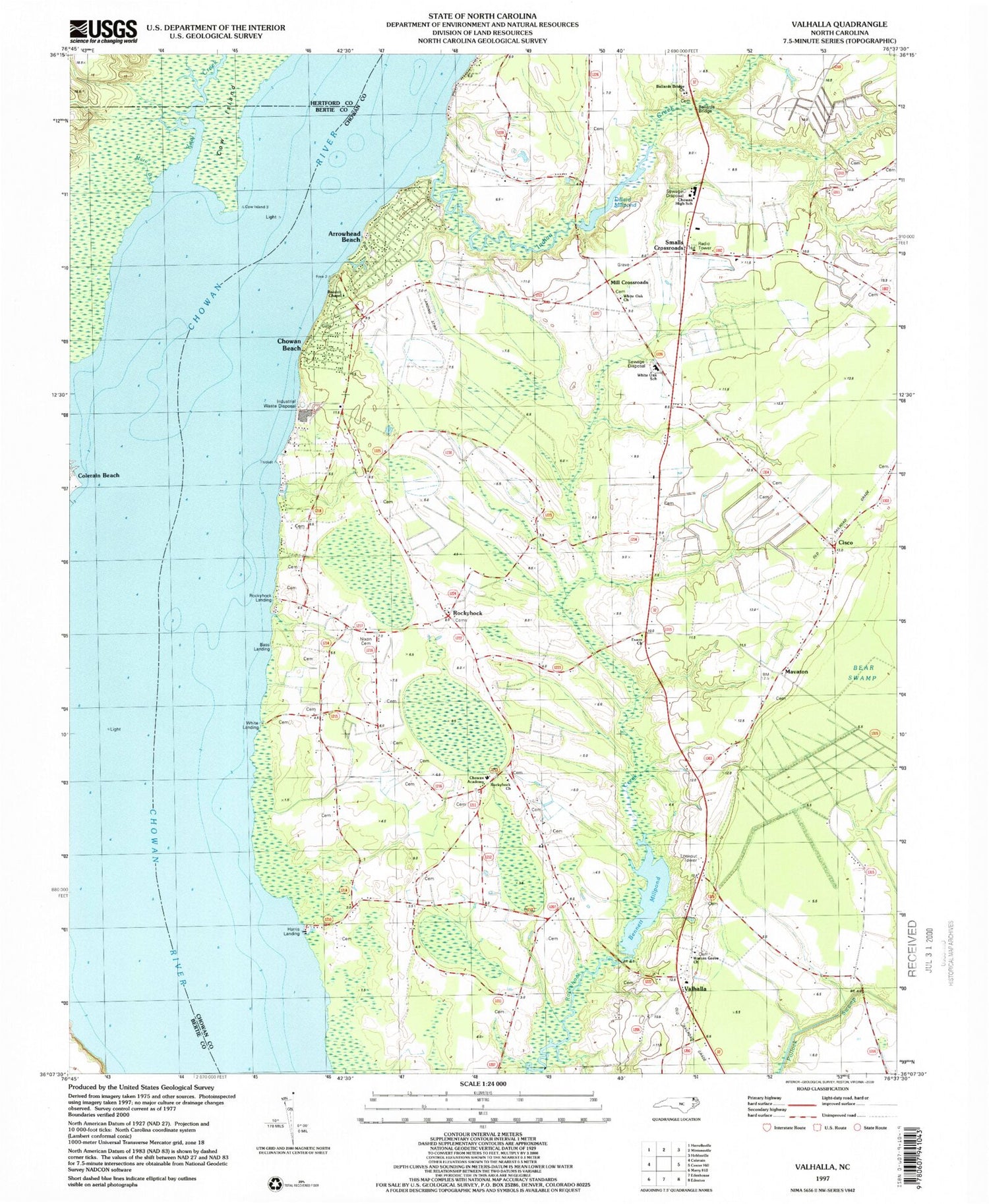
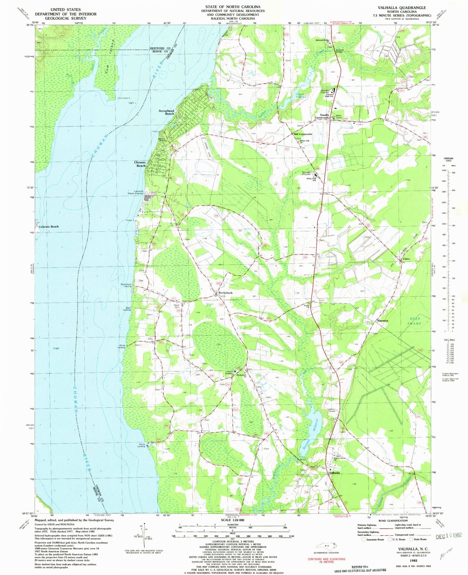
Classic USGS Valhalla North Carolina 7.5'x7.5' Topo Map
Couldn't load pickup availability
Historical USGS topographic quad map of Valhalla in the state of North Carolina. Map scale may vary for some years, but is generally around 1:24,000. Print size is approximately 24" x 27"
This quadrangle is in the following counties: Bertie, Chowan, Hertford.
The map contains contour lines, roads, rivers, towns, and lakes. Printed on high-quality waterproof paper with UV fade-resistant inks, and shipped rolled.
Contains the following named places: Arrowhead Beach, Arrowhead Beach Census Designated Place, Ballards Bridge, Ballards Bridge Church, Bandon Chapel, Bass Landing, Bennett Millpond, Center Hill - Crossroads Fire District, Chowan Academy, Chowan Beach, Chowan Beach Census Designated Place, Chowan County Emergency Medical Services Unit 3, Chowan County Emergency Medical Services Unit 4, Chowan High School, Chowan Junior High School, Church of the Lord Jesus Christ, Cisco, Clum, Colerain Landing, Cow Island, Currituck Creek, Dillard Creek, Dillard Millpond, Evans Church, Harris Landing, Indian Creek, Johnsons Point, Keel Creek, Lee's Airport, Mare Branch, Mavaton, Mill Crossroads, Nixon Cemetery, Rockyhock, Rockyhock Church, Rockyhock Landing, Smalls Crossroads, Township 2-Middle, Valhalla, Wardville, Warren Grove Church, White Landing, White Oak Church, White Oak School


