MyTopo
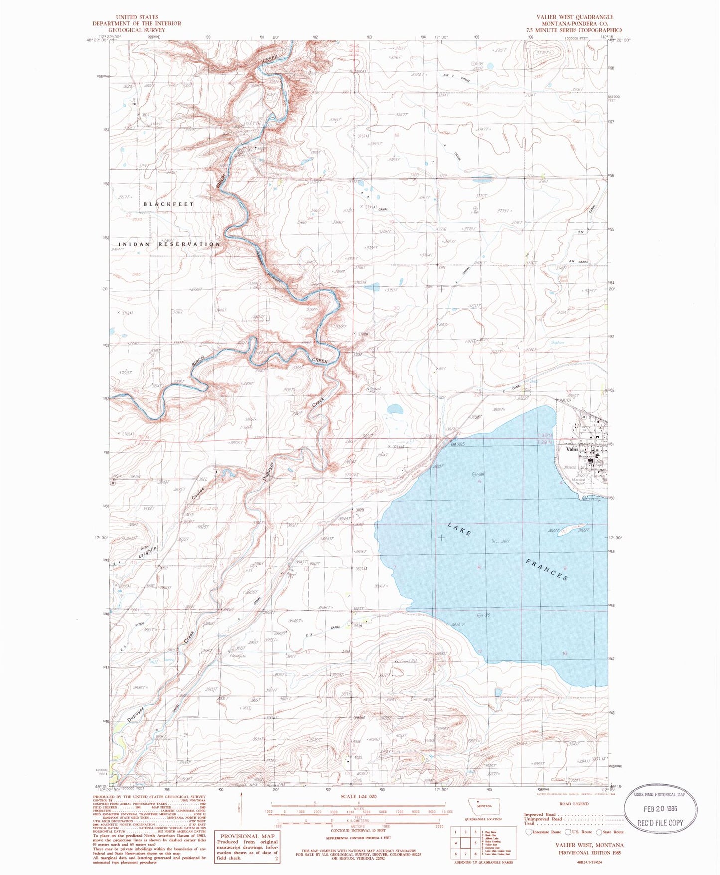
Classic USGS Valier West Montana 7.5'x7.5' Topo Map
Couldn't load pickup availability
Historical USGS topographic quad map of Valier West in the state of Montana. Map scale may vary for some years, but is generally around 1:24,000. Print size is approximately 24" x 27"
This quadrangle is in the following counties: Pondera.
The map contains contour lines, roads, rivers, towns, and lakes. Printed on high-quality waterproof paper with UV fade-resistant inks, and shipped rolled.
Contains the following named places: 29N06W24DABA01 Well, 30N05W33DDB_01 Well, A 4 Canal, A Canal, AN Two Canal, Birch Creek Bridge, Birchfield School, C 3 Canal, C Canal, Dupuyer Creek, First Baptist Church, Frances Heights School, Goolin Ranch, Highland School, Home Ranch, Kilian Ranch, Lake Frances, Lake Frances North Dam, Lakeview Cemetery, Laughlin Coulee, Miller Park, Mountain View School, Parker Ranch, Saint Francis Catholic Church, Town of Valier, Valier, Valier Clinic, Valier Elementary School, Valier High School, Valier Lutheran Church, Valier Public Library, Valier United Methodist Church, Valier Volunteer Fire Department, Wayman Ranch


