MyTopo
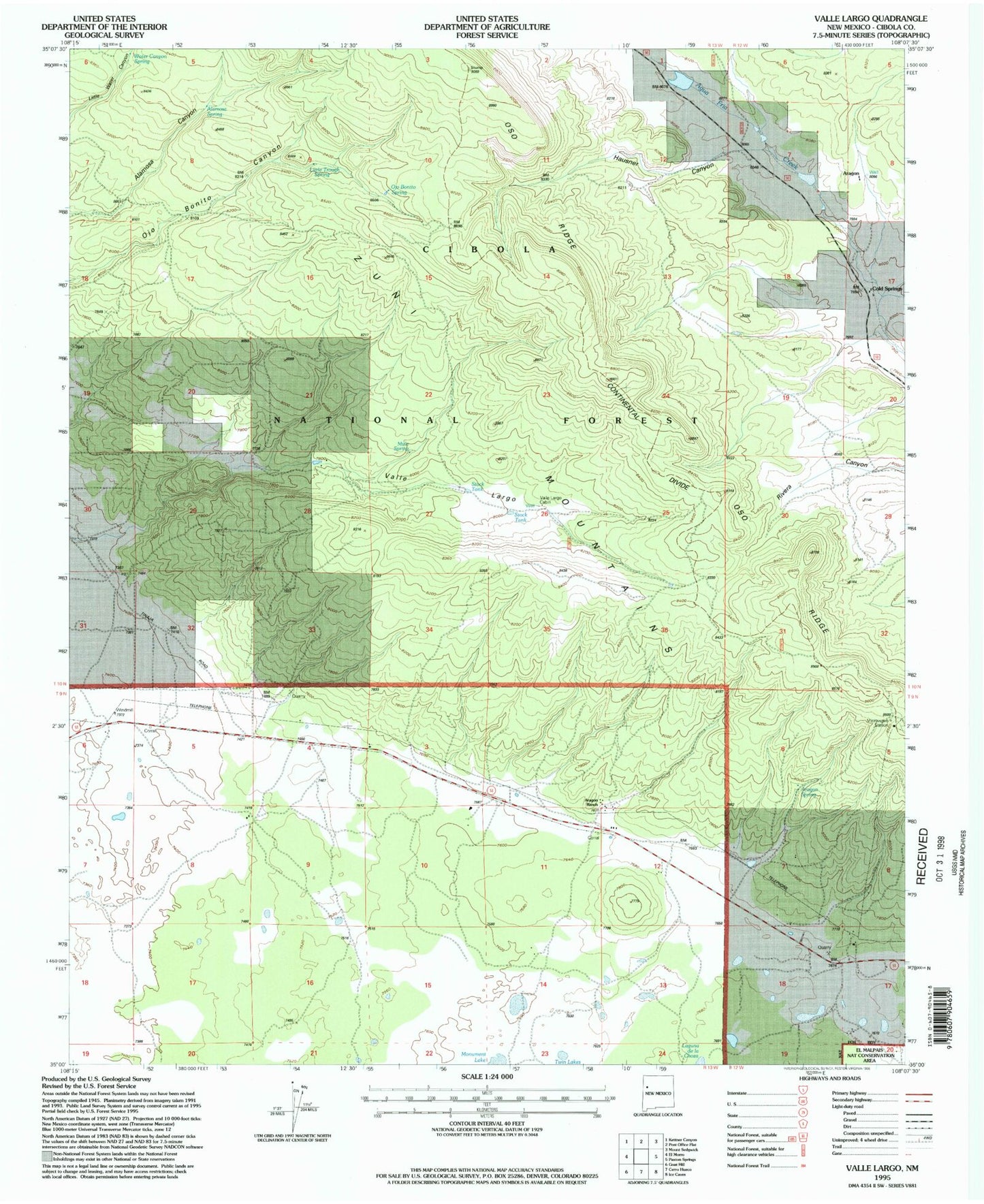
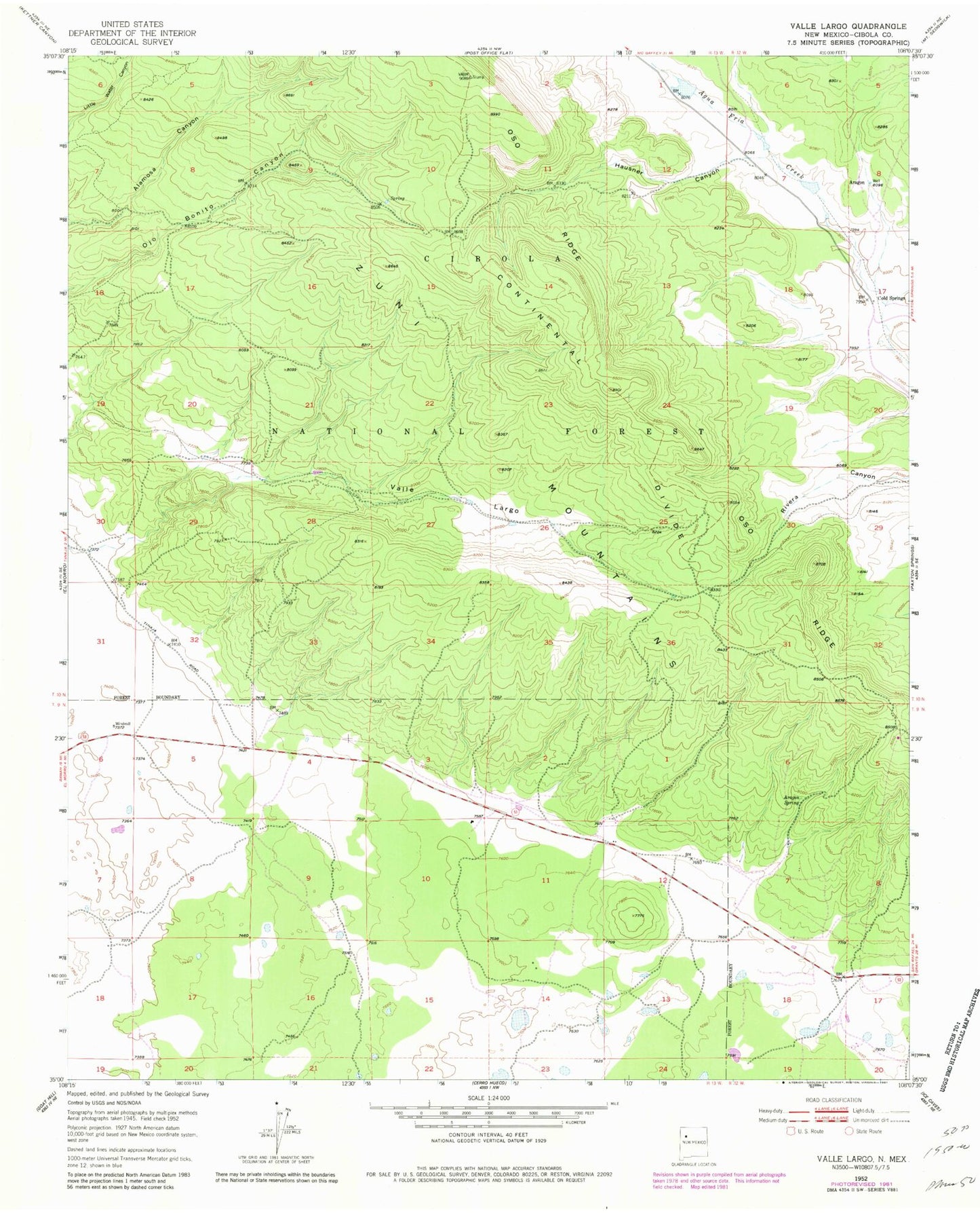
Classic USGS Valle Largo New Mexico 7.5'x7.5' Topo Map
Couldn't load pickup availability
Historical USGS topographic quad map of Valle Largo in the state of New Mexico. Typical map scale is 1:24,000, but may vary for certain years, if available. Print size: 24" x 27"
This quadrangle is in the following counties: Cibola.
The map contains contour lines, roads, rivers, towns, and lakes. Printed on high-quality waterproof paper with UV fade-resistant inks, and shipped rolled.
Contains the following named places: Aragon, Aragon Ranch, Aragon Spring, Cold Springs, Hausner Canyon, Laguna de la Choza, Monument Lake, Oso Ridge, Valle Largo, Water Canyon Spring, Wild Horse Canyon, Alamosa Spring, Little Trough Spring, Ojo Bonito, Mule Spring, Temporary Stock Tank, Valle Largo Cabin, Largo Stock Tank, El Malpais National Conservation Area, Valle Largo Well


