MyTopo
Classic USGS Valley Center Kansas 7.5'x7.5' Topo Map
Couldn't load pickup availability
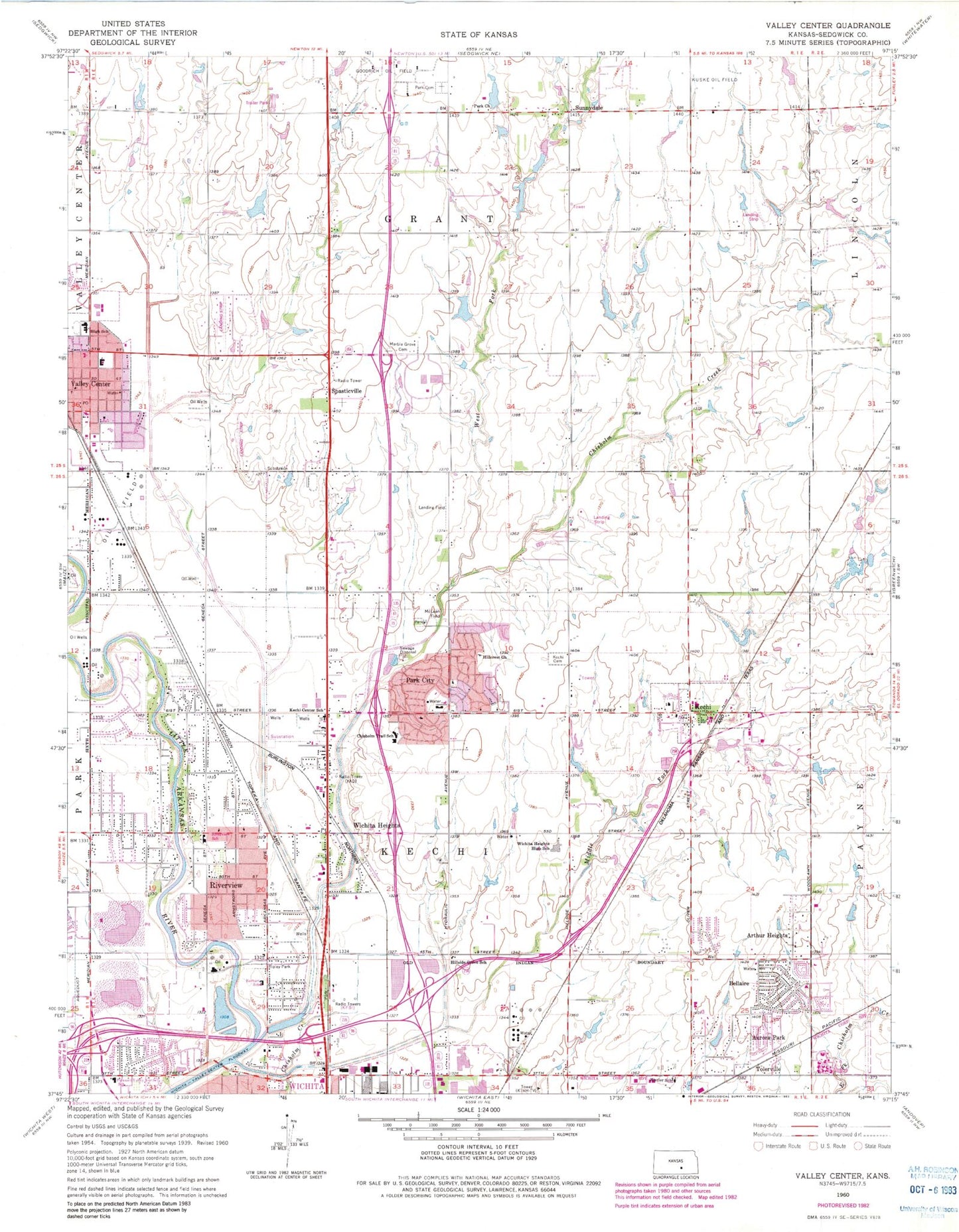
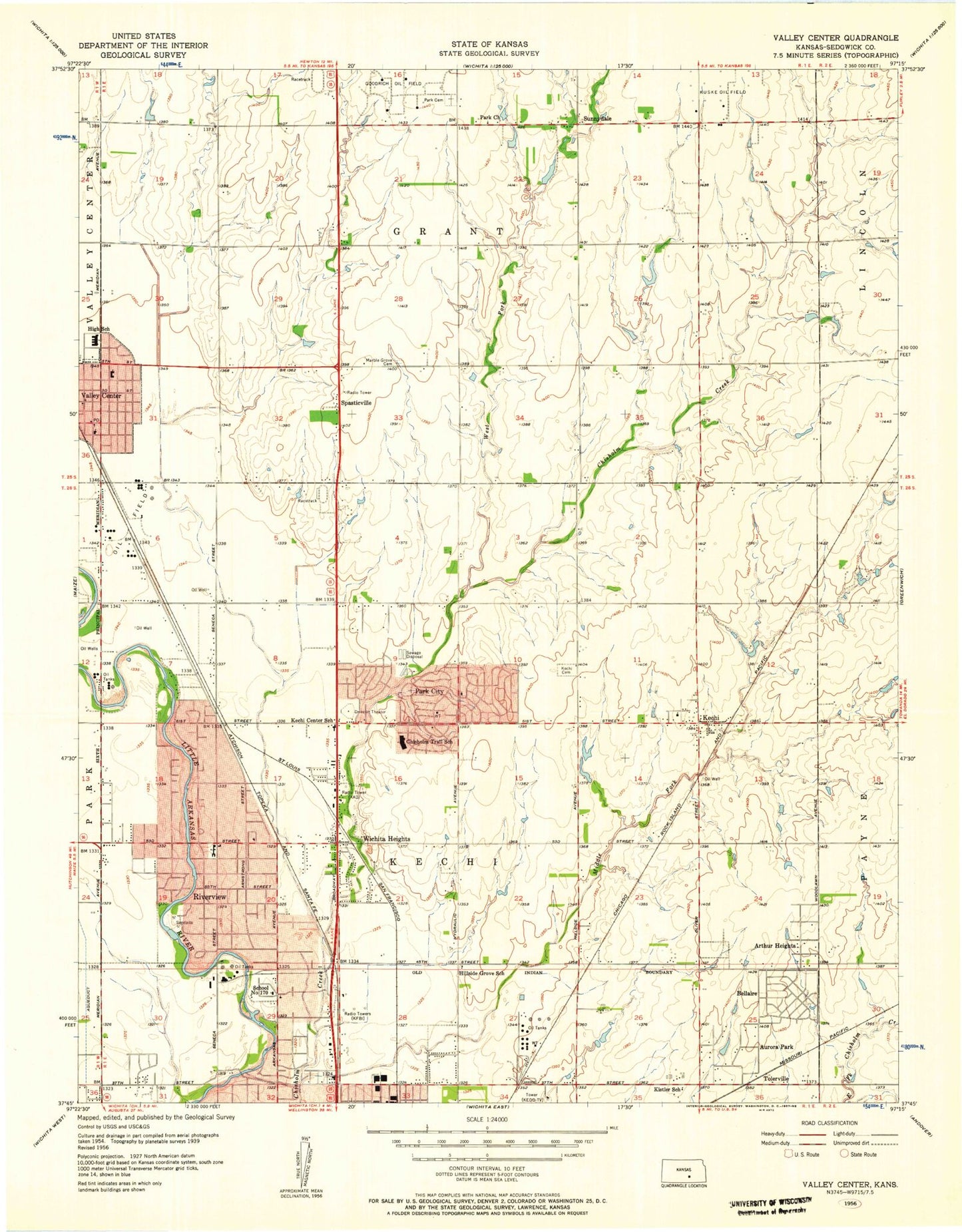
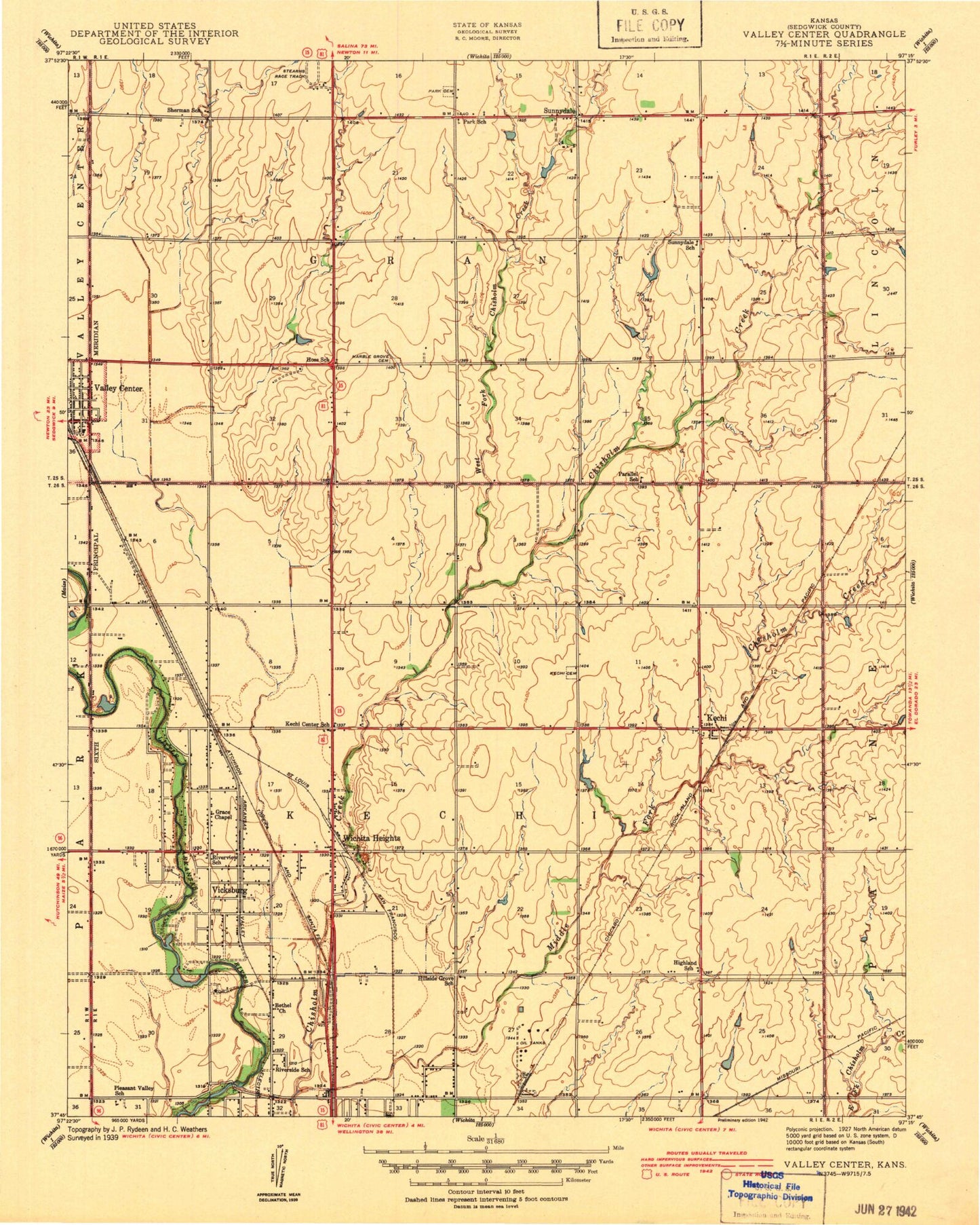
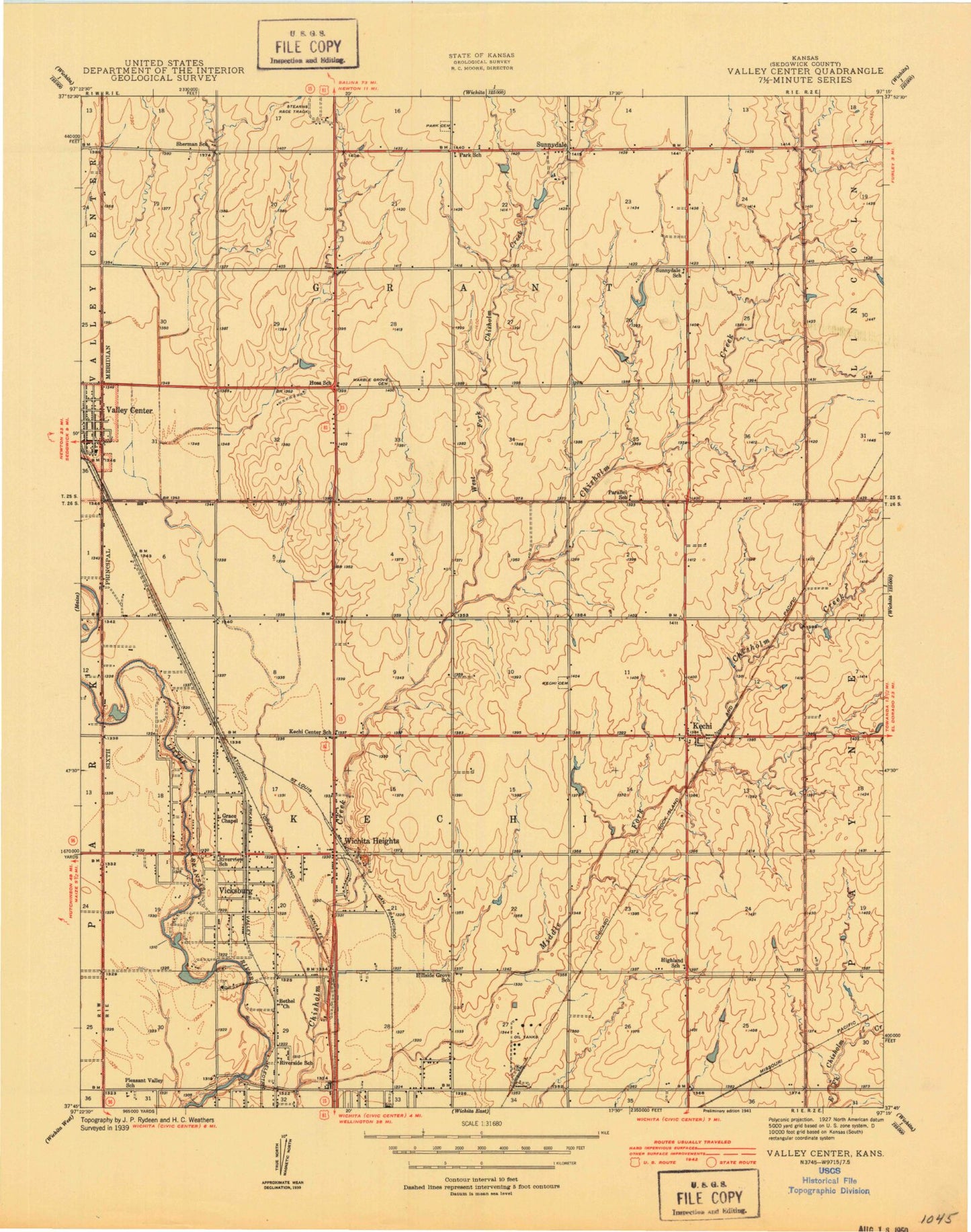
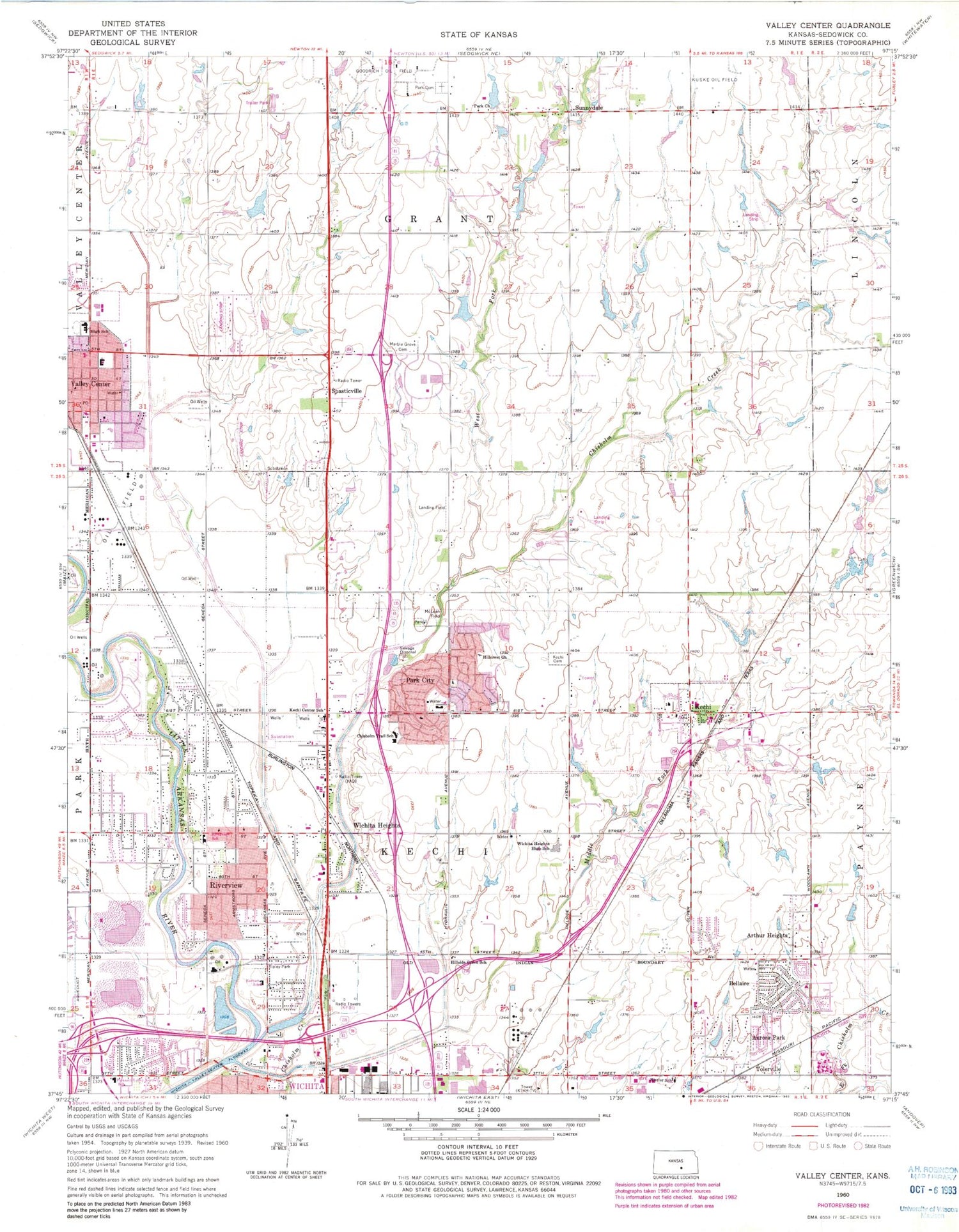
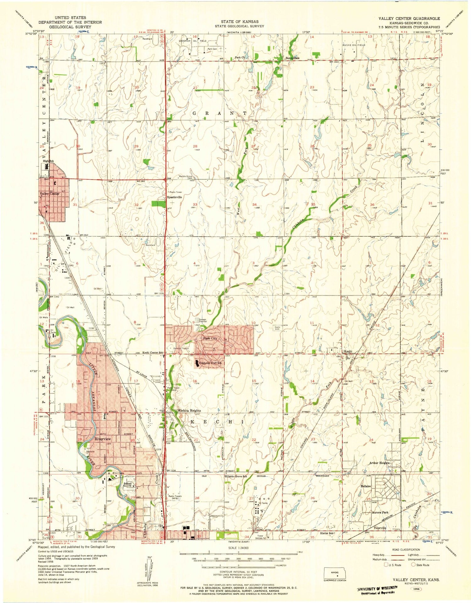
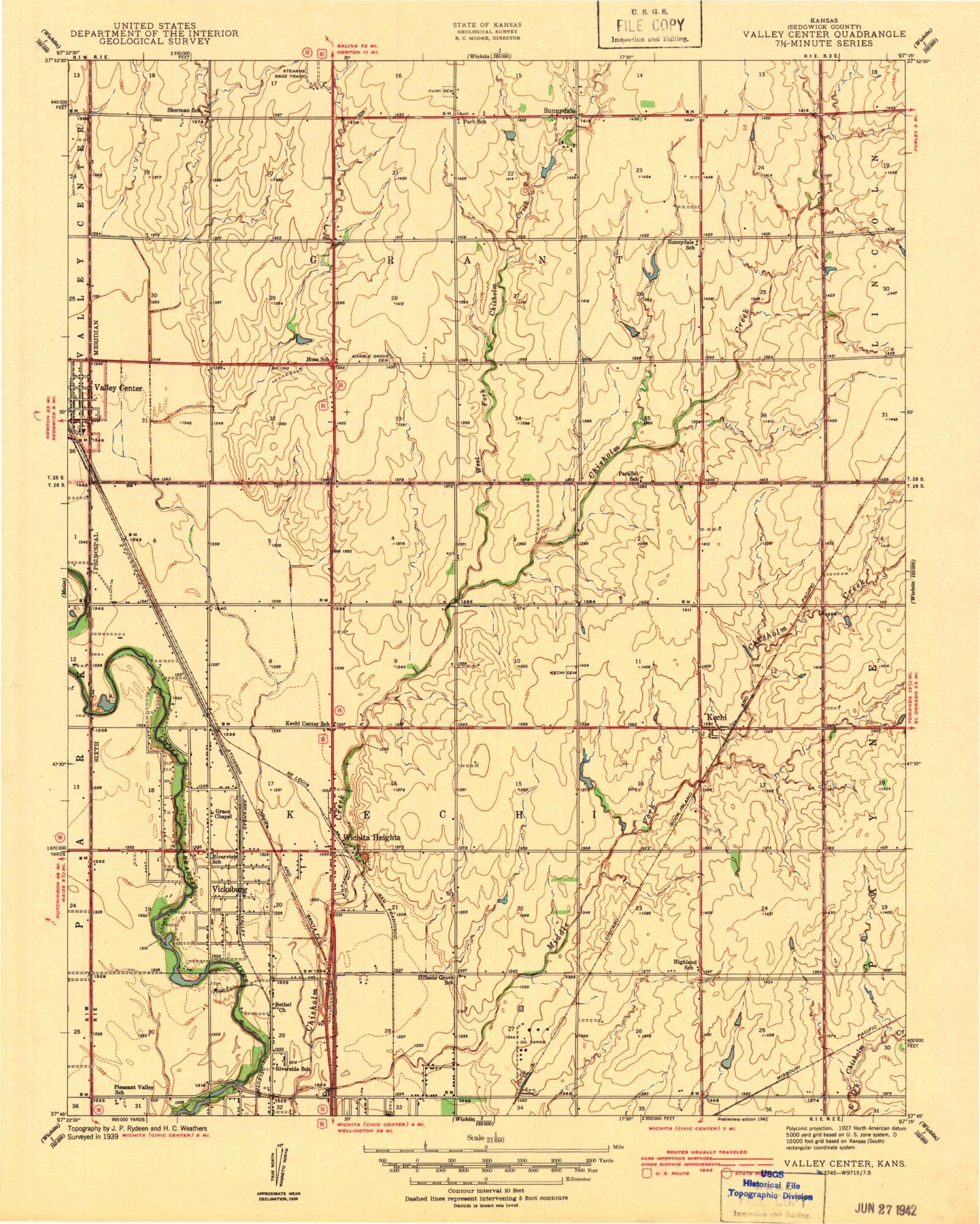
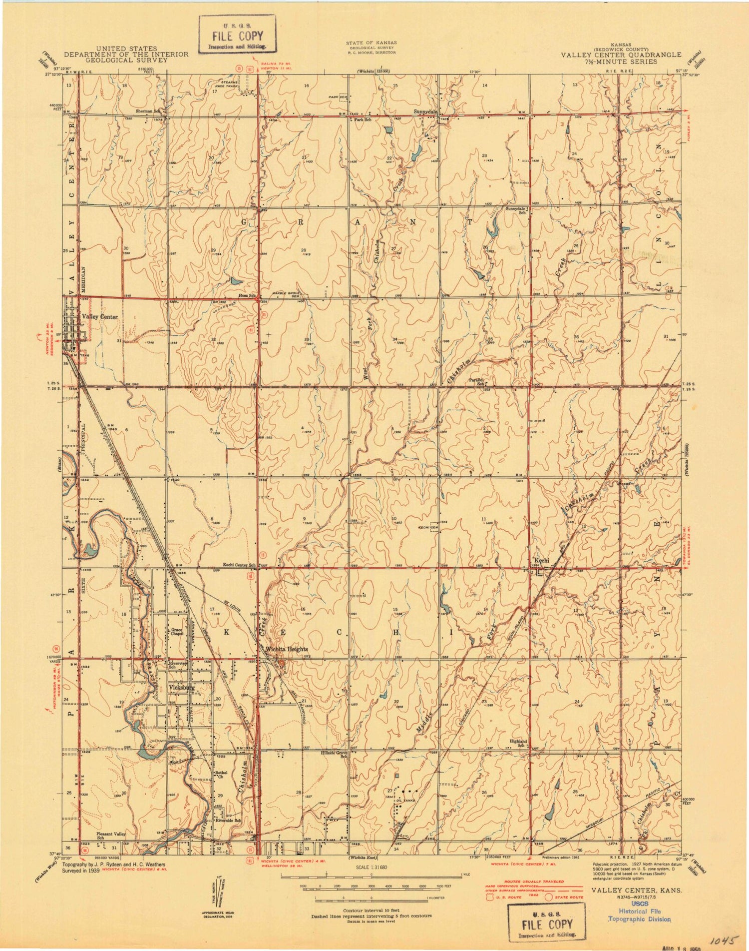
Historical USGS topographic quad map of Valley Center in the state of Kansas. Map scale may vary for some years, but is generally around 1:24,000. Print size is approximately 24" x 27"
This quadrangle is in the following counties: Sedgwick.
The map contains contour lines, roads, rivers, towns, and lakes. Printed on high-quality waterproof paper with UV fade-resistant inks, and shipped rolled.
Contains the following named places: Abilene Elementary School, Air Capitol Industrial Park, Arthur Heights, Ascension Cemetery, Aurora Park, Bel Aire Church of the Nazarene, Bel Aire Recreation Complex, Bellaire, Berwick Airport, Catholic Care Center Nursing Home, Chisholm Creek Manor Mobile Home Park, Chisholm Creek Utility Authority Wastewater Treatment Plant, Chisholm Trail Elementary School, Christ Lutheran Church, Church of the Resurrection, City of Kechi, City of Park City, City of Valley Center, Country Acres Mobile Home Park, Curtis Airport, Dahna Mobile Home Park, Davison Landing Field, Earhart Environmental Magnet Elementary School, Echo Hills Golf Club, Eighty One Speedway, Goodrich Oil Field, Grace Church of the Nazarene, Heights High School, Hidden Park Mobile Home Park, Hidden Valley Airport, High Point Airport, Hillcrest Church, Hillside Grove School, Isely Traditional Magnet Elementary School, Kansas Highway Patrol Troop F Butler, Kansas Highway Patrol Troop F Headquarters, Kechi, Kechi Center School, Kechi City Hall, Kechi Police Department, Kechi Post Office, Kechi Township Cemetery, Kechi United Methodist Church, Kechi Water Tower, KFDI-AM (Wichita), KFXJ - FM (Kechi), KICT-FM (Wichita), KMUW Radio Tower (Wichita), Koch Office Park, Maple Grove Cemetery, Mathis Mobile Home Park, McLean Field, Michener Elementary School, Middle Fork Chisholm Creek, Navajo Lake Estates Mobile Home Park, North Star Mobile Home Park, Northeast Congregation Jehovah's Witnesses, Northpoint Baptist Church, Northridge Industrial Park, Park Church, Park City, Park City Baptist Church, Park City Christian Church, Park City Church of the Nazarene, Park City Community Public Library, Park City Hall, Park City Industrial Park, Park City Municipal Court, Park City Police Department, Park City Senior Center, Randall Road Baptist Church, Resurrection Catholic School, Ripley Park, Riverlawn Christian Academy, Riverview, Riverview Baptist Church, Riverview Elementary School, Sedgwick County Emergency Medical Service Post 45, Sedgwick County Emergency Medical Service Post 8, Sedgwick County Fire District 1 Station 32, Sedgwick County Fire District 1 Station 37, Sedgwick County Park, Stucky Middle School, Sunnydale, Sunnydale Park Cemetery, Sunrise Christian Academy, The Valley Center Learning Center, Three Angels School, Tolerville, Town and Country Christian Church, Township of Grant, Township of Kechi, Trails View, Trails View Slough, Tree Top Nursery and Landscape Center, Valley Center, Valley Center Cemetery, Valley Center Christian Church, Valley Center City Hall, Valley Center Cultural and Historical Museum, Valley Center Fire Department, Valley Center High School, Valley Center Industrial Park, Valley Center Intermediate School, Valley Center Middle School, Valley Center Mobile Home Park, Valley Center Police Department, Valley Center Post Office, Wat Wichitaram Buddhist Temple, West Fork Chisholm Creek, Wichita Area Votech Truck Driver Training, Wichita Fire Department Station 13, Wichita Heights, Wichita Heights Baptist Church, Wichita Heights High School, Word of Life Preschool and Childcare Center North, Zion Outpost Church, ZIP Codes: 67067, 67147, 67204, 67219, 67220
