MyTopo
Classic USGS Valley Farms Arizona 7.5'x7.5' Topo Map
Regular price
$16.95
Regular price
Sale price
$16.95
Unit price
per
Couldn't load pickup availability
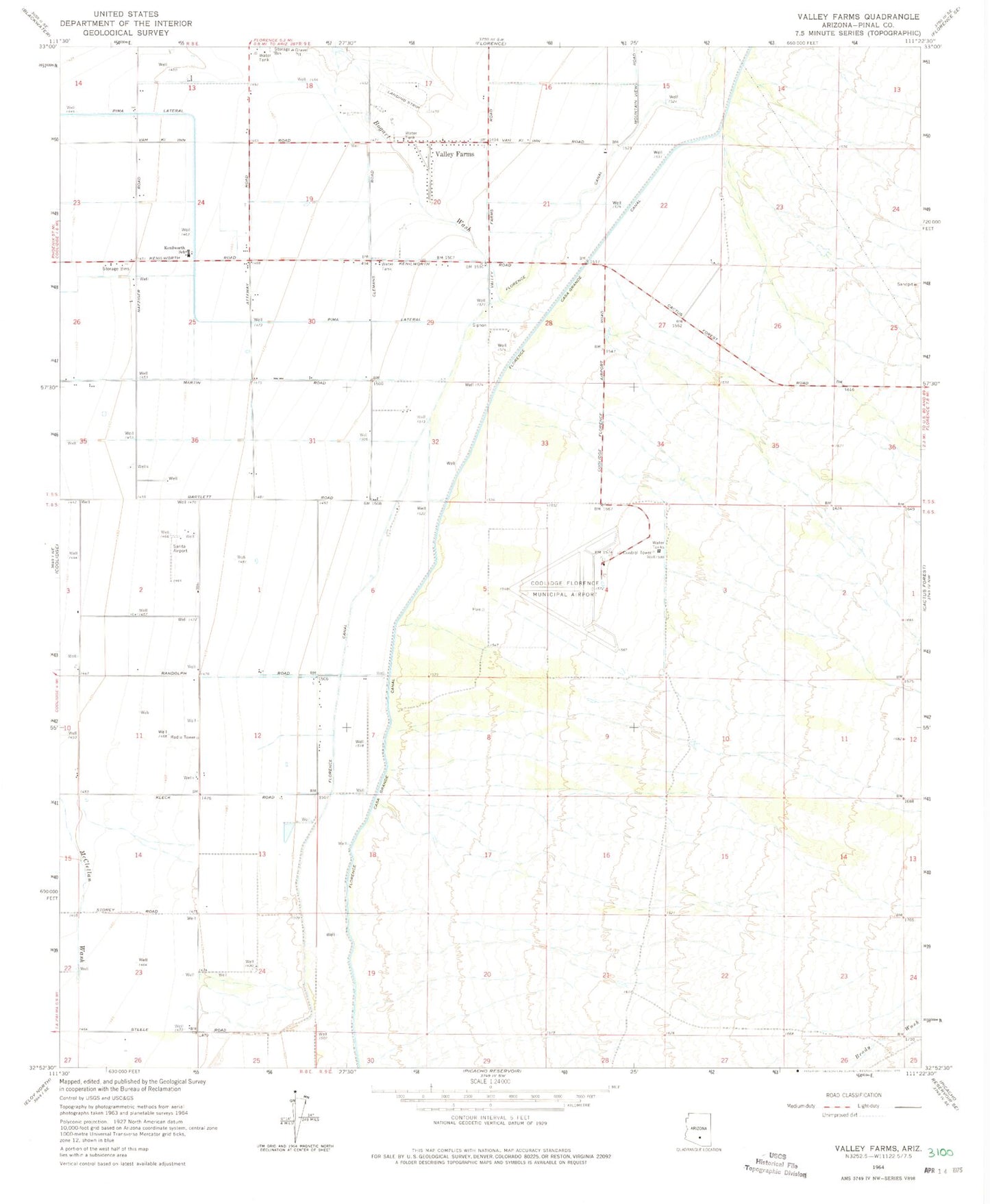
Historical USGS topographic quad map of Valley Farms in the state of Arizona. Map scale may vary for some years, but is generally around 1:24,000. Print size is approximately 24" x 27"
This quadrangle is in the following counties: Pinal.
The map contains contour lines, roads, rivers, towns, and lakes. Printed on high-quality waterproof paper with UV fade-resistant inks, and shipped rolled.
Contains the following named places: Coolidge Army Air Field, Coolidge Municipal Airport, Florence Canal, Florence Casa Grande Canal, Kenilworth School, Sarita Airport, Valley Farms, Valley Farms Airport, Valley Farms Post Office