MyTopo
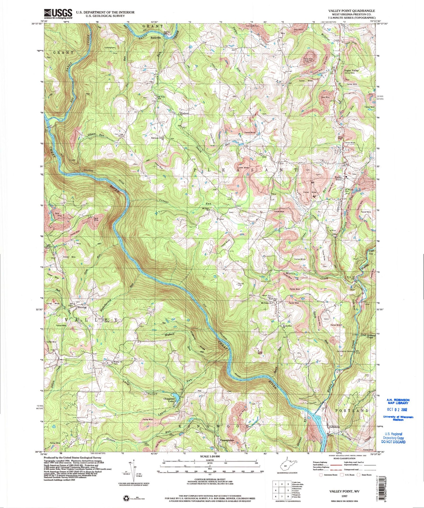
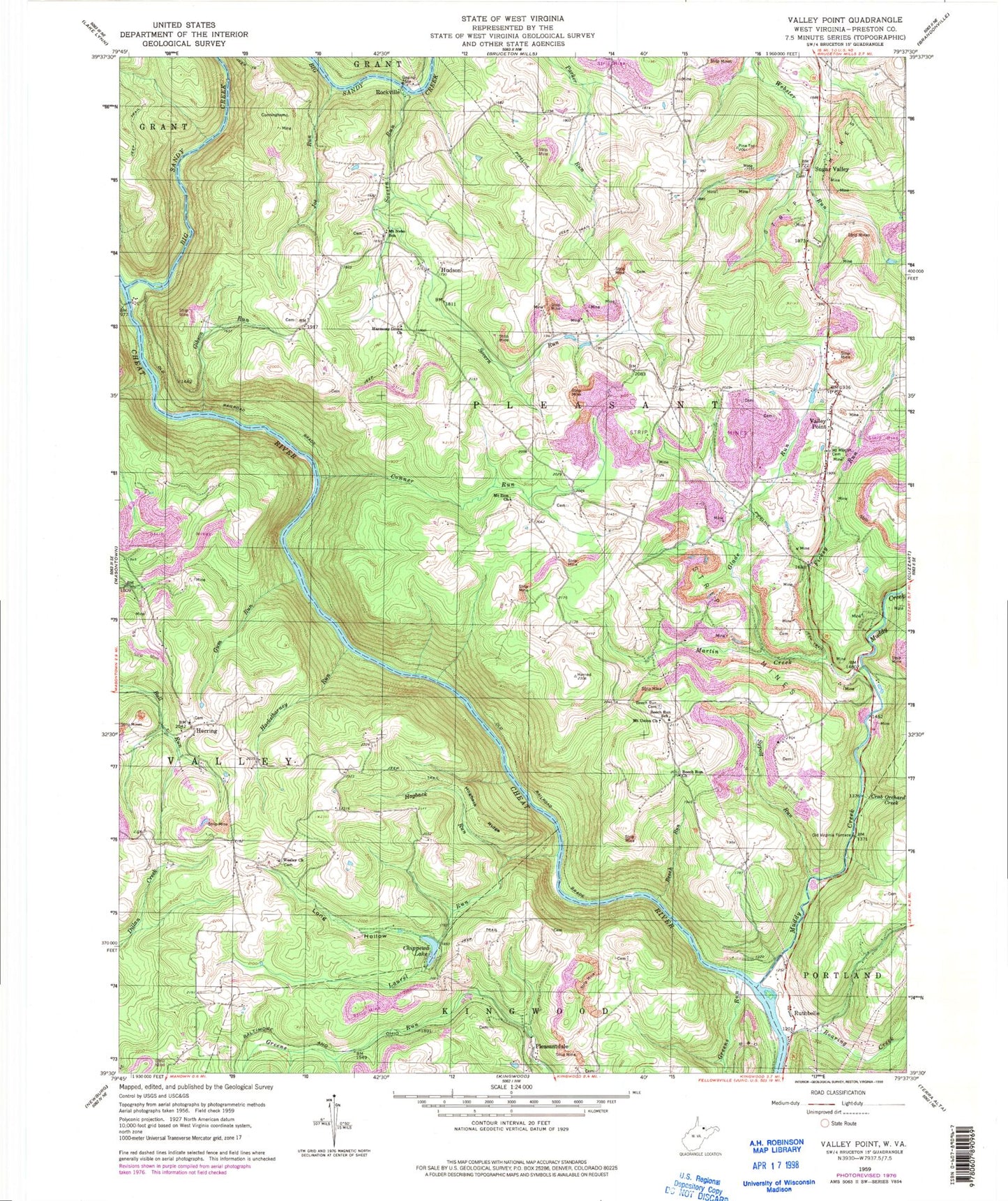
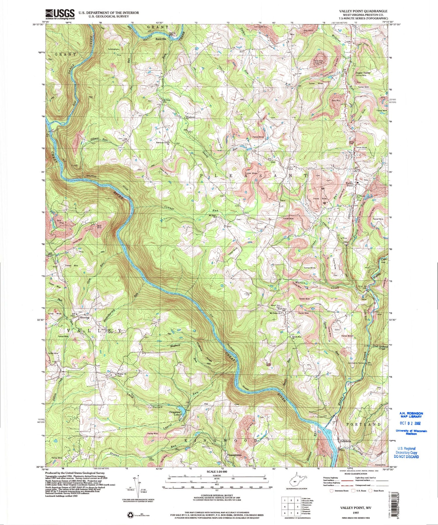
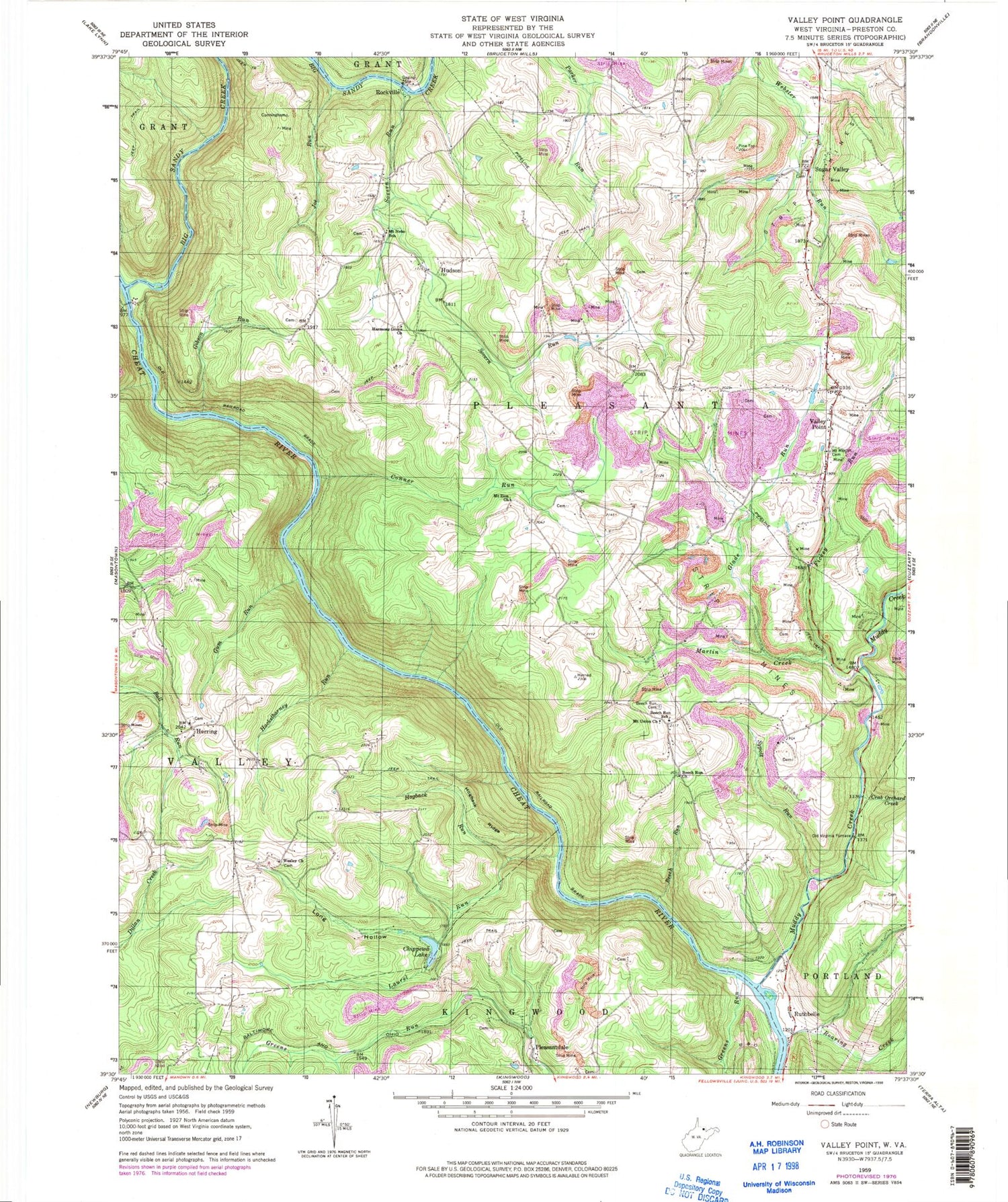
Classic USGS Valley Point West Virginia 7.5'x7.5' Topo Map
Couldn't load pickup availability
Historical USGS topographic quad map of Valley Point in the state of West Virginia. Typical map scale is 1:24,000, but may vary for certain years, if available. Print size: 24" x 27"
This quadrangle is in the following counties: Preston.
The map contains contour lines, roads, rivers, towns, and lakes. Printed on high-quality waterproof paper with UV fade-resistant inks, and shipped rolled.
Contains the following named places: Big Sandy Creek, Crab Orchard Run, Beech Run, Beech Run Cemetery, Beech Run United Methodist Church, Beech Run School (historical), Conner Run, Fickey Run, Gibson Run, Glade Run, Greens Run, Gum Run, Hackelbarney Run, Harmony Grove United Methodist Church, Hogback Ridge, Hogback Run, Joe Run, Laurel Run, Long Hollow, Martin Creek, Mount Moriah Cemetery, Mount Nebo School (historical), Mount Union Church, Mount Zion Church, Muddy Creek, Old Virginia Furnace, Roaring Creek, Sovern Run, Sugar Valley, Sypolt Run, Wesley Church, Herring, Hudson, Pleasantdale, Rockville, Ruthbelle, Valley Point, Beech Run, Cale School (historical), Deep Hollow School (historical), Glade Meadows School (historical), Hayden (historical), Elmer Smith, Elmer Smith, Mount Moriah United Methodist Church, Mount Nebo, Mount Nebo Baptist Church, Mount Zion School (historical), Pleasant Grove Baptist Church, Pleasant Valley School (historical), Pleasantdale United Methodist Church, Sugar Valley School (historical), Sugar Valley United Methodist Church, Sutherland (historical), Valley Point Pentecostal Church, Valley Point Airport, Chippewa Lake Dam, Chippewa Lake, First District, Pleasant District (historical), Rockville Truss Bridge


