MyTopo
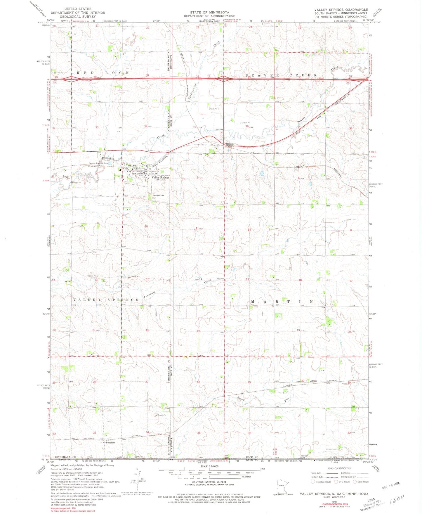
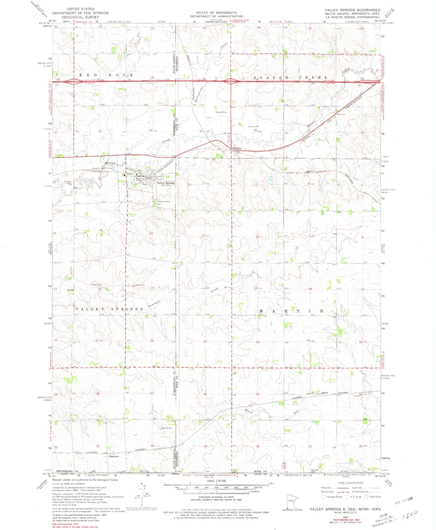
Classic USGS Valley Springs South Dakota 7.5'x7.5' Topo Map
Couldn't load pickup availability
Historical USGS topographic quad map of Valley Springs in the states of South Dakota, Minnesota. Map scale may vary for some years, but is generally around 1:24,000. Print size is approximately 24" x 27"
This quadrangle is in the following counties: Lyon, Minnehaha, Rock.
The map contains contour lines, roads, rivers, towns, and lakes. Printed on high-quality waterproof paper with UV fade-resistant inks, and shipped rolled.
Contains the following named places: Annie Anderson Creek, Benclare, Bruce, Bruce Post Office, City of Valley Springs, Manley, Manley Post Office, Nerison Cemetery, Pleasant View Cemetery, South Dakota Highway Patrol - Sioux Falls Port of Entry, Springwater Creek, Township of Valley Springs, Valley Springs, Valley Springs Branch Library, Valley Springs City Hall, Valley Springs Elementary School, Valley Springs Fire Department, Valley Springs Post Office, ZIP Codes: 56116, 56138, 57068