MyTopo
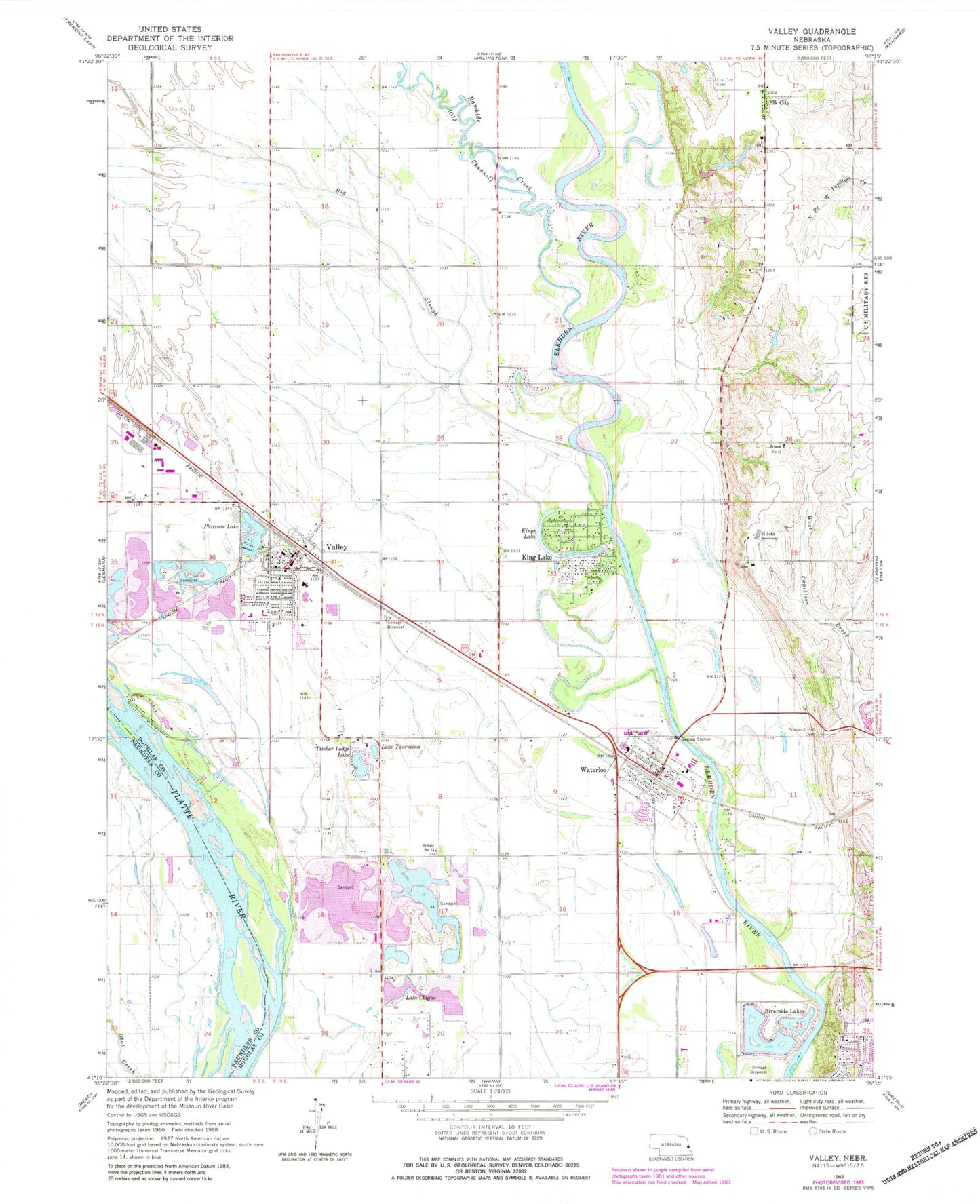
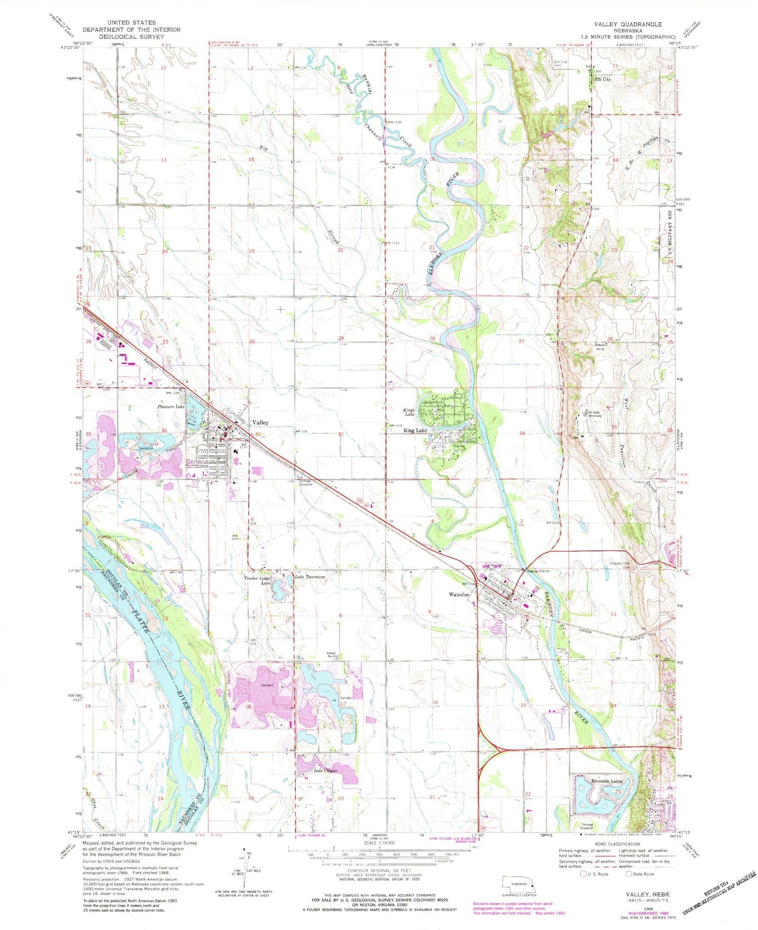
Classic USGS Valley Nebraska 7.5'x7.5' Topo Map
Couldn't load pickup availability
Historical USGS topographic quad map of Valley in the state of Nebraska. Map scale may vary for some years, but is generally around 1:24,000. Print size is approximately 24" x 27"
This quadrangle is in the following counties: Douglas, Saunders.
The map contains contour lines, roads, rivers, towns, and lakes. Printed on high-quality waterproof paper with UV fade-resistant inks, and shipped rolled.
Contains the following named places: 3M Valley Emergency Medical Services, 68022, 68064, Baptist Presbyterian Church, Bethel Baptist Church, Big Slough, C and K Mobile Home Park, Church of Christ, Circle Lane School, City of Elkhorn, City of Valley, Douglas County West Elementary School, Douglas County West High School, Douglas County West Middle School, Elk City, Elk City Cemetery, Elk City Post Office, Elk City School, Fairview Public School, Faith United Methodist Parish, First United Methodist Church, King Lake, King Lake Census Designated Place, King Lake School, Kings Lake, Lake Clagus, Lake Taormina, Physicians Clinic, Platte Valley Election Precinct, Pleasure Lake, Primrose Post Office, Prospect Hill Cemetery, Rawhide Creek, Riverside Lakes, Rogert Airstrip, Saint John Seminary, Saint John the Evangelist Catholic Church, Saint Marks Lutheran Church, The Pines Country Club, Timber Lodge Lake, Valhaven Nursing Center, Valley, Valley Fire and Rescue Department and Civil Defense Heliport, Valley Fire Department, Valley Historical Museum, Valley Post Office, Valley Public Library, Valmont Emergency Rescue, Village of Waterloo, Waterloo, Waterloo Election Precinct, Waterloo Library, Waterloo Police Station, Waterloo Post Office, Waterloo Volunteer Rescue and Fire Department


