MyTopo
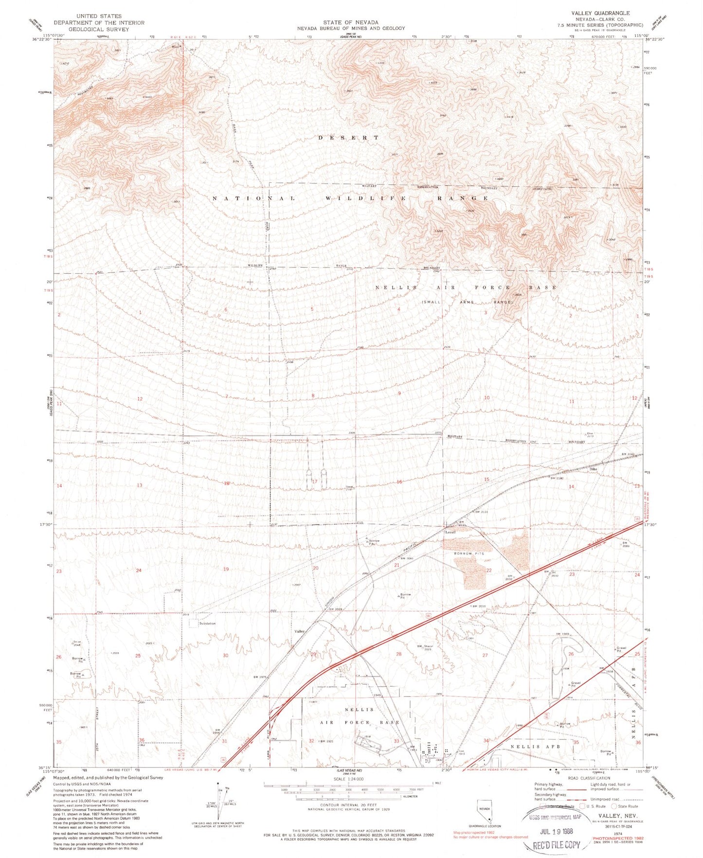
Classic USGS Valley Nevada 7.5'x7.5' Topo Map
Couldn't load pickup availability
Historical USGS topographic quad map of Valley in the state of Nevada. Map scale may vary for some years, but is generally around 1:24,000. Print size is approximately 24" x 27"
This quadrangle is in the following counties: Clark.
The map contains contour lines, roads, rivers, towns, and lakes. Printed on high-quality waterproof paper with UV fade-resistant inks, and shipped rolled.
Contains the following named places: City of North Las Vegas, Department of Veterans Affairs Southern Nevada Healthcare System - North Las Vegas Medical Center, Dike, Florence McClure Women's Correctional Center, John Tartan Elementary School, Jungletown, KLUC-AM (North Las Vegas), Las Vegas Motor Speedway, Lovell, North Las Vegas Fire Department Station 57, Summit View Correctional Center, Valley, ZIP Codes: 89081, 89086, 89115