MyTopo
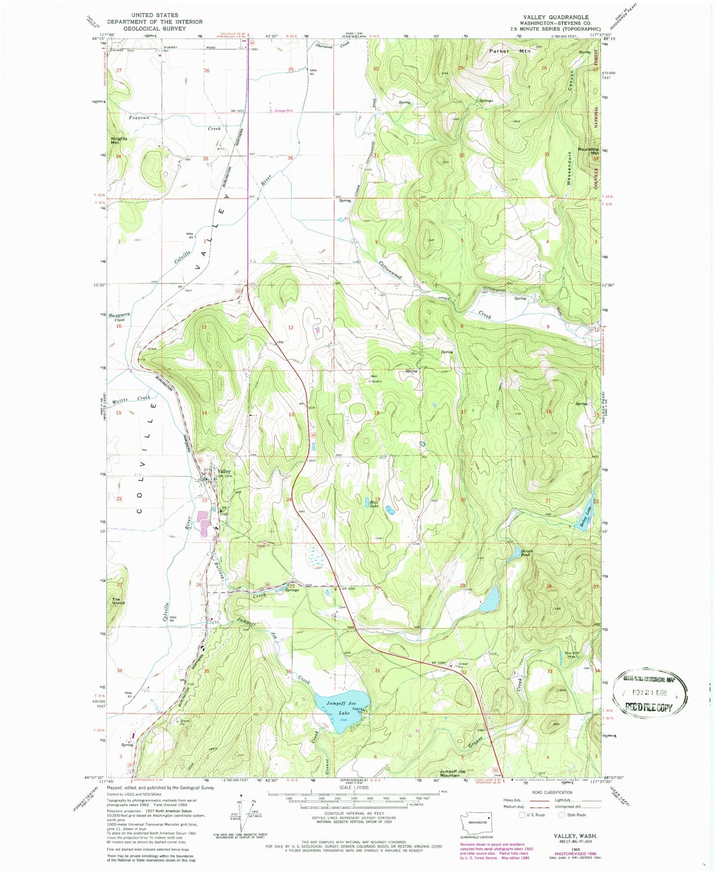
Classic USGS Valley Washington 7.5'x7.5' Topo Map
Couldn't load pickup availability
Historical USGS topographic quad map of Valley in the state of Washington. Map scale may vary for some years, but is generally around 1:24,000. Print size is approximately 24" x 27"
This quadrangle is in the following counties: Stevens.
The map contains contour lines, roads, rivers, towns, and lakes. Printed on high-quality waterproof paper with UV fade-resistant inks, and shipped rolled.
Contains the following named places: Beitey Lake, Beitey Lake Dam, Blue Bird Mine, Blue Lake, Bulldog Creek, Cottonwood Creek, Fool Prairie, Franzwa Creek, Grouse Creek, Hirsch Pond, Holy Ghost Catholic Church, Huckleberry Creek, Inklers Point, Jumpoff Jim Lake, Jumpoff Jim Lake Dam, Jumpoff Joe Creek, Jumpoff Joe Lake, Kulzer, Pinegrove Mennonite Church, Sherwood Creek, Stevens County Fire District 4 Station 41- Valley, Valley, Valley Bible Church, Valley Census Designated Place, Valley Elementary School, Valley Post Office, Valley School, Waitts Creek, Wessendorf Canyon