MyTopo
Classic USGS Valton Wisconsin 7.5'x7.5' Topo Map
Couldn't load pickup availability
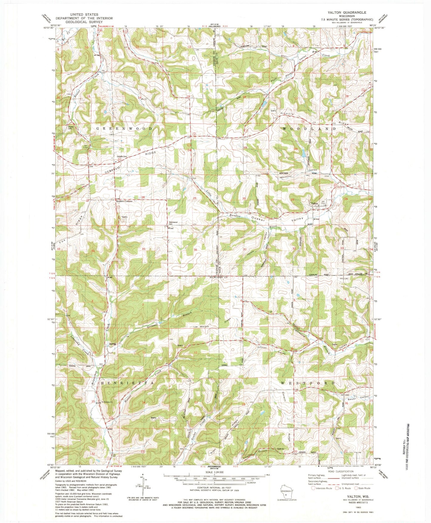
Historical USGS topographic quad map of Valton in the state of Wisconsin. Map scale may vary for some years, but is generally around 1:24,000. Print size is approximately 24" x 27"
This quadrangle is in the following counties: Richland, Sauk, Vernon.
The map contains contour lines, roads, rivers, towns, and lakes. Printed on high-quality waterproof paper with UV fade-resistant inks, and shipped rolled.
Contains the following named places: 0.5 Reservoir, Benders Corners, Big Spring Stock and Dairy Farm, Cold Spring Farm, Corwin, Corwin Ridge, County Corners School, Debello Cemetery, Debello Ridge, Echo Glen Stock Farm, Edgewood Farm, Fern Dale Farm, Fox Ridge, Green Valley Stock Farm, Greenwood Cemetery, Grimes Valley, Grinsell Branch, Hanzel Creek, Hickory Ridge, Jones Valley, Keystone Stock Farm, Lebansky Creek, Maple Grove Farm, Maple View Stock Farm, Marble Ridge, Mortimer Valley, Northwood Airstrip, Pleasant Place, Polk 3SD78806 Dam, Ryan Ridge, Saint Patricks Church, Saint Patricks Melancthon Creek Cemetery, Satterlee G5136 Dam, School Number 4, School Number 6, Shreve Cemetery, Silver Maple Farm, Slaney Home Stock Farm, Spring Brook Stock and Dairy Farm, Spring Falls Dairy Farm, Town of Greenwood, Town of Henrietta, Town of Westford, Town of Woodland, Valton, Willowdale Stock and Dairy Farm, Wood


