MyTopo
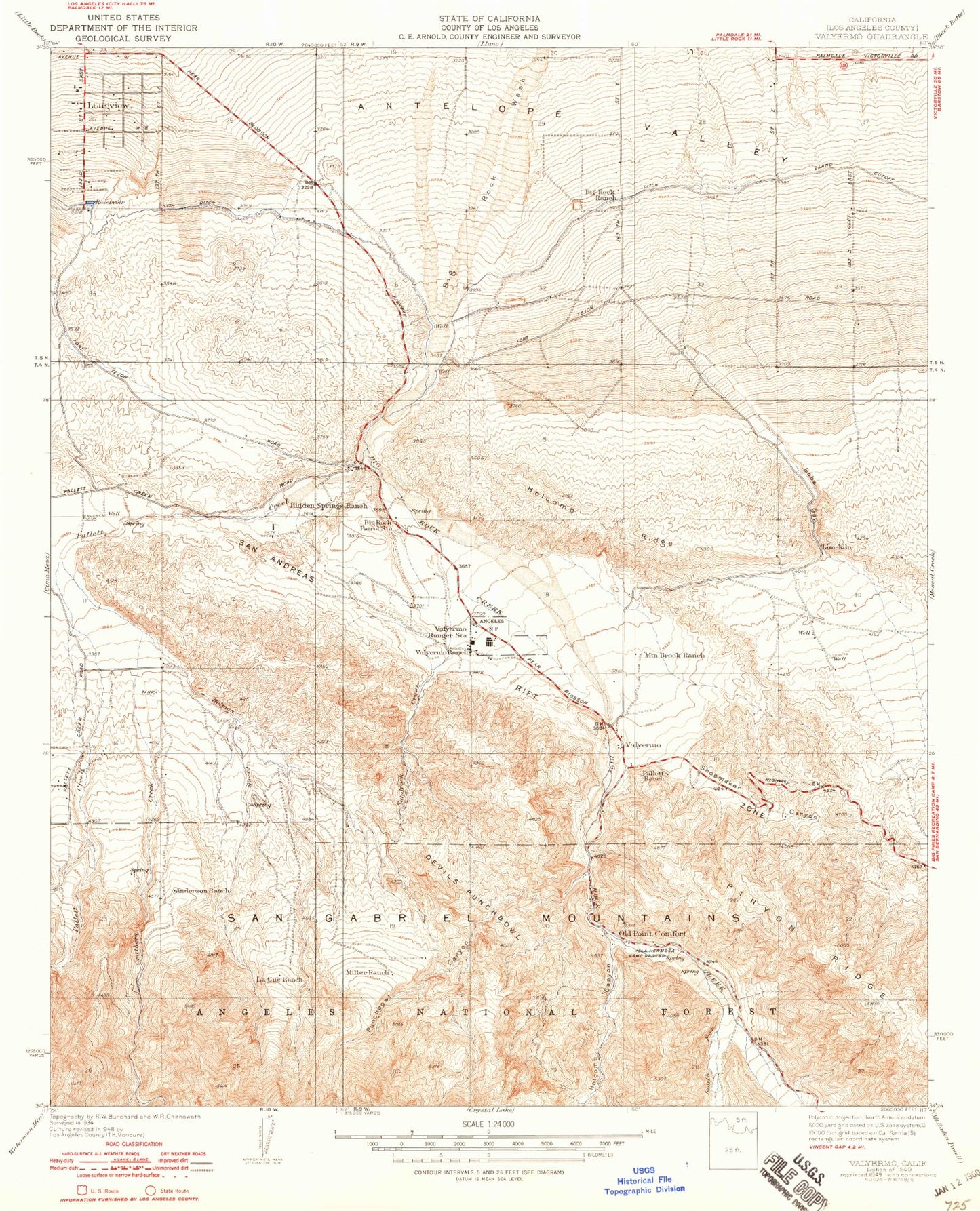
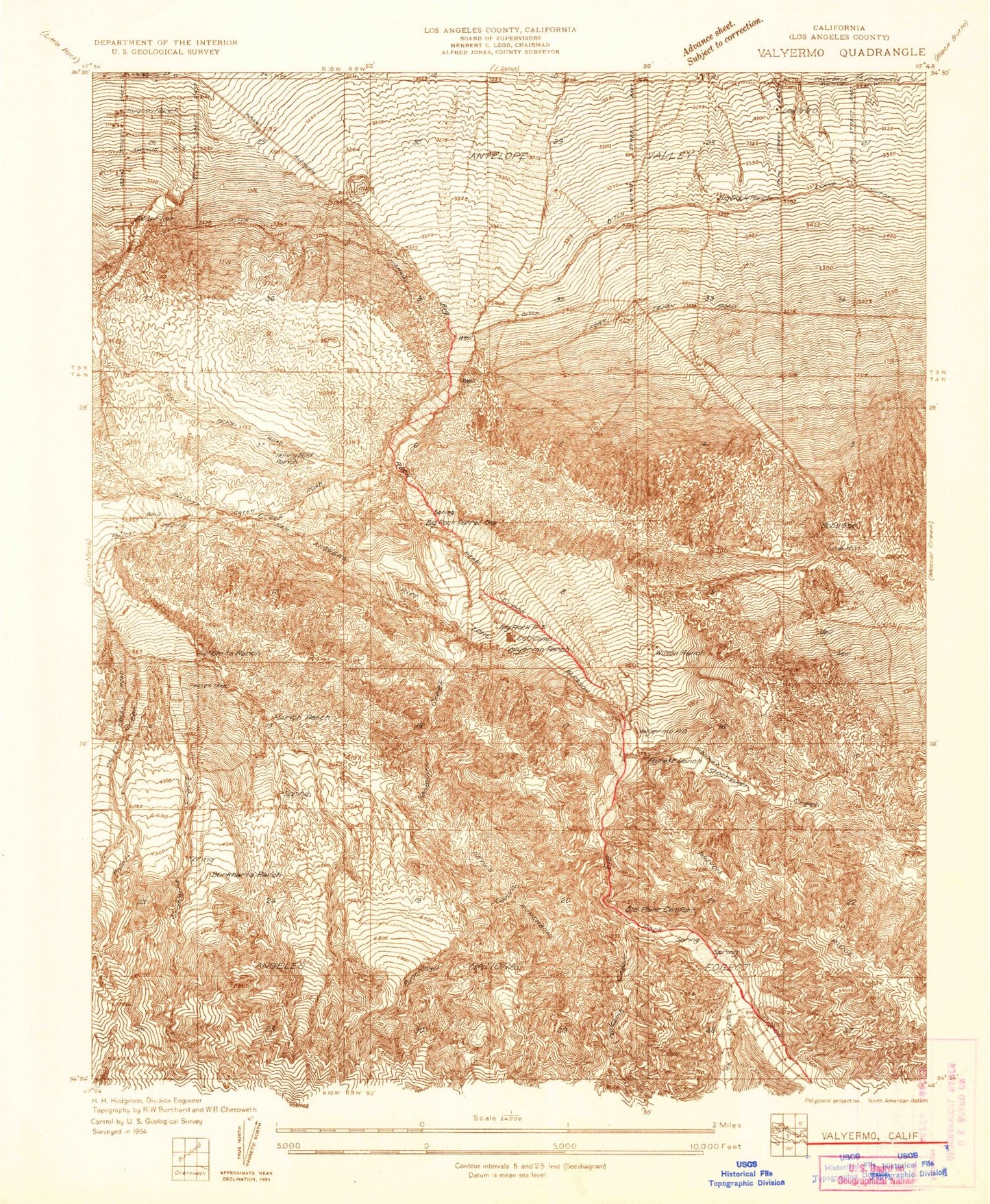
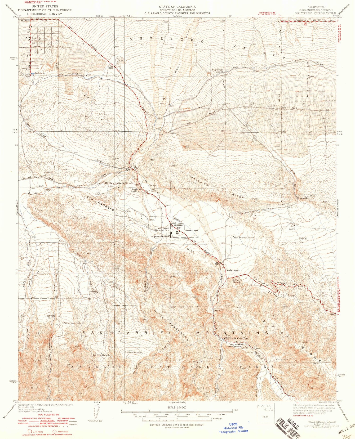
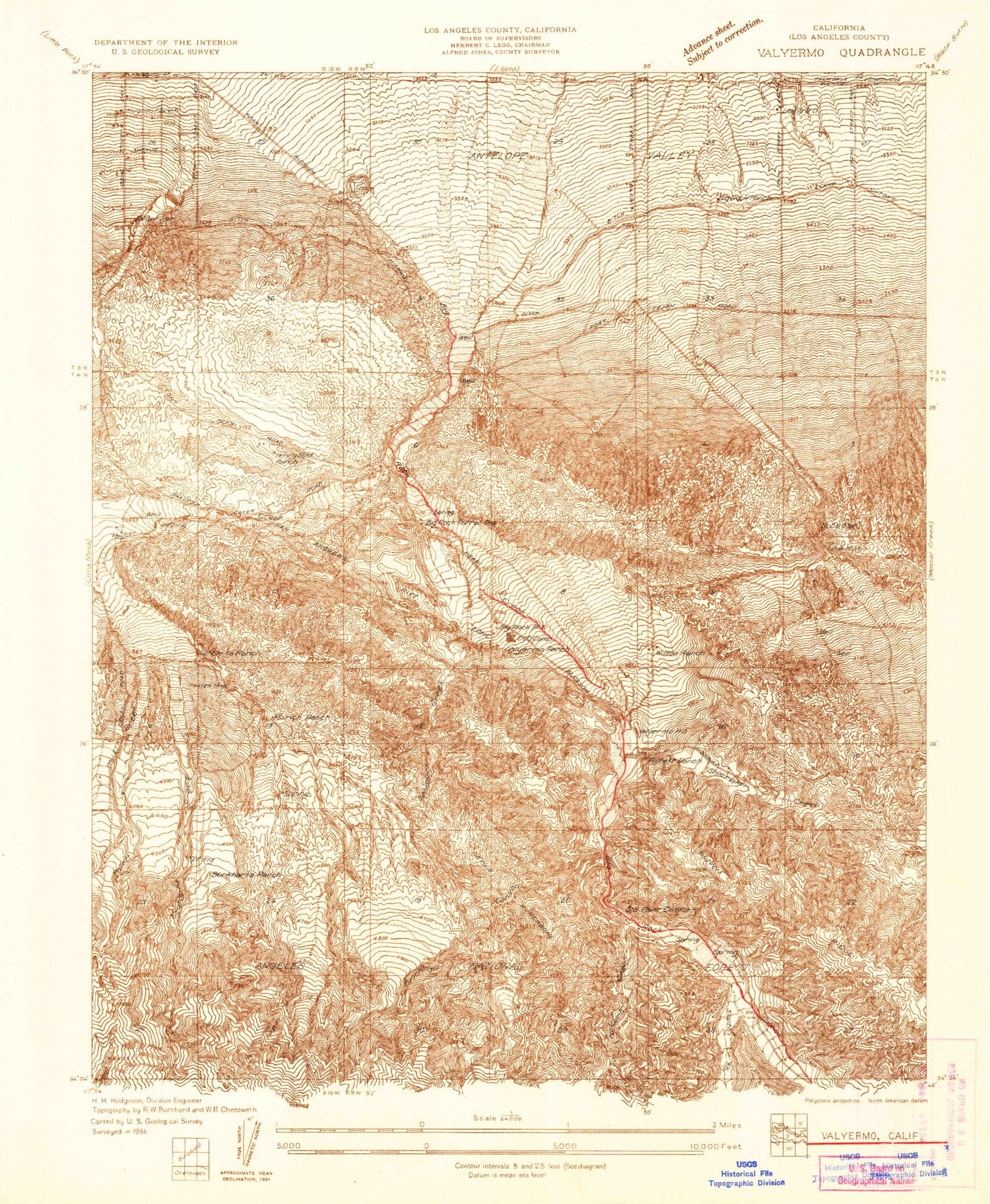
Classic USGS Valyermo California 7.5'x7.5' Topo Map
Couldn't load pickup availability
Historical USGS topographic quad map of Valyermo in the state of California. Typical map scale is 1:24,000, but may vary for certain years, if available. Print size: 24" x 27"
This quadrangle is in the following counties: Los Angeles.
The map contains contour lines, roads, rivers, towns, and lakes. Printed on high-quality waterproof paper with UV fade-resistant inks, and shipped rolled.
Contains the following named places: Big Rock Ranch, Big Rock Siphon, Bobs Gap, Devils Punchbowl, Holcomb Canyon, Holcomb Ridge, McFarland Ranch, Mountain Brook Ranch, Pallett Creek, Punchbowl Canyon, Saint Andrews Abbey, Sandrock Creek, Shoemaker Canyon, South Fork Big Rock Creek, Sycamore Flat Campground, Valyermo Ranch, Big Rock Springs, Big Rock Creek, Cruthers Creek, Fort Tejon Siphon, Holmes Creek, Pechner Canyon, Watkins Creek, Punchbowl Trail, United States Forest Service Angeles National Forest Station Valyermo, Crystal Airport, Crystalaire Country Club, Devils Chair, Old Point Comfort, Sandrocks, Valyermo, Aldrich Ranch (historical), Big Rock Patrol Station (historical), Burkhart Ranch, Cobbleita Ranch, Devils Punchbowl County Park, East Ranch, Longview, Pallett Ranch, Valyermo Ranger Station, Country Mobile Estates, Valyermo Post Office


