MyTopo
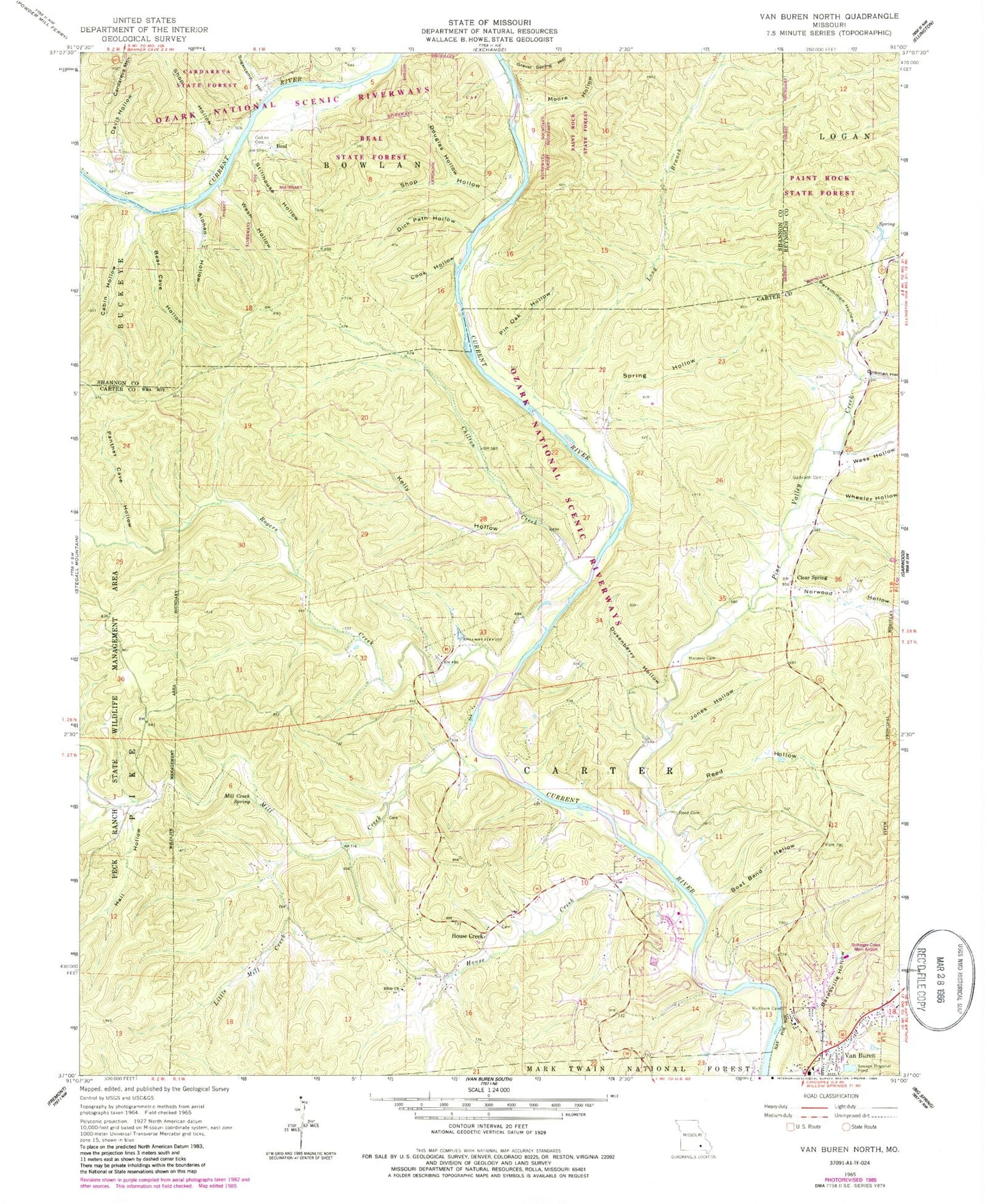
Classic USGS Van Buren North Missouri 7.5'x7.5' Topo Map
Couldn't load pickup availability
Historical USGS topographic quad map of Van Buren North in the state of Missouri. Typical map scale is 1:24,000, but may vary for certain years, if available. Print size: 24" x 27"
This quadrangle is in the following counties: Carter, Reynolds, Shannon.
The map contains contour lines, roads, rivers, towns, and lakes. Printed on high-quality waterproof paper with UV fade-resistant inks, and shipped rolled.
Contains the following named places: Alphen Hollow, Barnsville Hollow, Bear Cave Hollow, Bible Church, Boat Bend Hollow, Cabin Hollow, Chilton Creek, Clear Spring, Coleman Hollow, Collins Cemetery, Cook Hollow, Davis Hollow, Dick Path Hollow, Douglas Hollow, Dusenberry Hollow, Galbraith Cemetery, Gravel Spring Hollow, House Creek, Jones Hollow, Kelly Hollow, Little Mill Creek, Long Branch, Maberry Cemetery, Mill Creek Spring, Moore Hollow, Muddy Branch, Norwood Hollow, Panther Cave Hollow, Persimmon Hollow, Pin Oak Hollow, Pine Valley Creek, Reed Cemetery, Reed Hollow, Shop Hollow, Shop Hollow, Spring Hollow, Stillhouse Hollow, Sugarcamp Hollow, Wash Hollow, Wess Hollow, Wheeler Hollow, A Quiet Pool, Watermelon Shoal, Waymeyer Chute, Easy Street, Boat Bend, Shote Hole, Bass Rock, Beal, Logyard Campsite, Beal Landing, Chilton Creek Campsite, Mill Creek Campsite, Logyard River Access, Chilton Creek River Access, Cardareva State Forest, Beal State Forest, Paint Rock State Forest, Black Ford (historical), Eaton Ford (historical), Rogers Creek School, Clear Spring School, House Creek School, Big Caney Hollow, Hail Hollow, House Creek, Johnson Hollow, Mill Creek, Rogers Creek, Strong Hollow, Watercrest Spring Camp and Picnic Area, Watercress Spring Camp, Watercress Spring Picnic Grounds, Bollinger-Crass Memorial Airport, Neil Land Development Corporation North Dam, Deer Run Lake, Neil Land Development Corporation South Dam, Neil Land Development Corporation Lake, Township of Carter, Town of Van Buren, Van Buren Volunteer Fire Department, Houses Creek Cemetery, Van Buren Police Department


