MyTopo
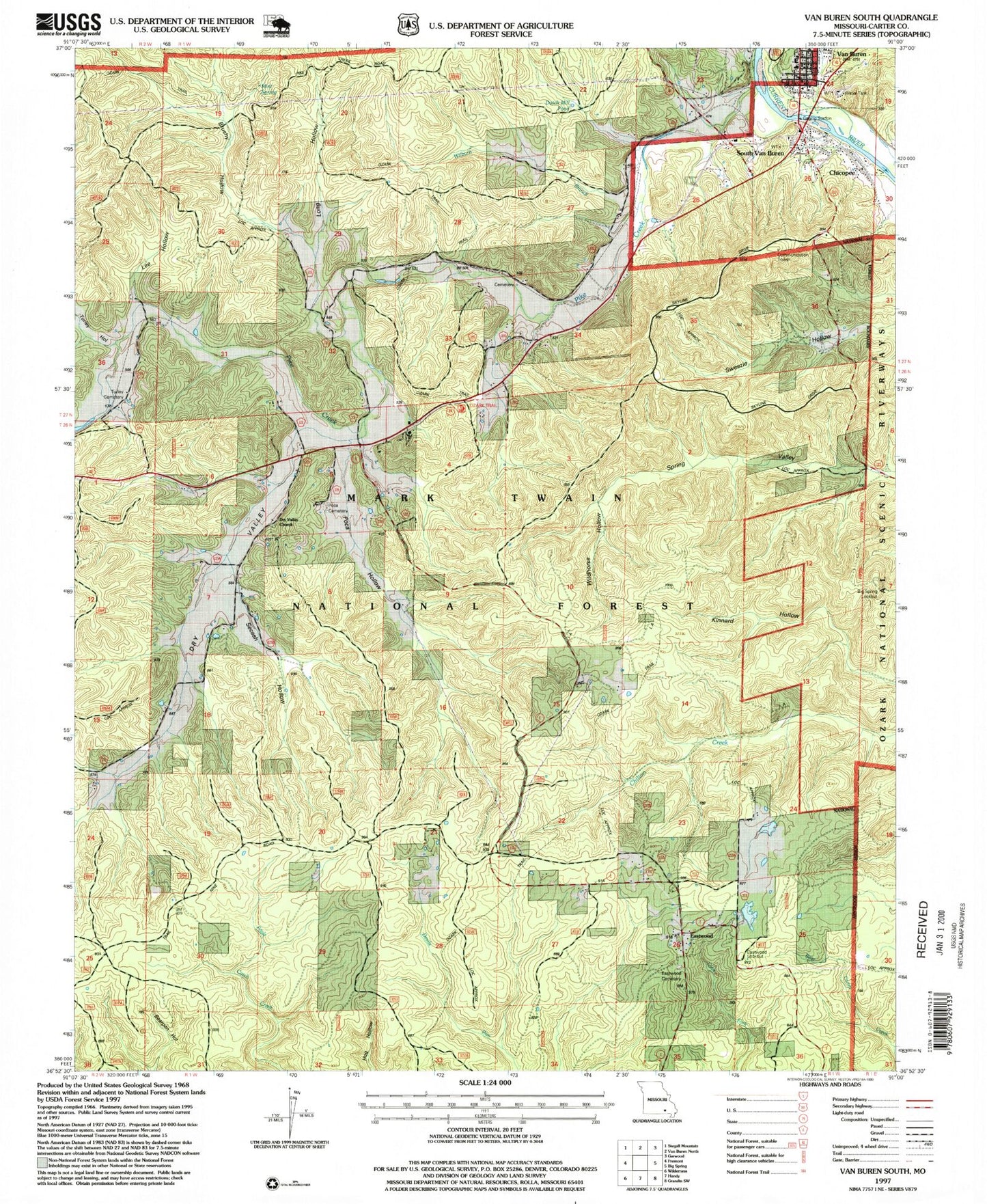
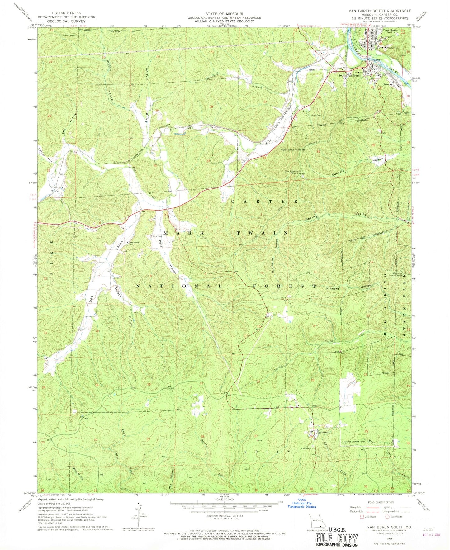
Classic USGS Van Buren South Missouri 7.5'x7.5' Topo Map
Couldn't load pickup availability
Historical USGS topographic quad map of Van Buren South in the state of Missouri. Typical map scale is 1:24,000, but may vary for certain years, if available. Print size: 24" x 27"
This quadrangle is in the following counties: Carter.
The map contains contour lines, roads, rivers, towns, and lakes. Printed on high-quality waterproof paper with UV fade-resistant inks, and shipped rolled.
Contains the following named places: South Van Buren, Mint Spring, Cummings (historical), Dry Valley School (historical), Kinnard School (historical), Blue Ridge Corral Picnic Area, Brushy Hollow, Chicopee, Dry Valley, Dry Valley Church, Eastwood, Eastwood Cemetery, Lee Hollow, Long Hollow, Pike Creek, Poca Hollow Cemetery, Poca Hollow, Secesh Hollow, Turley Cemetery, Turley Hollow, Van Buren, Walker Hollow, Wilburn Branch, Wildhorse Hollow, Tie Broom Stretch, Ozark Trail Trialhead, Wayside Carter, Big Spring Lookout Tower, Eagle Lookout Tower, Eastwood Lookout Tower, Township of Kelly, Ozark National Scenic River Fire Cache, Missouri Department of Conservation Forestry Ozark Regional Field Fire Office Van Buren, Eastwood Fire Protection District, Carter County Sheriff's Office, Van Buren Post Office


