MyTopo
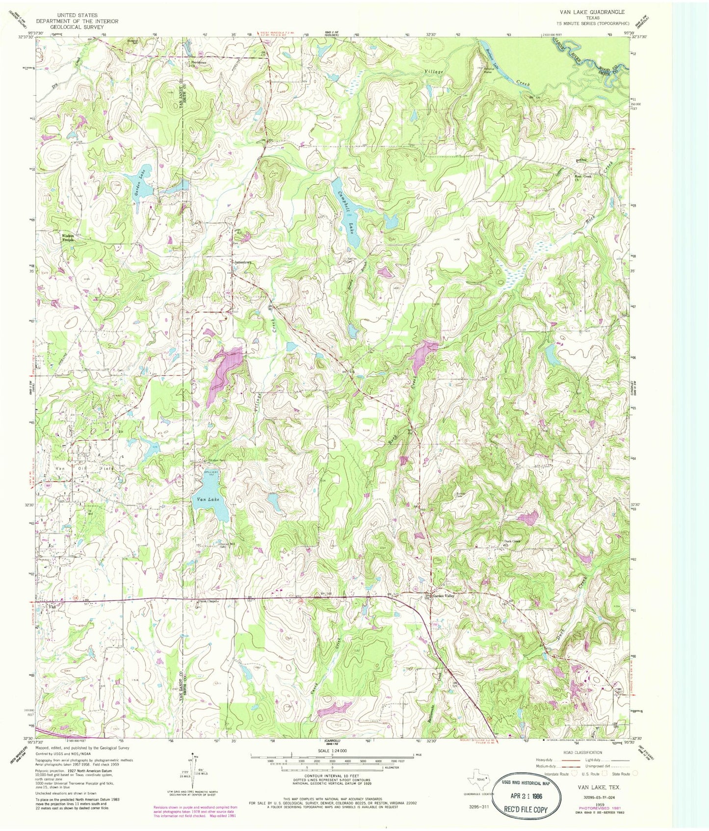
Classic USGS Van Lake Texas 7.5'x7.5' Topo Map
Couldn't load pickup availability
Historical USGS topographic quad map of Van Lake in the state of Texas. Map scale may vary for some years, but is generally around 1:24,000. Print size is approximately 24" x 27"
This quadrangle is in the following counties: Smith, Van Zandt, Wood.
The map contains contour lines, roads, rivers, towns, and lakes. Printed on high-quality waterproof paper with UV fade-resistant inks, and shipped rolled.
Contains the following named places: Bearfield Branch, Bowman Cemetery, Brushy Branch, Bunkley Cemetery, Burleson Lake, Campbell Dam, Campbell Lake, Coppers Branch, Dickerson Cemetery, Duck Creek Church, Fairbanks Branch Library, Garden Lake, Garden Lake Dam, Garden Valley, Holiday Pines Dam, Holiday Pines Lake, Jamestown, Marsh Lake, Marsh Lake Dam, Miller Lake, Miller Lake Dam, Mosley Lake, Mosley Lake Dam, Niblack Branch, Providence Church, Reeves Lake, Reeves Lake Dam, Reynolds Lake, Reynolds Lake Dam, Rock Creek Church, Saint Mary Baptist Church, Sandy Creek Dam, Sky Lake, Union Chapel, Valley Club Lake, Valley Club Lake Dam, Van Lake, Van Lake Dam, Village Creek, Wisdom Temple, World Challenge Lake Number 1, World Challenge Lake Number 1 Dam, World Challenge Lake Number 2, World Challenge Lake Number 2 Dam, World Challenge Lake Number 3, World Challenge Lake Number 3 Dam, World Challenge Lake Number 4, World Challenge Lake Number 4 Dam, World Challenge Lake Number 5, World Challenge Lake Number 5 Dam


