MyTopo
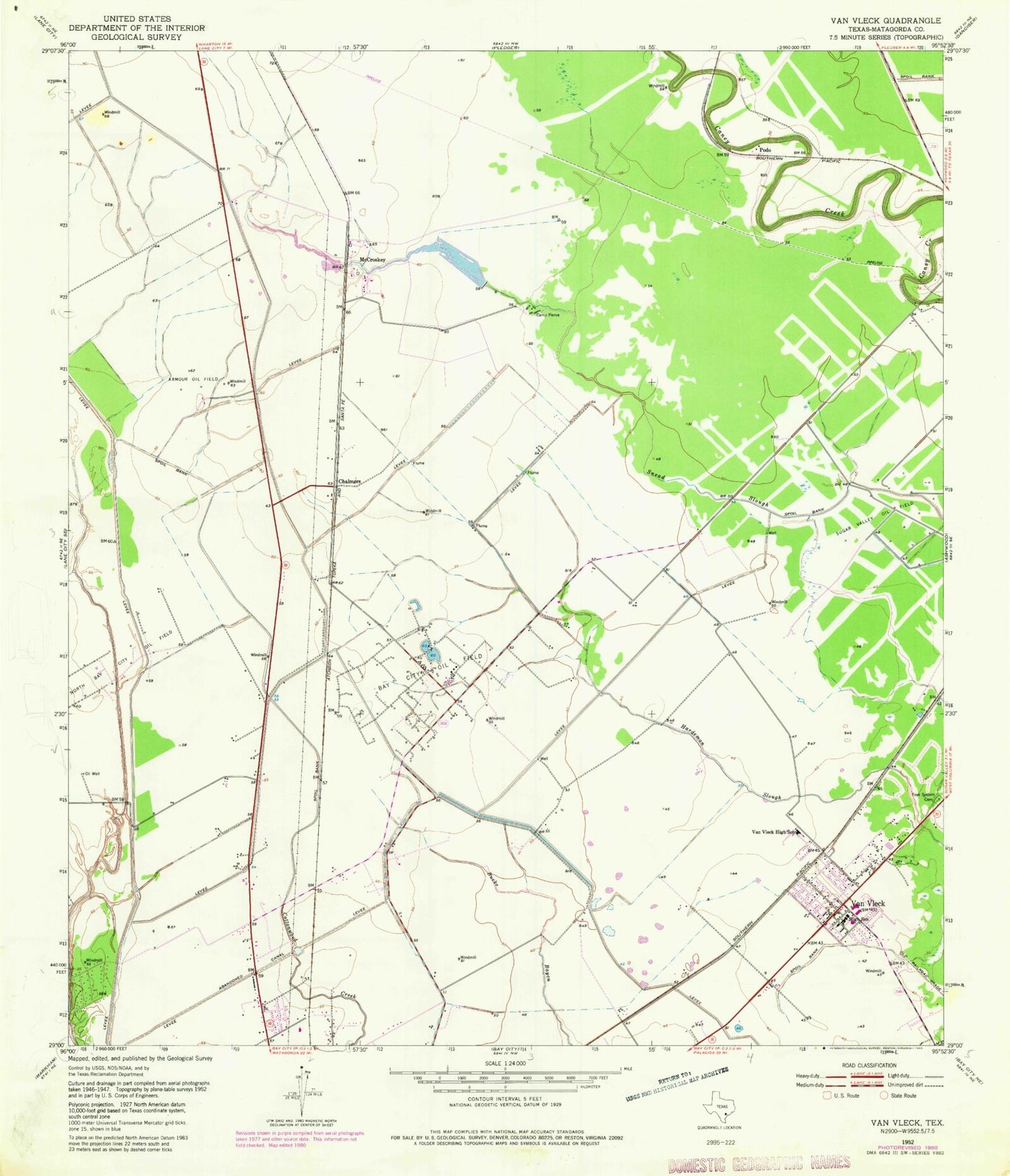
Classic USGS Van Vleck Texas 7.5'x7.5' Topo Map
Couldn't load pickup availability
Historical USGS topographic quad map of Van Vleck in the state of Texas. Map scale may vary for some years, but is generally around 1:24,000. Print size is approximately 24" x 27"
This quadrangle is in the following counties: Matagorda.
The map contains contour lines, roads, rivers, towns, and lakes. Printed on high-quality waterproof paper with UV fade-resistant inks, and shipped rolled.
Contains the following named places: Ag Aviation Airport, Armour Oil Field, Bay City Division, Bay City Oil Field, Camp Pierce, Chalmers, Free System Cemetery, Matagorda County Alternative Education School, McCroskey, O H Herman Middle School, Podo, Roselawn Memorial Park, Van Vleck, Van Vleck Census Designated Place, Van Vleck Elementary School, Van Vleck High School, Van Vleck Intermediate School, Van Vleck Post Office, Van Vleck Volunteer Fire Department, ZIP Code: 77482