MyTopo
Classic USGS Van Winkle Spring California 7.5'x7.5' Topo Map
Regular price
$16.95
Regular price
Sale price
$16.95
Unit price
per
Couldn't load pickup availability
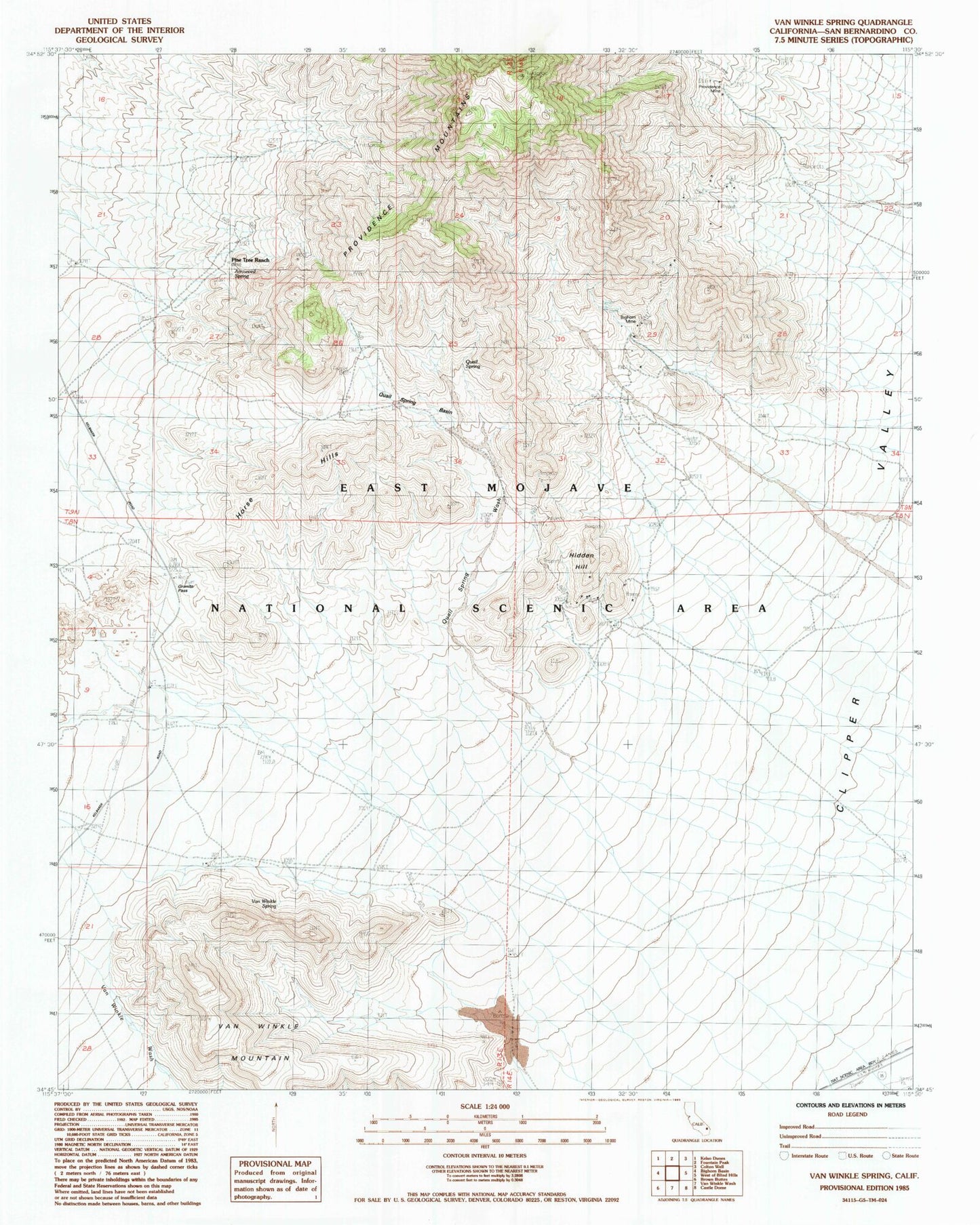
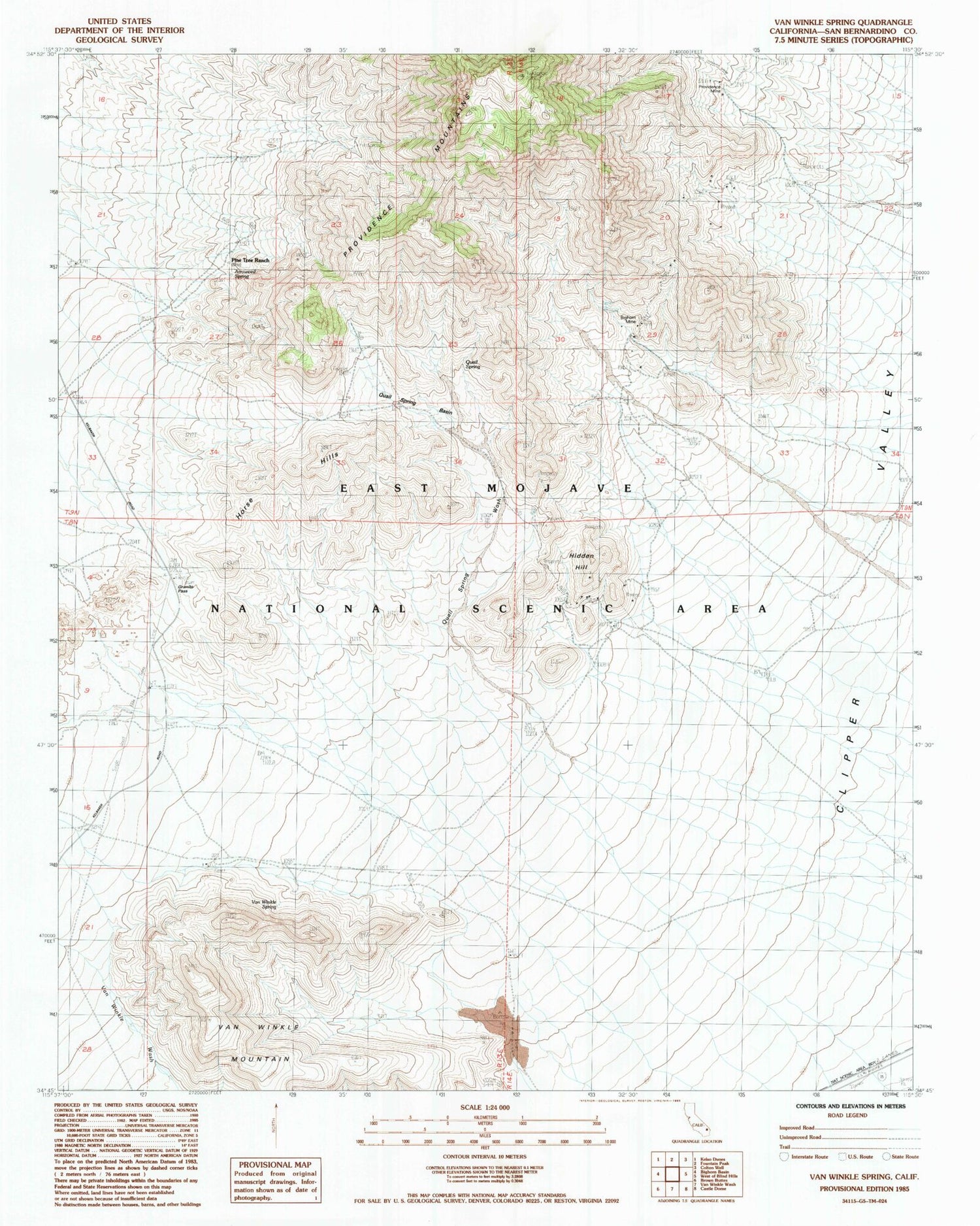
Historical USGS topographic quad map of Van Winkle Spring in the state of California. Map scale may vary for some years, but is generally around 1:24,000. Print size is approximately 24" x 27"
This quadrangle is in the following counties: San Bernardino.
The map contains contour lines, roads, rivers, towns, and lakes. Printed on high-quality waterproof paper with UV fade-resistant inks, and shipped rolled.
Contains the following named places: Arrowhead Spring, Bighorn Mine, Granite Pass, Hidden Hill, Horse Hills, Pine Tree Ranch, Quail Spring, Quail Spring Basin, Van Winkle Mountain, Van Winkle Spring