MyTopo
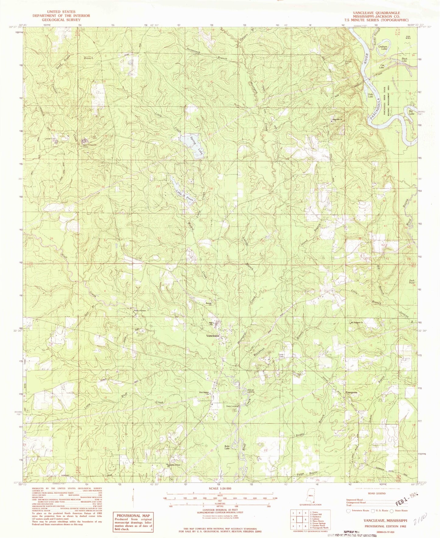
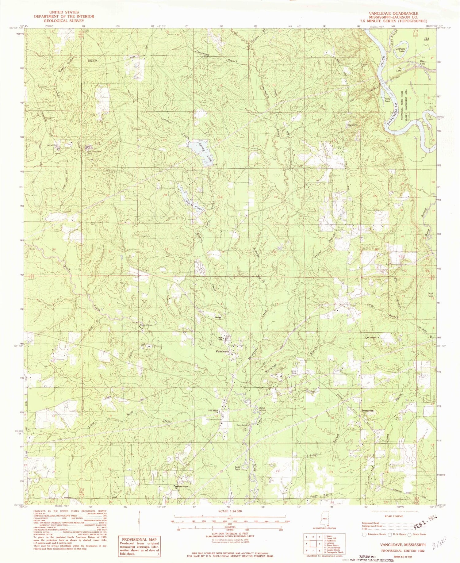
Classic USGS Vancleave Mississippi 7.5'x7.5' Topo Map
Couldn't load pickup availability
Historical USGS topographic quad map of Vancleave in the state of Mississippi. Map scale may vary for some years, but is generally around 1:24,000. Print size is approximately 24" x 27"
This quadrangle is in the following counties: Jackson.
The map contains contour lines, roads, rivers, towns, and lakes. Printed on high-quality waterproof paper with UV fade-resistant inks, and shipped rolled.
Contains the following named places: Beaulah Church, Black Lake, Bluff Creek Boat Ramp, Bluff Creek School, Bobs Lake, Carter Cemetery, Cat Lake, Central Jackson County Fire Station 3, Central Jackson County Fire Station 5, Central Jackson County Fire Station 6, Cowpen Creek, Dees Landing, Duck Pond, Dwyer Branch, Evergreen, Evergreen Church, First Baptist Church, Galloways Store, Graham Cemetery, Graham Ferry, Graham Lake, Holy Spirit Catholic Church, Home of Grace Church, Horseneck Branch, Island Branch, Jackson - George Regional Library System Vancleave Public Library, Kingdom Hall of Jehovahs Witnesses, Ladner Cemetery, Lake of Pines Dam, Little Creek, Live Oak Pond School, Live Oak School, Livings Branch, Magnolia Church, McCall Landing, Moungers Creek, Mount Pleasant Church, New Light Church, New Prospects Camp, O Pines Lake, Pine Lake Baptist Church, Polly Lake, Reed Brake Branch, Roy Cumbest Bridge, Roy Cumbest Bridge Boat Ramp, Spring Lake, Spring Lake Dam, Still Branch, Vancleave, Vancleave Cemetery 1, Vancleave Census Designated Place, Vancleave Church of Christ, Vancleave Community Center, Vancleave High School, Vancleave Post Office, Vancleave United Methodist Church, Vancleave Volunteer Fire Department Old River Road Station, Waters Creek, Woodman Branch, ZIP Code: 39565


