MyTopo
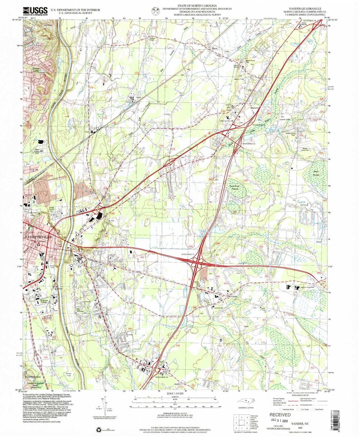
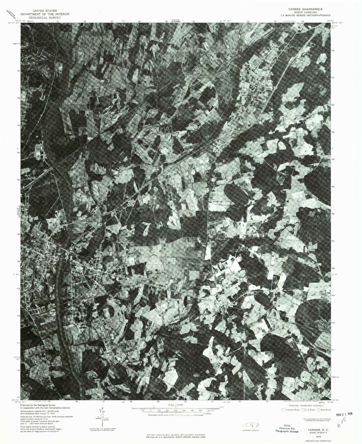
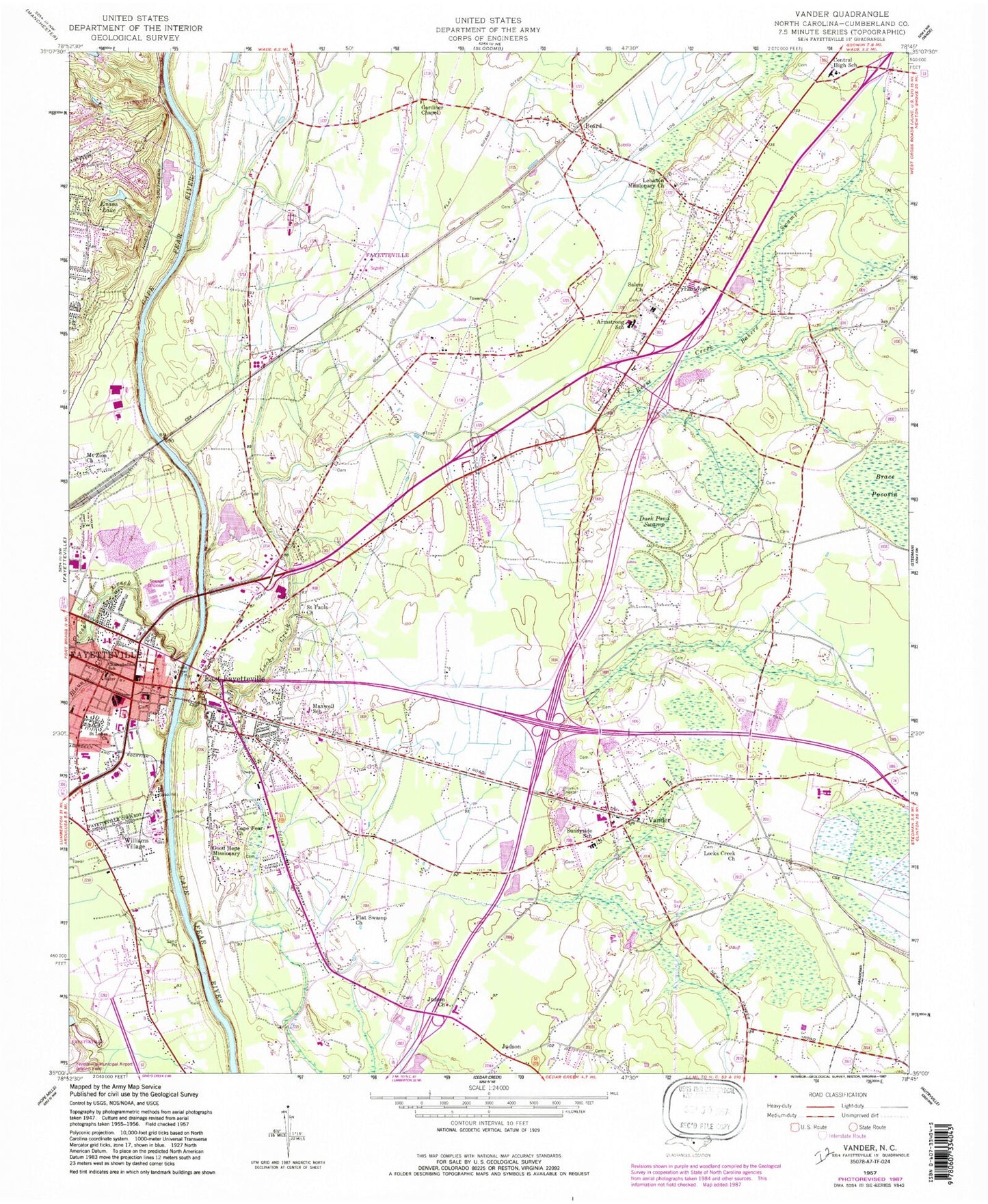
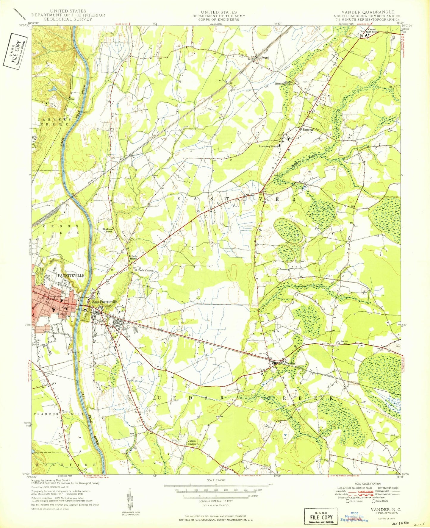
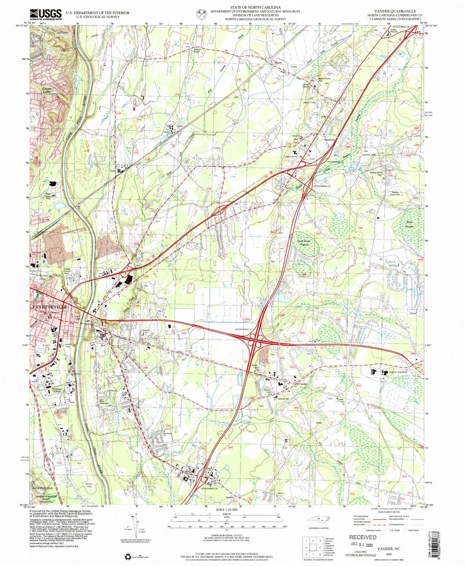
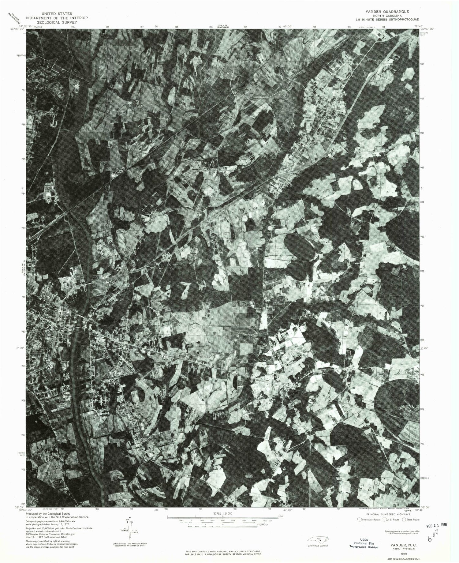
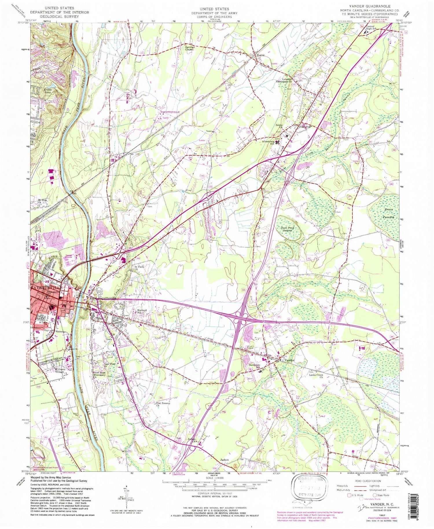
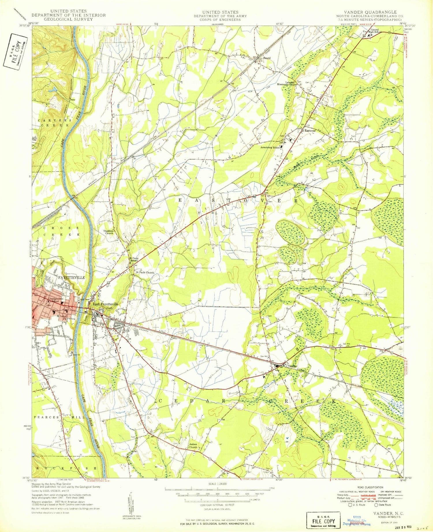
Classic USGS Vander North Carolina 7.5'x7.5' Topo Map
Couldn't load pickup availability
Historical USGS topographic quad map of Vander in the state of North Carolina. Map scale may vary for some years, but is generally around 1:24,000. Print size is approximately 24" x 27"
This quadrangle is in the following counties: Cumberland.
The map contains contour lines, roads, rivers, towns, and lakes. Printed on high-quality waterproof paper with UV fade-resistant inks, and shipped rolled.
Contains the following named places: Armstrong Elementary School, Bakers Swamp, Beard, Blounts Creek, Brace Pocosin, Cade Hill, Cape Fear Church, Cape Fear Plaza, Cape Fear Senior High School, Central High School, Champbellton School, Clarks Park, Cross Creek, Cross Creek Cemetery, Cumberland County, Cumberland County Park, Duck Pond Swamp, East Fayetteville, Eastover, Eastover Air Ranch Airport, Eastover Census Designated Place, Eastover Volunteer Fire Department, Evans Lake, Fairview Park, Fayetteville Fire Department Station 1, Fayetteville VAH Airport, Flat Swamp Church, Flat Swamp Ditch, Gardiner Chapel, Good Hope Missionary Church, Gum Log Canal, Heritage Heights, Highland Acres, Hollywood, Judson, Judson Church, Lebanon Missionary Church, Locks Creek, Locks Creek Church, Maxwell School, Moores Chapel, Mount Zion Church, Pauline Jones Elementary School, Pope Park, Reese Creek, Rivercliff, Saint Lukes Church, Saint Pauls Church, Salem Church, Sunnyside School, Town of Eastover, Township of Eastover, Tranquil Acres, Vander, Vander Census Designated Place, Vander Fire District, Walker-Spivey Elementary School, Watson Lake Dam, WIDU-AM (Fayetteville), Williams Village
