MyTopo
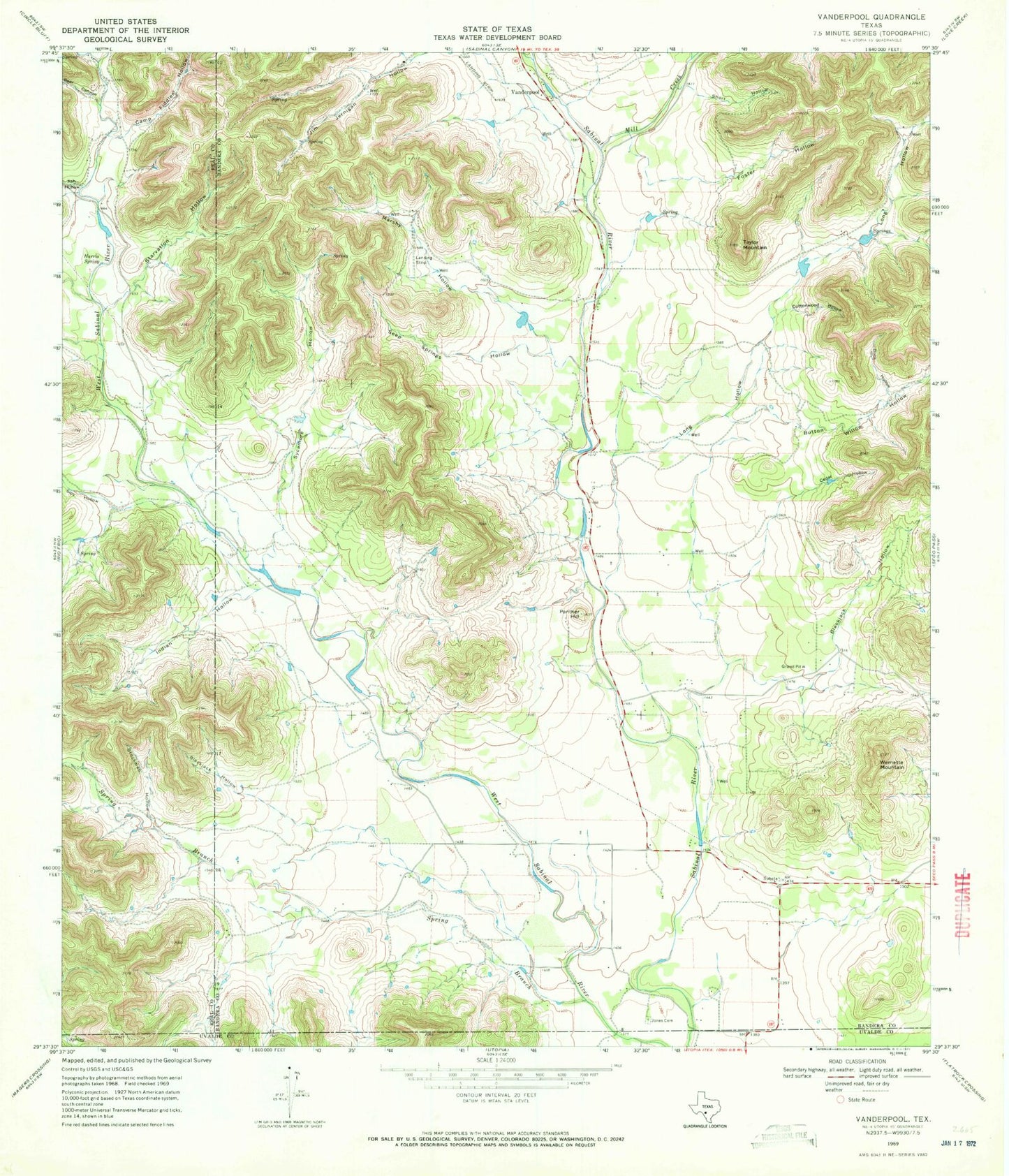
Classic USGS Vanderpool Texas 7.5'x7.5' Topo Map
Couldn't load pickup availability
Historical USGS topographic quad map of Vanderpool in the state of Texas. Typical map scale is 1:24,000, but may vary for certain years, if available. Print size: 24" x 27"
This quadrangle is in the following counties: Bandera, Real, Uvalde.
The map contains contour lines, roads, rivers, towns, and lakes. Printed on high-quality waterproof paper with UV fade-resistant inks, and shipped rolled.
Contains the following named places: Ash Hollow, Blackjack Hollow, Buck Hollow, Cedar Hollow, Cottonwood Hollow, Foster Hollow, Harris Spring, Indian Hollow, Jones Cemetery, Long Hollow, Marshy Hollow, Panther Hill, Powers Hollow, Seep Springs Hollow, Short Hollow, Sipy Hollow, Spring Branch, Starvation Hollow, Stockman Hollow, Sycamore Hollow, Taylor Mountain, Wernette Mountain, Bear Canyon, Blackjack Hollow, Button Willow Hollow, Camp Fiddler Hollow, Cottonwood Canyon, Jernigan Creek, Mill Creek, Vanderpool, Foster Ranch Airport, Vanderpool Volunteer Fire Department, Vanderpool Post Office


