MyTopo
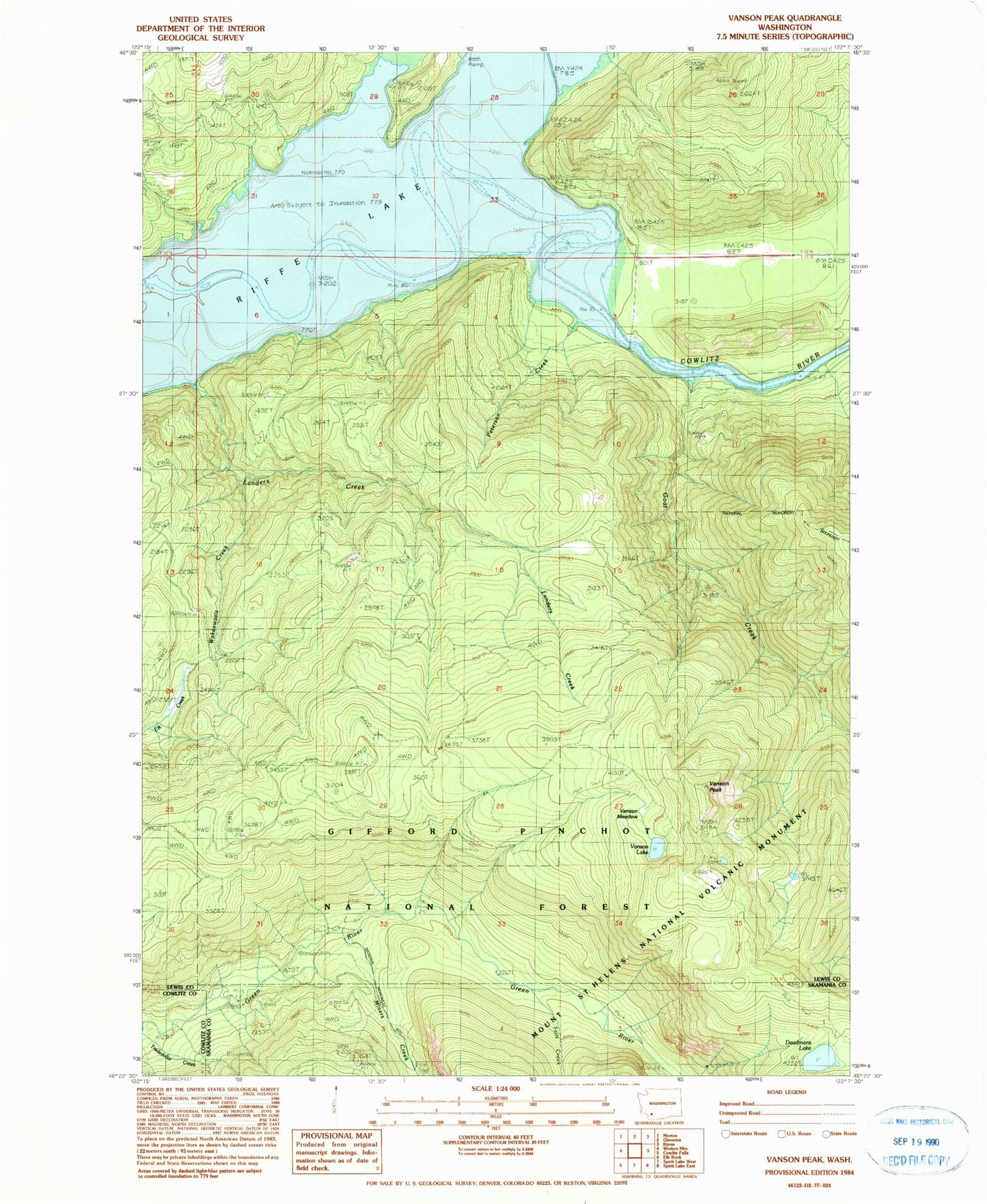
Classic USGS Vanson Peak Washington 7.5'x7.5' Topo Map
Regular price
$16.95
Regular price
Sale price
$16.95
Unit price
per
Couldn't load pickup availability
Historical USGS topographic quad map of Vanson Peak in the state of Washington. Typical map scale is 1:24,000, but may vary for certain years, if available. Print size: 24" x 27"
This quadrangle is in the following counties: Cowlitz, Lewis, Skamania.
The map contains contour lines, roads, rivers, towns, and lakes. Printed on high-quality waterproof paper with UV fade-resistant inks, and shipped rolled.
Contains the following named places: Deadmans Lake, Falls Creek, Goat Creek, Green River Guard Station, Independence Mine, Kosmos (historical), Landers Creek, Miners Creek, Peterson Creek, Sand Creek, Steffen Creek, Tradedollar Creek, Vanson Lake, Vanson Meadow, Vanson Peak, Wakeawasis Creek, Rainey Creek