MyTopo
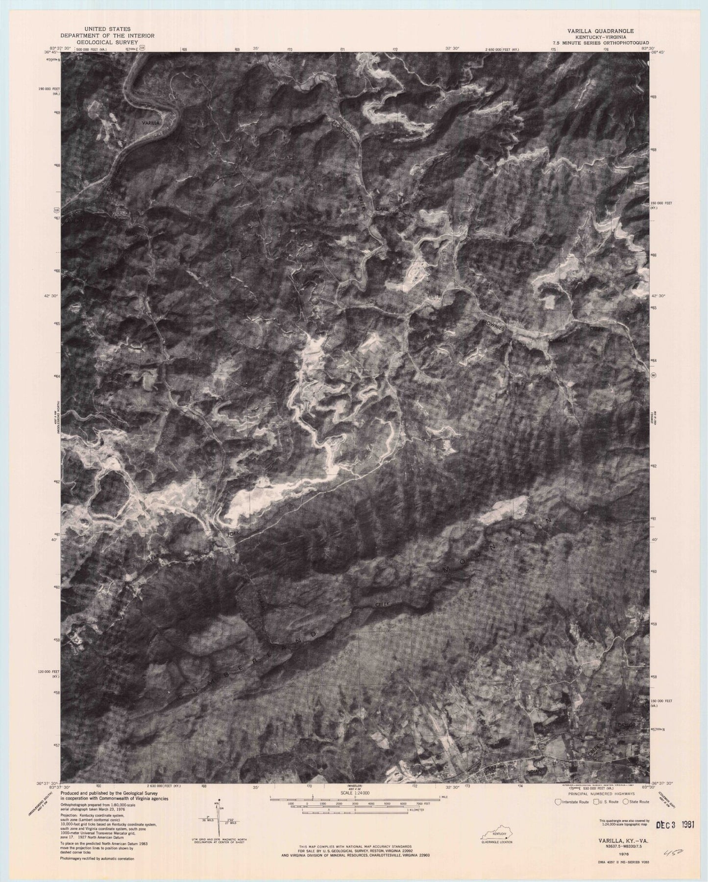
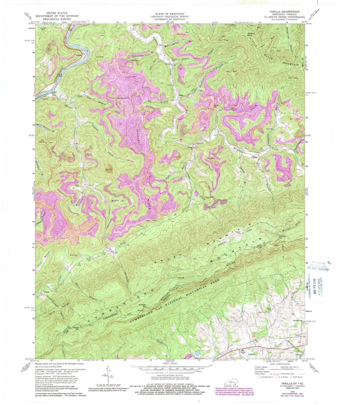
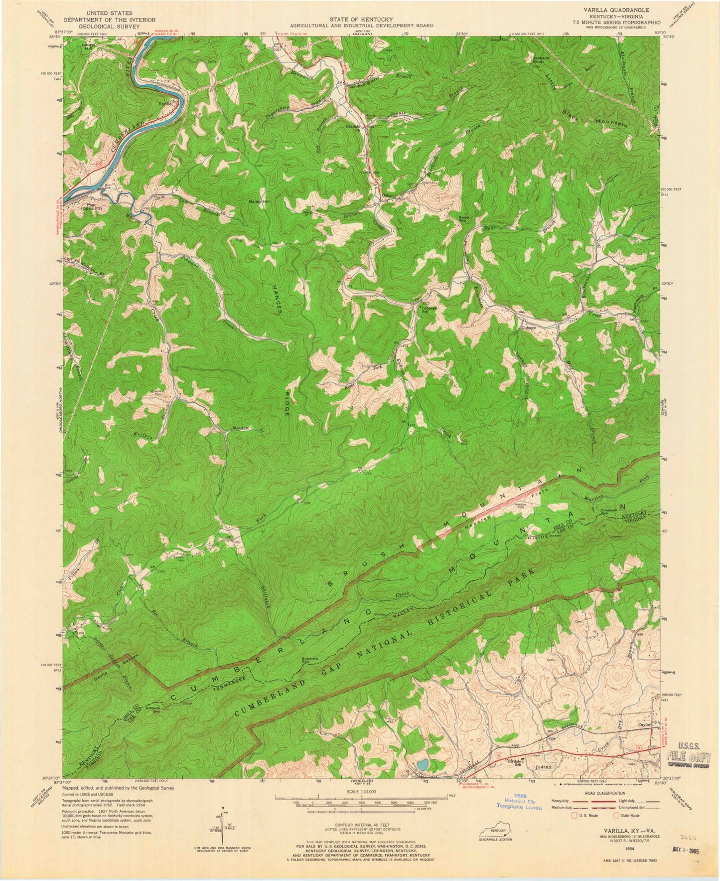
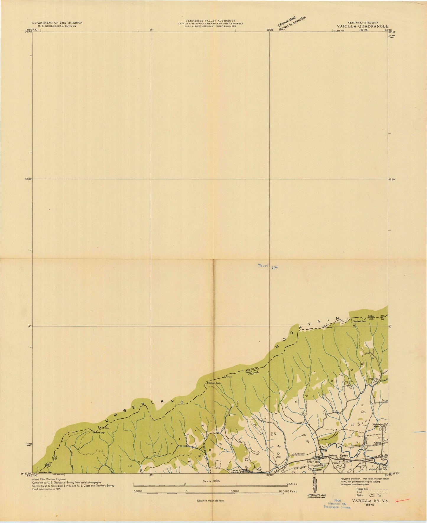
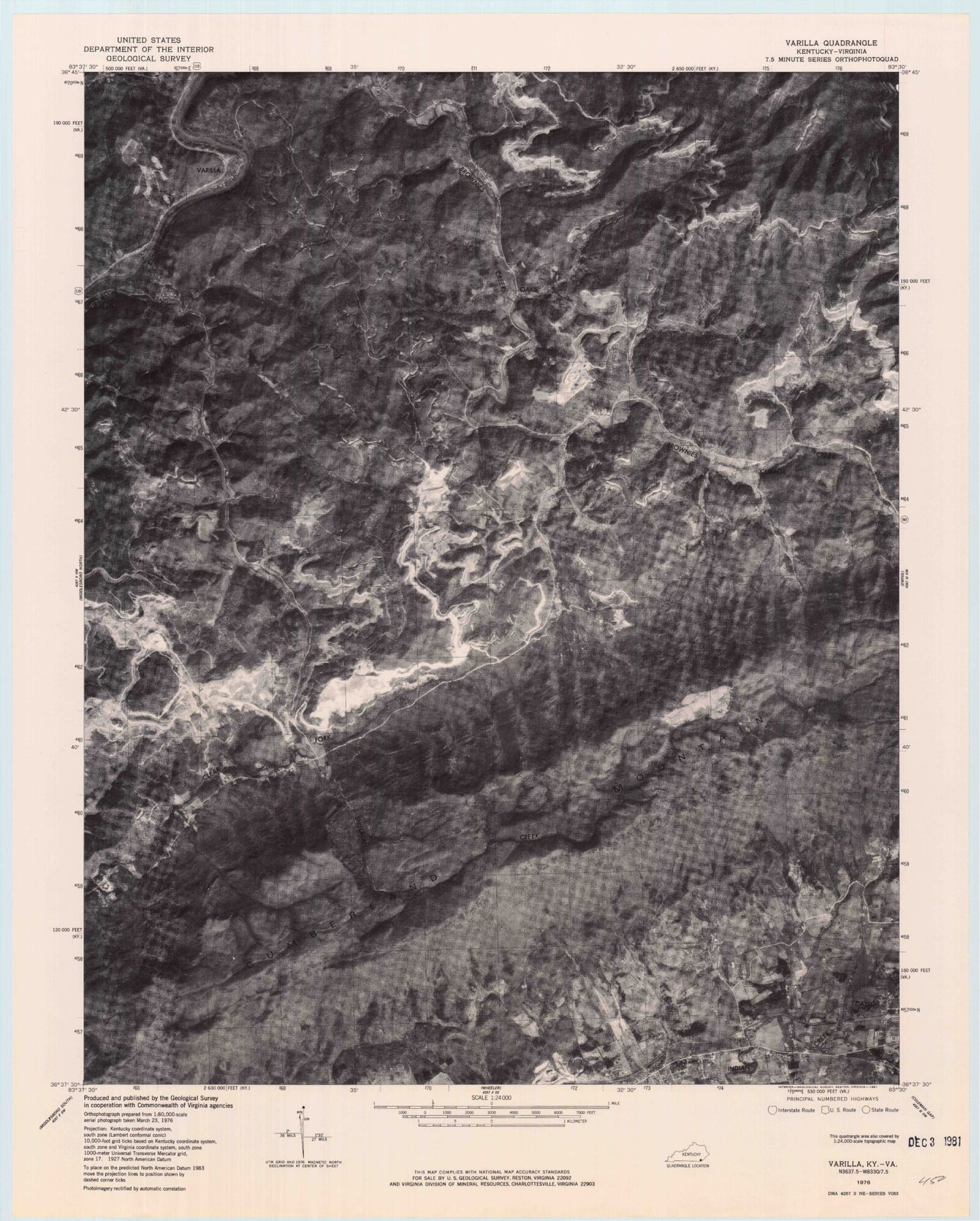
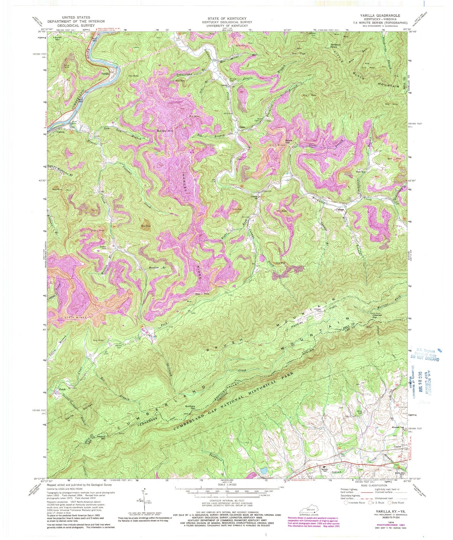
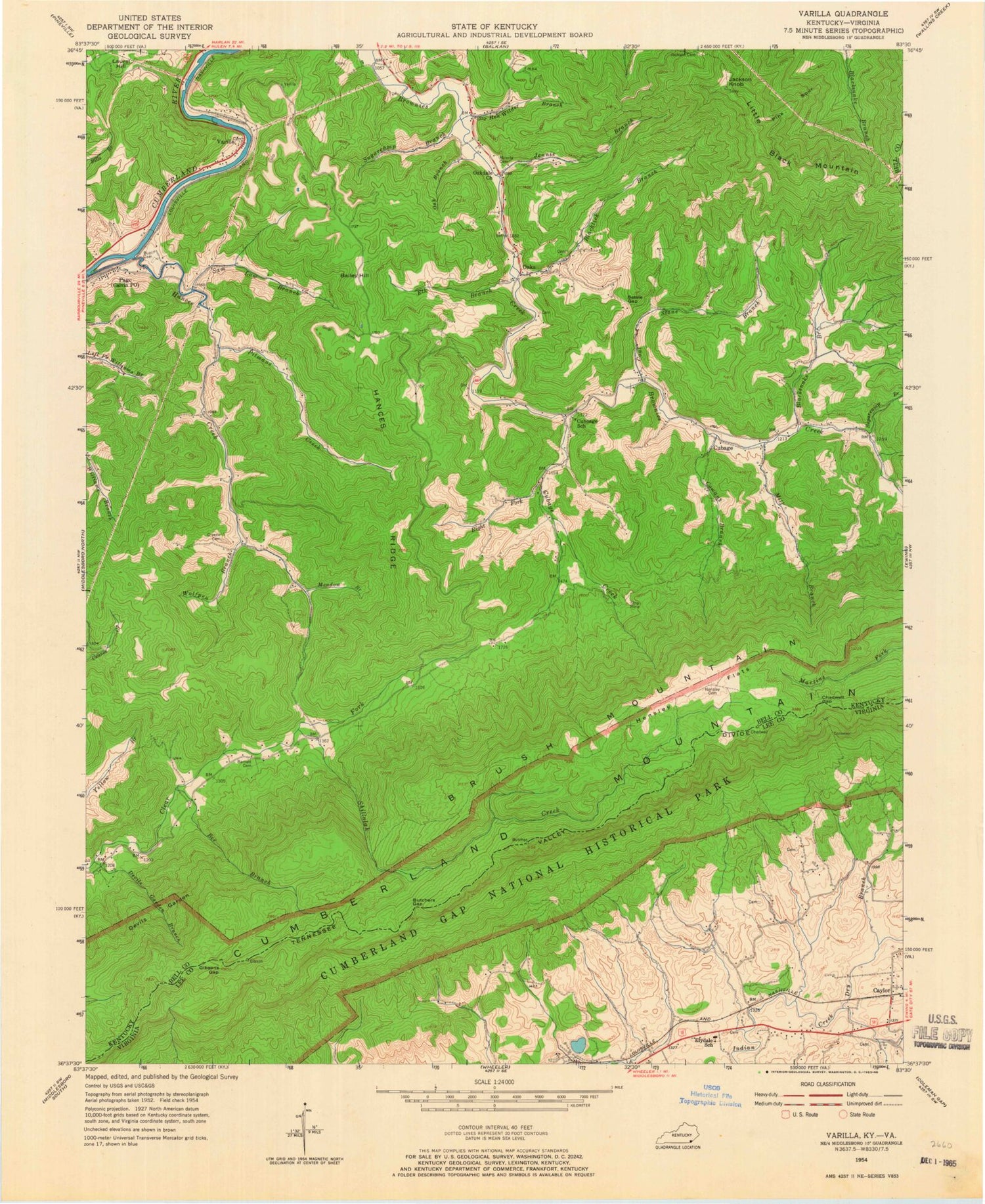
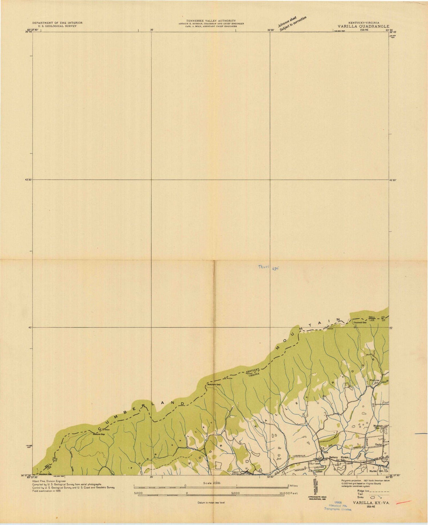
Classic USGS Varilla Kentucky 7.5'x7.5' Topo Map
Couldn't load pickup availability
Historical USGS topographic quad map of Varilla in the states of Kentucky, Virginia. Map scale may vary for some years, but is generally around 1:24,000. Print size is approximately 24" x 27"
This quadrangle is in the following counties: Bell, Harlan, Lee.
The map contains contour lines, roads, rivers, towns, and lakes. Printed on high-quality waterproof paper with UV fade-resistant inks, and shipped rolled.
Contains the following named places: Bailey Cemetery, Bailey Hill, Barnett Cemetery, Bee Branch, Bell County Volunteer Fire Department Brownies Creek Station, Betsie Gap, Bible Church, Blacklick Branch, Blacksnake Branch, Brush Mountain, Buell Cemetery, Butchers Gap, Calvin, Calvin Post Office, Chadwell Gap, Chadwell Gap Campsite, Chadwell Gap Trail, Coal Stone Branch, Cowan Branch, Cowans Branch, Cubage, Cubage Creek, Cubbage School, Cumberland Gap National Historical Park, Devils Garden, Devils Garden Branch, Dry Branch, Elk Branch, Elydale Elementary School, Gibson Campsite, Gibsons Gap, Greene Cemetery, Hances Creek, Hances Ridge, Hen Wilder Branch, Hensley Cemetery, Hensley Flats, Hutch, Jackson Cemetery, Jackson Knob, Jennie Branch, Marble Hill Church, Martins Fork Campsite, Meadow Branch, Mill Branch, Miracle Cemetery, Miracle Post Office, Mountain View Church, Oak Branch, Oakdale Church, Oaks, Pine Spur, Pitmans Creek, Ridge Trail, Right Fork Cubage Creek, Sam Low Branch, Shillalah Creek, Sugarcamp Branch, Tejay Division, Tompsons Mill, Varilla, Varilla Railroad Station, Watts Creek, Wolfpen Branch, Woodvine School, ZIP Codes: 24248, 40813, 40856
