MyTopo
Classic USGS Vaver Reservoir Montana 7.5'x7.5' Topo Map
Regular price
$16.95
Regular price
Sale price
$16.95
Unit price
per
Couldn't load pickup availability
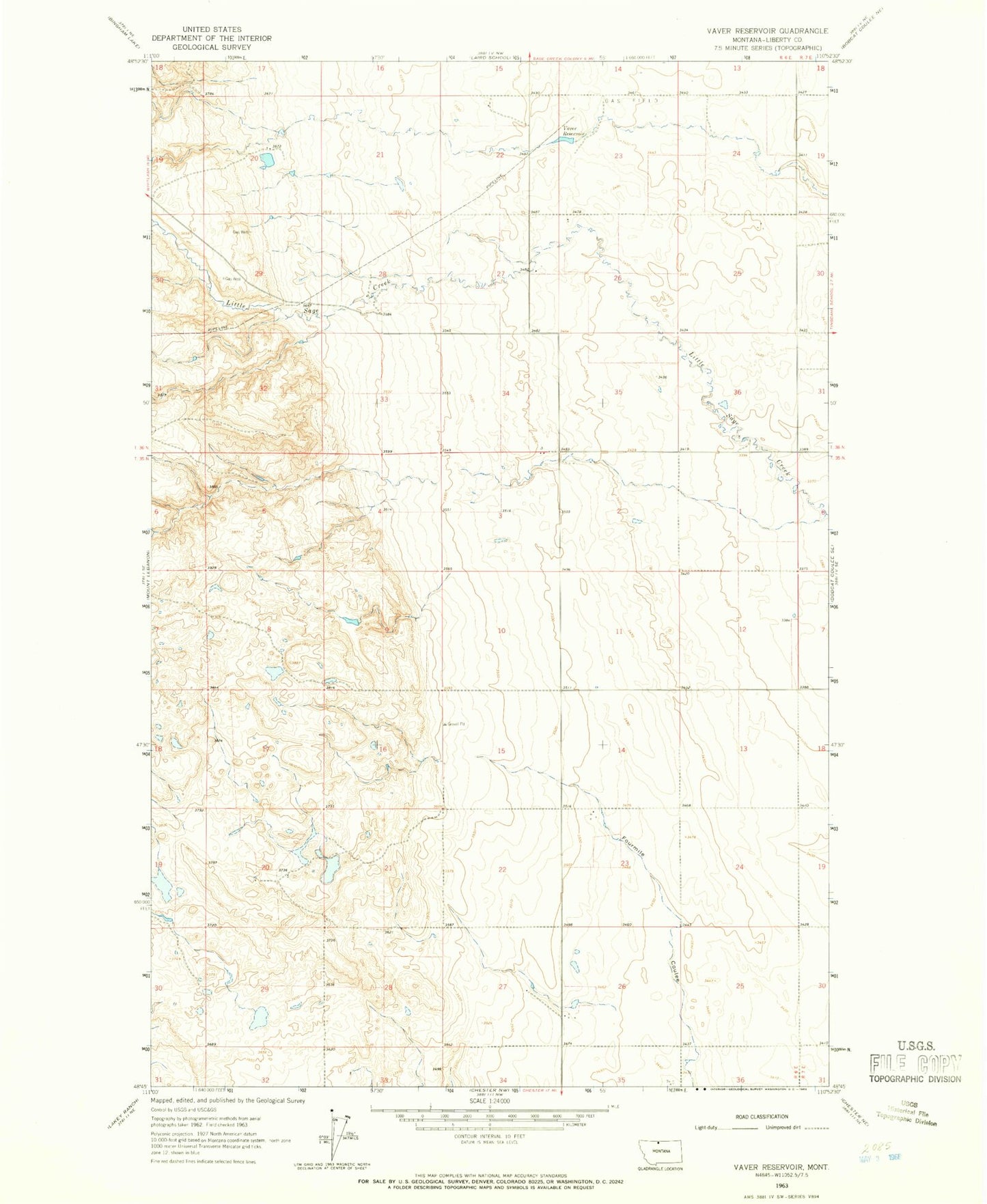
Historical USGS topographic quad map of Vaver Reservoir in the state of Montana. Map scale may vary for some years, but is generally around 1:24,000. Print size is approximately 24" x 27"
This quadrangle is in the following counties: Liberty.
The map contains contour lines, roads, rivers, towns, and lakes. Printed on high-quality waterproof paper with UV fade-resistant inks, and shipped rolled.
Contains the following named places: 35N06E26CBCC01 Well, Desert Coulee, Dragons Head Dam, Lucerne Post Office, Lucerne School, Procyon Dam, Tex Oh Leo Dam, Vaver Reservoir