MyTopo
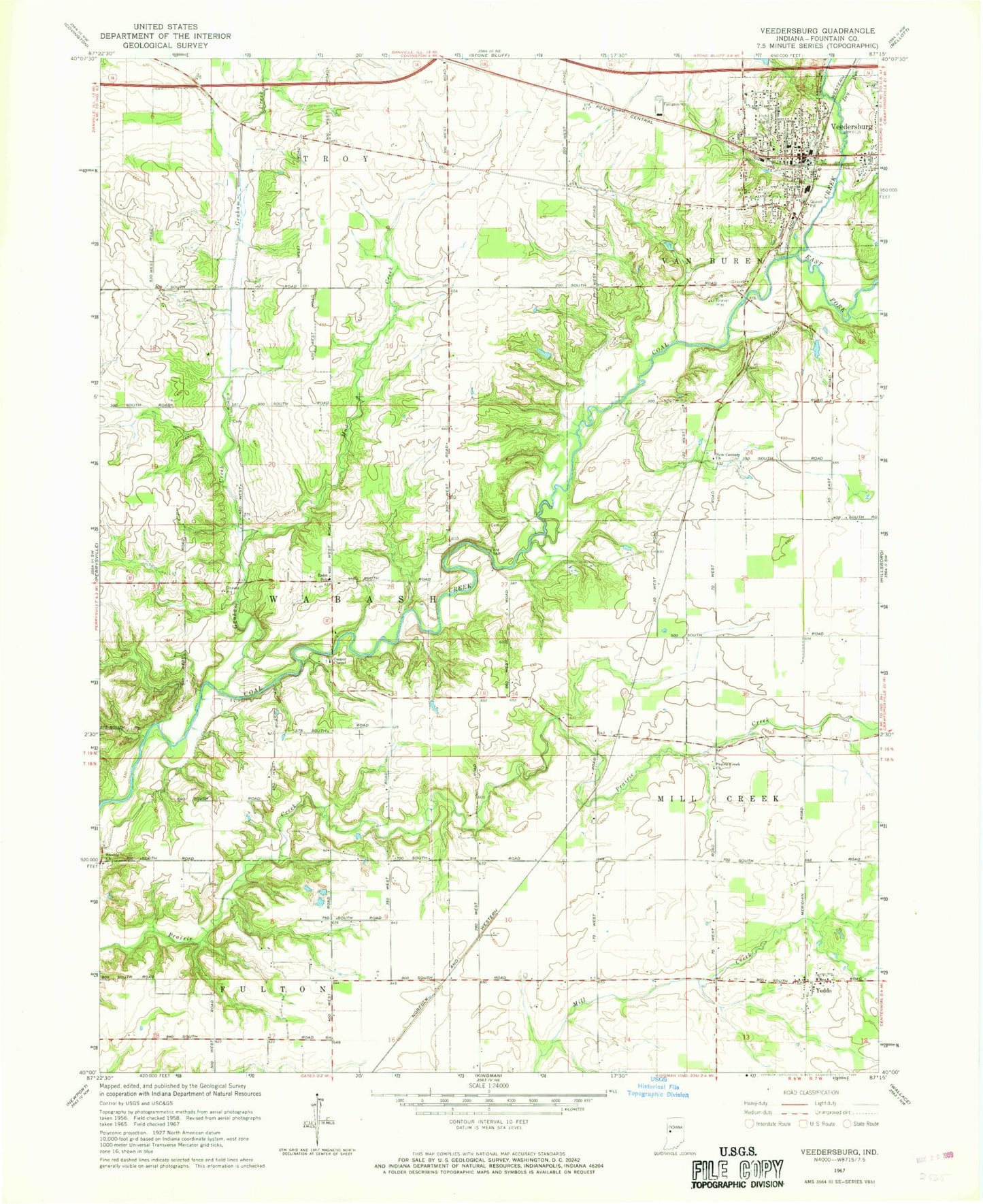
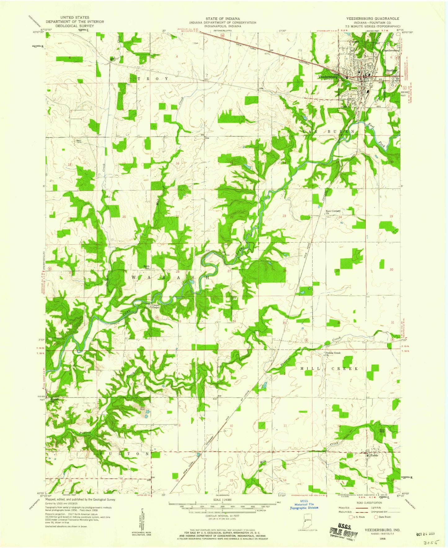
Classic USGS Veedersburg Indiana 7.5'x7.5' Topo Map
Couldn't load pickup availability
Historical USGS topographic quad map of Veedersburg in the state of Indiana. Map scale may vary for some years, but is generally around 1:24,000. Print size is approximately 24" x 27"
This quadrangle is in the following counties: Fountain.
The map contains contour lines, roads, rivers, towns, and lakes. Printed on high-quality waterproof paper with UV fade-resistant inks, and shipped rolled.
Contains the following named places: Cooper Chapel, Dry Run, East Fork Coal Creek, Graham Creek, Hub Park, Mackie, New Century Church, Prairie Creek Church, Rabb School, Snoddy Church, Songer Airport, Town of Veedersburg, Township of Millcreek, Township of Wabash, Veedersburg, Veedersburg Police Department, Veedersburg Post Office, Veedersburg Van Buren Township Volunteer Fire Department, Yeddo