MyTopo
Classic USGS Velenzuela Creek Texas 7.5'x7.5' Topo Map
Couldn't load pickup availability
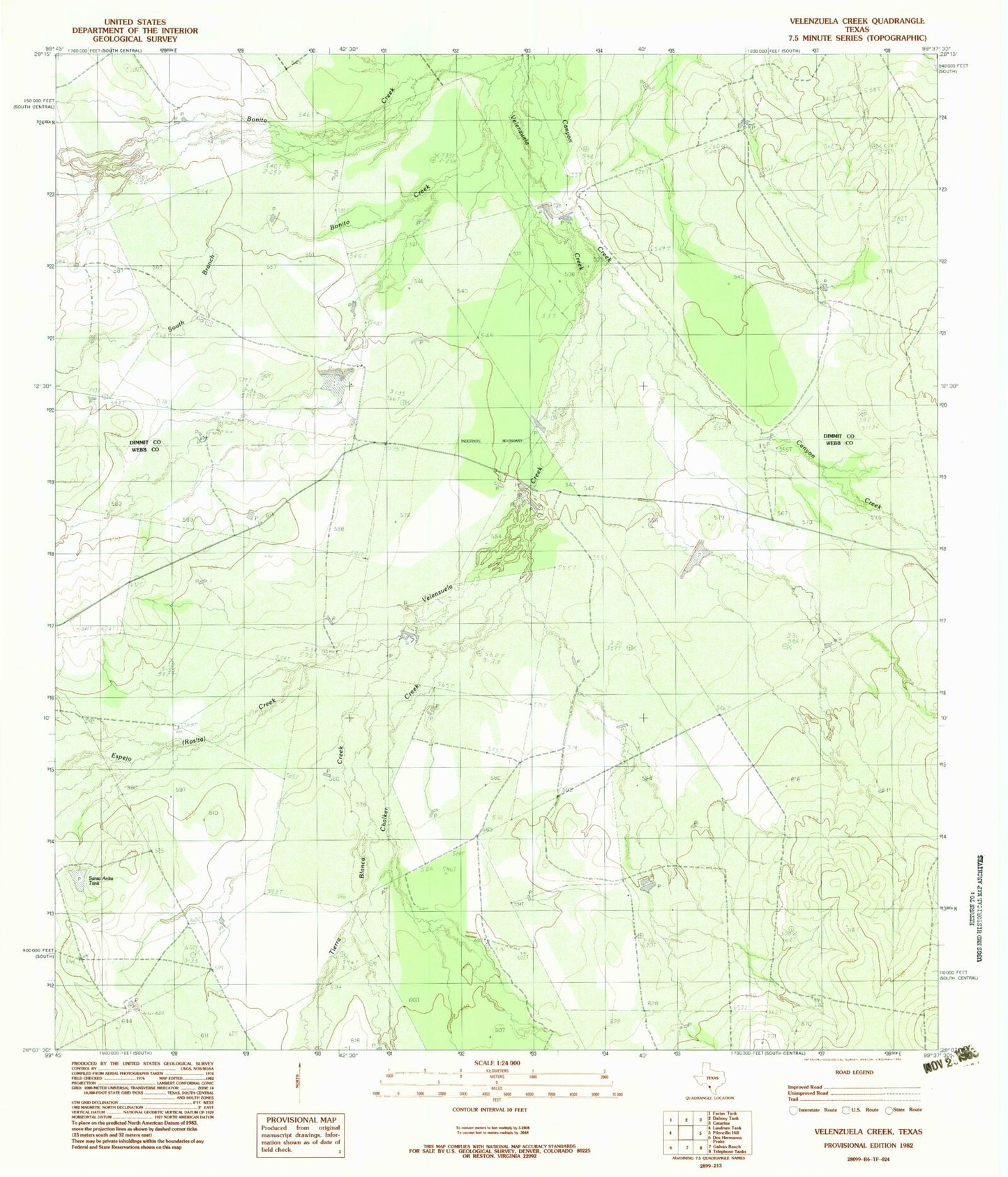
Historical USGS topographic quad map of Velenzuela Creek in the state of Texas. Map scale may vary for some years, but is generally around 1:24,000. Print size is approximately 24" x 27"
This quadrangle is in the following counties: Dimmit, Webb.
The map contains contour lines, roads, rivers, towns, and lakes. Printed on high-quality waterproof paper with UV fade-resistant inks, and shipped rolled.
Contains the following named places: Buena Vista Ranch, C Chenault, Canyon Creek, Chalker Creek, Espejo, Gates Lake Number 2, Gates Lake Number 2 Dam, Harrison Lake Number 1, Harrison Lake Number 1 Dam, S Cotulla, Tierra Blanca Creek, Tiller Lake, Tiller Lake Dam, Valenzuela Ranch Headquarters, Velenzuela Ranch