MyTopo
Classic USGS Velma SW Nebraska 7.5'x7.5' Topo Map
Regular price
$16.95
Regular price
Sale price
$16.95
Unit price
per
Couldn't load pickup availability
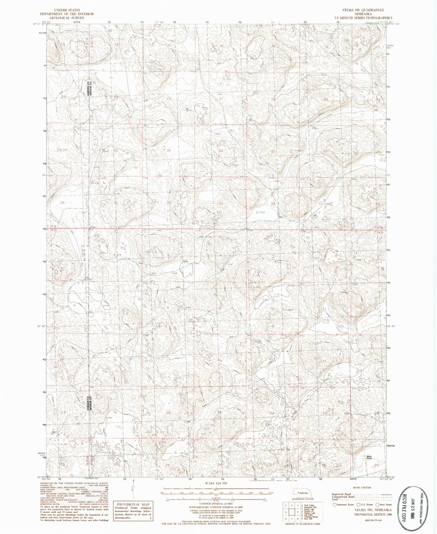
Historical USGS topographic quad map of Velma SW in the state of Nebraska. Map scale may vary for some years, but is generally around 1:24,000. Print size is approximately 24" x 27"
This quadrangle is in the following counties: Arthur, Garden.
The map contains contour lines, roads, rivers, towns, and lakes. Printed on high-quality waterproof paper with UV fade-resistant inks, and shipped rolled.
Contains the following named places: East Ranch, Hall Ranch, McCollin Ranch, O Lane Ranch, Quick Ranch, School Number 34J, School Number 40, Starkey Ranch, White Ranch, Wymore Ranch