
MyTopo
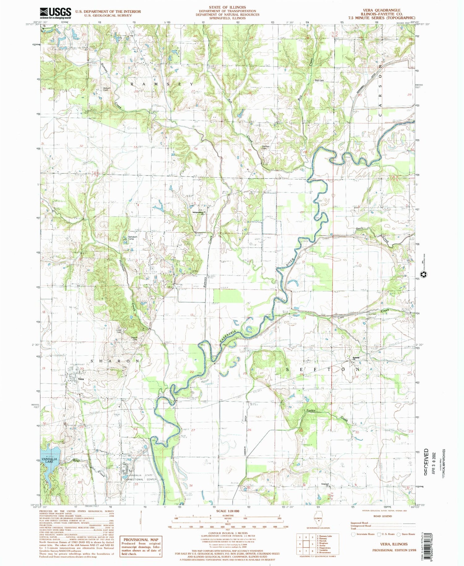
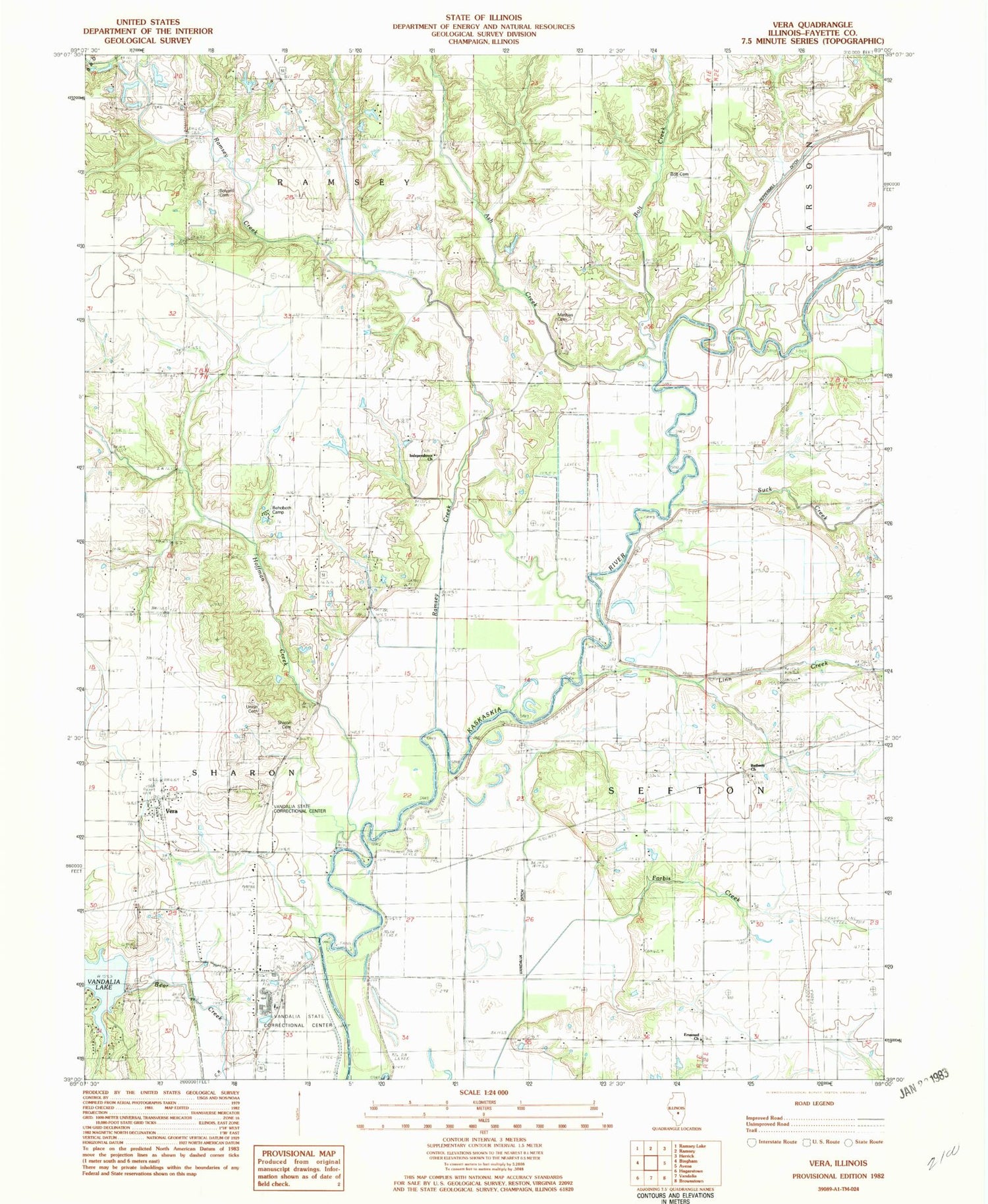
Classic USGS Vera Illinois 7.5'x7.5' Topo Map
Couldn't load pickup availability
Historical USGS topographic quad map of Vera in the state of Illinois. Map scale may vary for some years, but is generally around 1:24,000. Print size is approximately 24" x 27"
This quadrangle is in the following counties: Fayette.
The map contains contour lines, roads, rivers, towns, and lakes. Printed on high-quality waterproof paper with UV fade-resistant inks, and shipped rolled.
Contains the following named places: Ash Creek, Behoboth Camp, Bethany Church, Big Four School, Bolt Cemetery, Bolt Creek, Bolyard Cemetery, Brick School, Emanuel Church, Fayette County, Forbis Cemetery, Forbis Creek, Harris Airport, Hillside School, Hoffman Creek, Independence Cemetery, Independence Church, Independence School, Linn Creek, Mathias Cemetery, McKinney School, Monclovia School, Oak Grove School, Oakdale School, Okaw School, Peppermill Ditch, Ramsey Creek, Sanders Hill School, Sharon Cemetery, Suck Creek, Township of Sharon, Union Cemetery, Union School, Vandalia Correctional Center, Vandalia Municipal Reservoir Dam, Vera, Williams School


