MyTopo
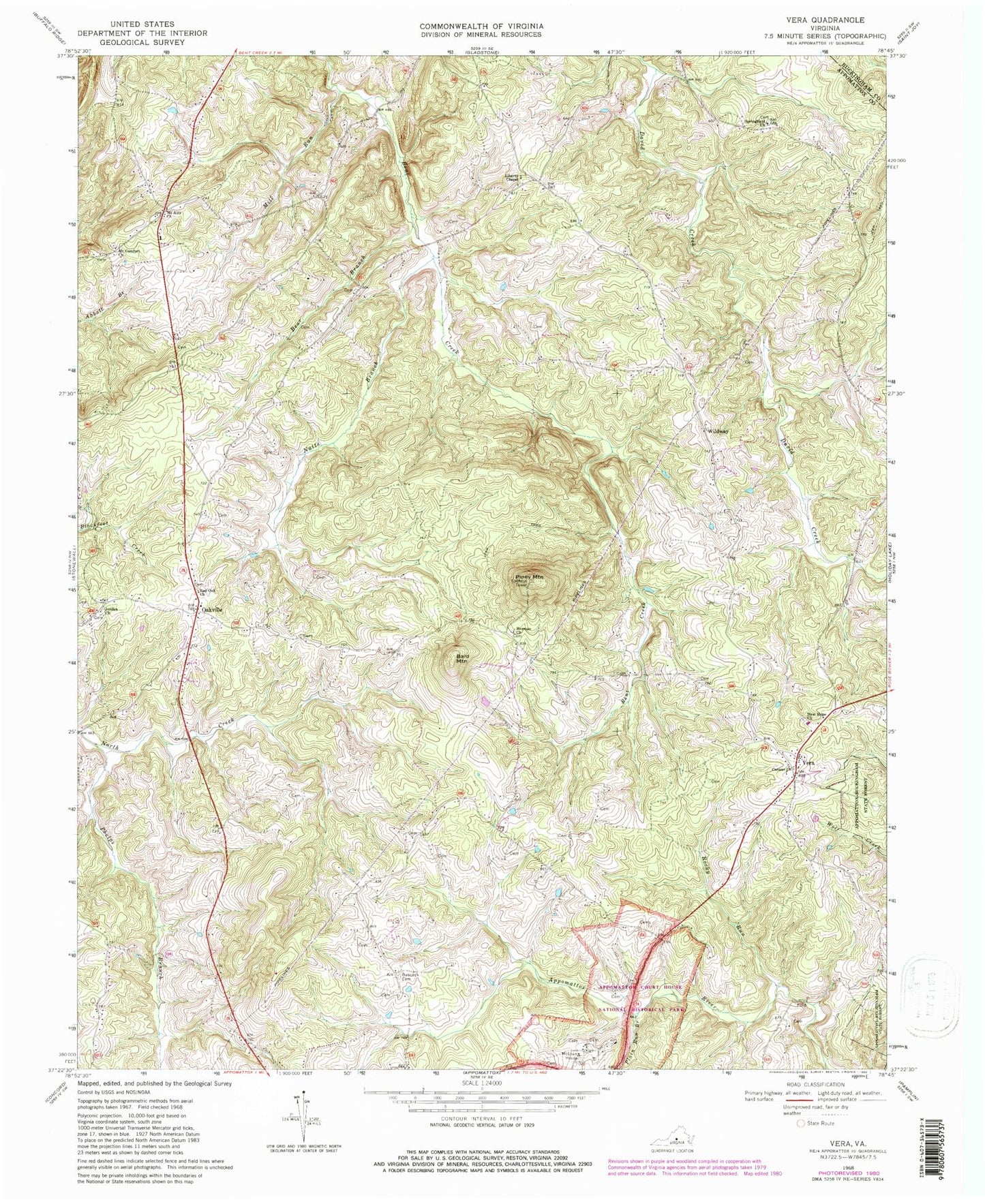
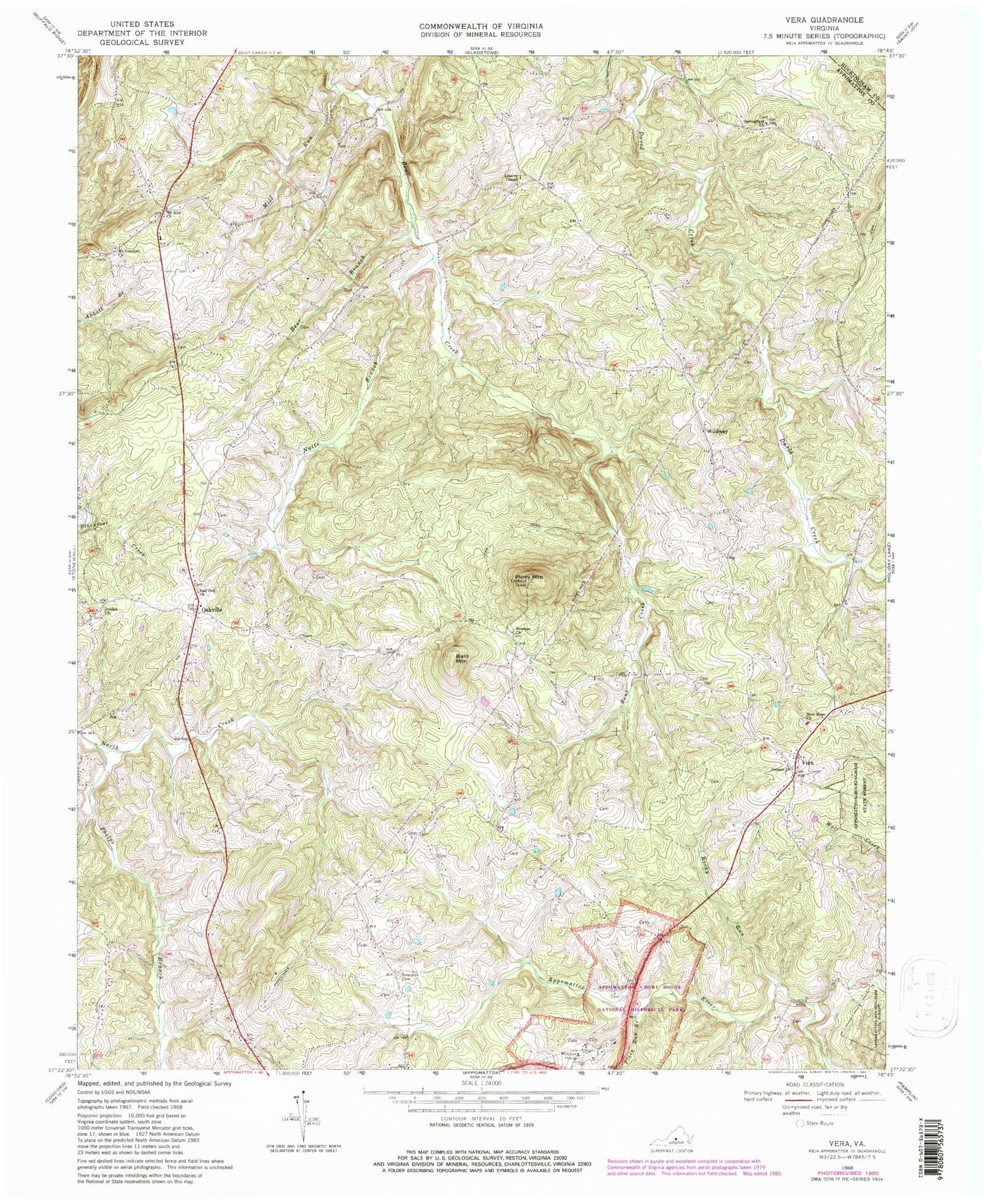
Classic USGS Vera Virginia 7.5'x7.5' Topo Map
Couldn't load pickup availability
Historical USGS topographic quad map of Vera in the state of Virginia. Typical map scale is 1:24,000, but may vary for certain years, if available. Print size: 24" x 27"
This quadrangle is in the following counties: Appomattox, Buckingham.
The map contains contour lines, roads, rivers, towns, and lakes. Printed on high-quality waterproof paper with UV fade-resistant inks, and shipped rolled.
Contains the following named places: Appomattox Court House National Historical Park, Babcock Cemetery, Bear Branch, Canaan Church, Herman Church, Jordan Church, Liberty Chapel Baptist Church, McLean House, Mill Run, Mount Airy Church, Mount Comfort United Methodist Church, Natts Branch, New Hope Baptist Church, Oakville, Phelps Branch, Piney Mountain, Plain Run Branch, Red Oak Baptist Church, Rocky Run, Springfield Baptist Church, Vera, Wildway, Appomattox (historical), Appomattox County Jail, Appomattox Court House, Appomattox Court House Post Office (historical), Clover Hill Tavern, Isbell House, Kelly House, Meeks Store, Mount Airy School (historical), Patterson - Hix Burial Ground, Peers House, Nashs Airport, Bald Mountain, Stonewall District (historical), Piney Mountain District, Nashs Airport


