MyTopo
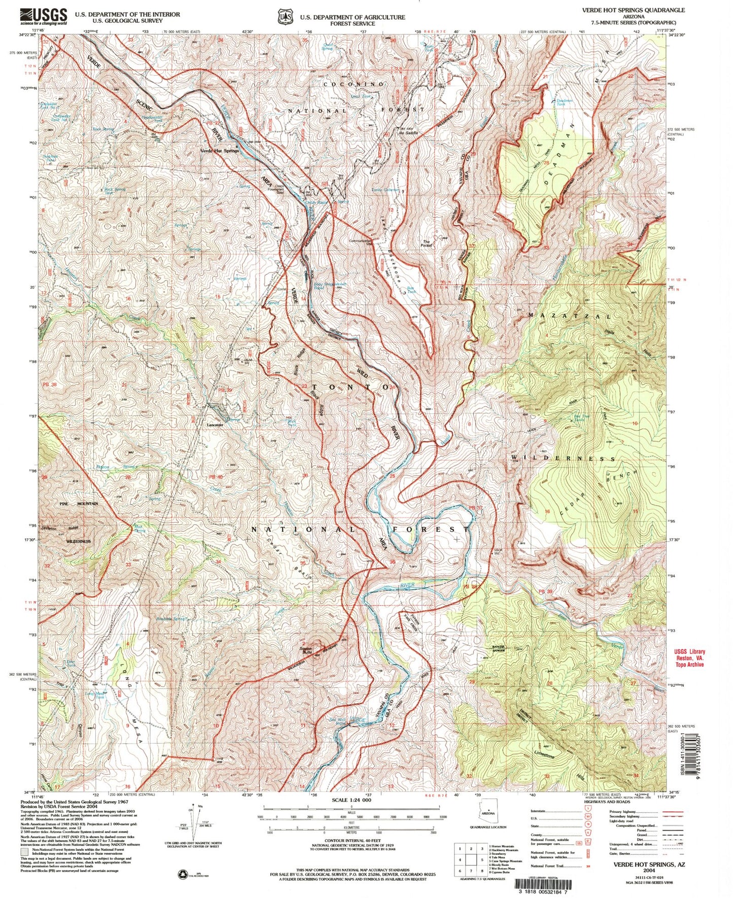
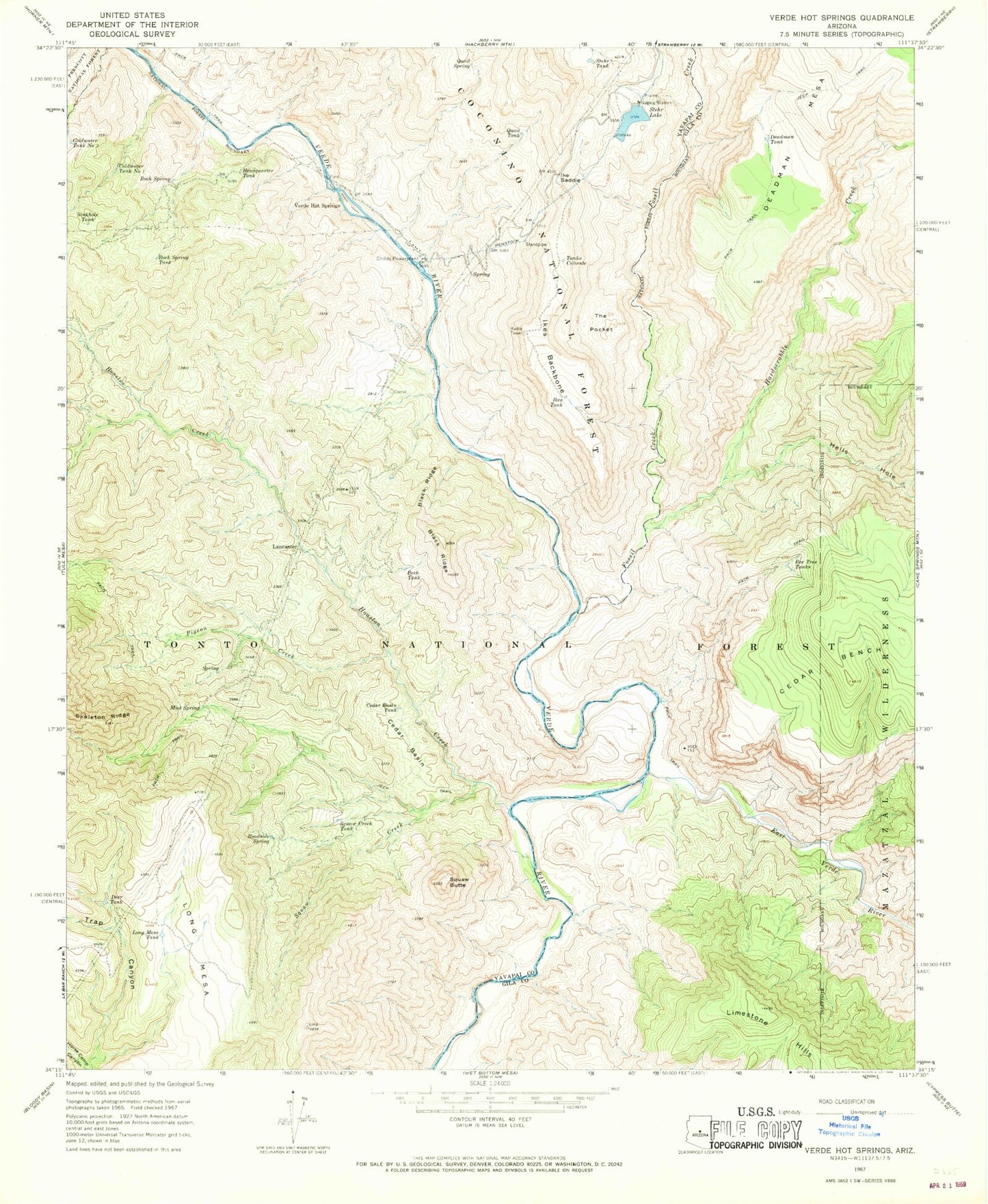
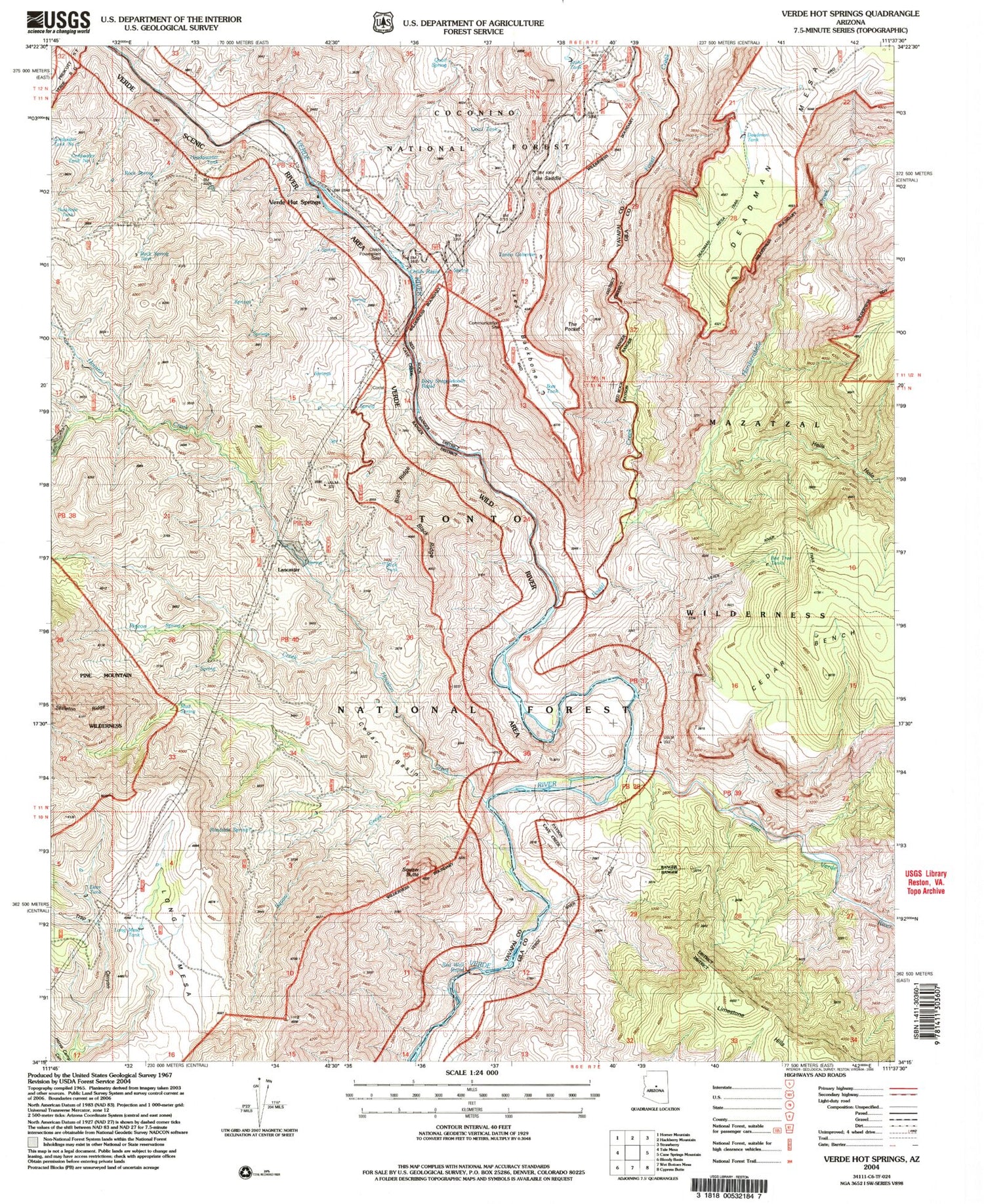
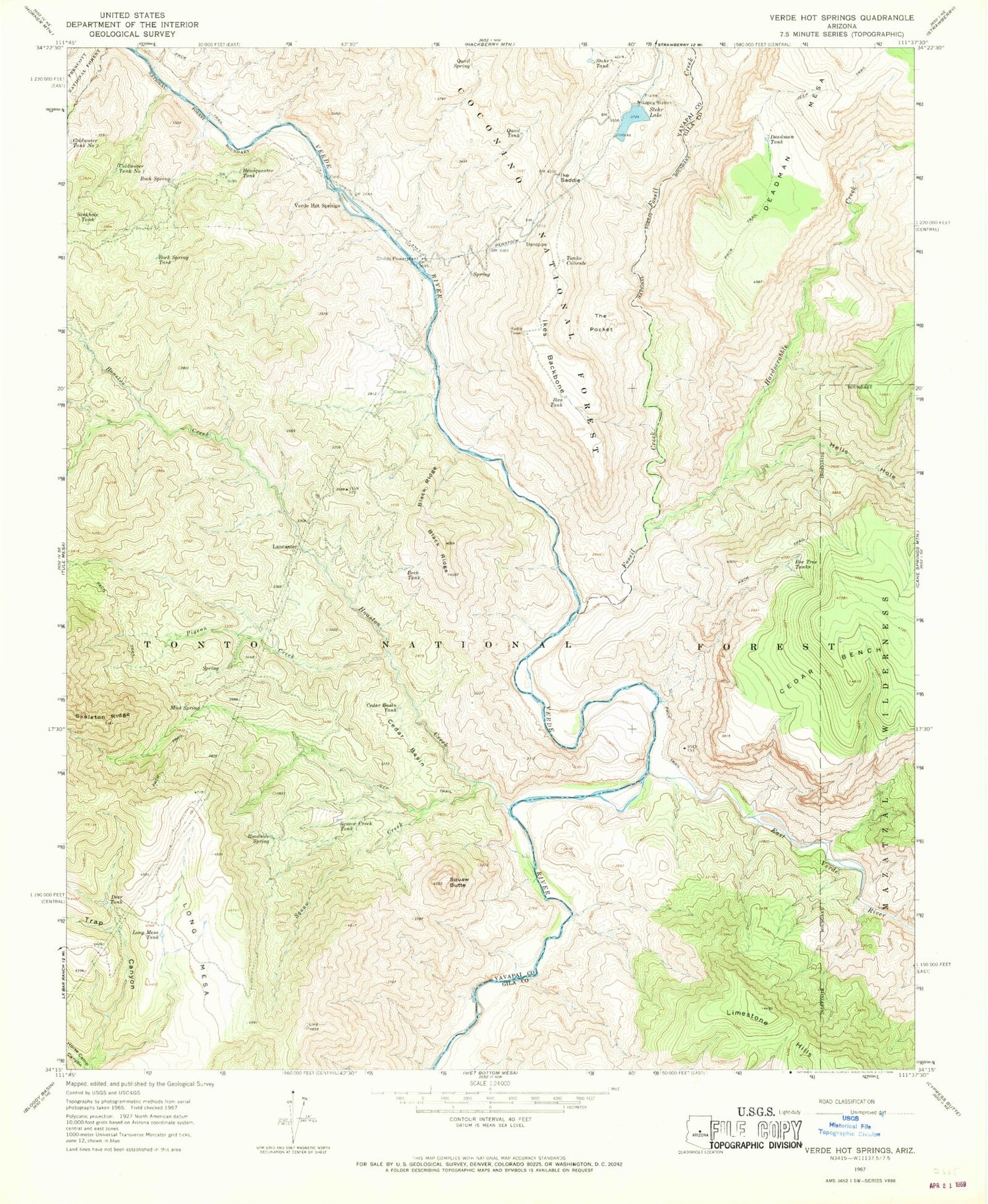
Classic USGS Verde Hot Springs Arizona 7.5'x7.5' Topo Map
Couldn't load pickup availability
Historical USGS topographic quad map of Verde Hot Springs in the state of Arizona. Typical map scale is 1:24,000, but may vary for certain years, if available. Print size: 24" x 27"
This quadrangle is in the following counties: Gila, Yavapai.
The map contains contour lines, roads, rivers, towns, and lakes. Printed on high-quality waterproof paper with UV fade-resistant inks, and shipped rolled.
Contains the following named places: Beck Tank, Bee Tree Tanks, Black Ridge, Cedar Basin, Cedar Basin Tank, Childs Powerplant, Coldwater Tank Number One, Deadman Tank, Deer Tank, East Verde River, Fossil Creek, Hardscrabble Creek, Headquarter Tank, Hells Hole, Horse Camp Canyon, Houston Creek, Ike Saddle, Ikes Backbone, Ikes Tank, Lancaster, Long Mesa, Long Mesa Tank, Mud Spring, Pigeon Creek, Quail Spring, Quail Tank, Roadside Spring, Rock Spring, Rock Spring Tank, Sinkhole Tank, Squaw Butte, Squaw Creek, Squaw Creek Tank, Stehr Lake, Stehr Tank, Tanko Caliente, The Pocket, Verde Hot Springs, Childs Powerplant Tank, Mountain Ranch Trail Number Ten, Stehr Lake Dam, Hardscrabble Canyon, State of Arizona, Baby Snaggletooth, Warm Spring, Red Wall Rapid, Childs Rapid, Verde Wild and Scenic River, Verde Wild River Area, Childs Campground


