MyTopo
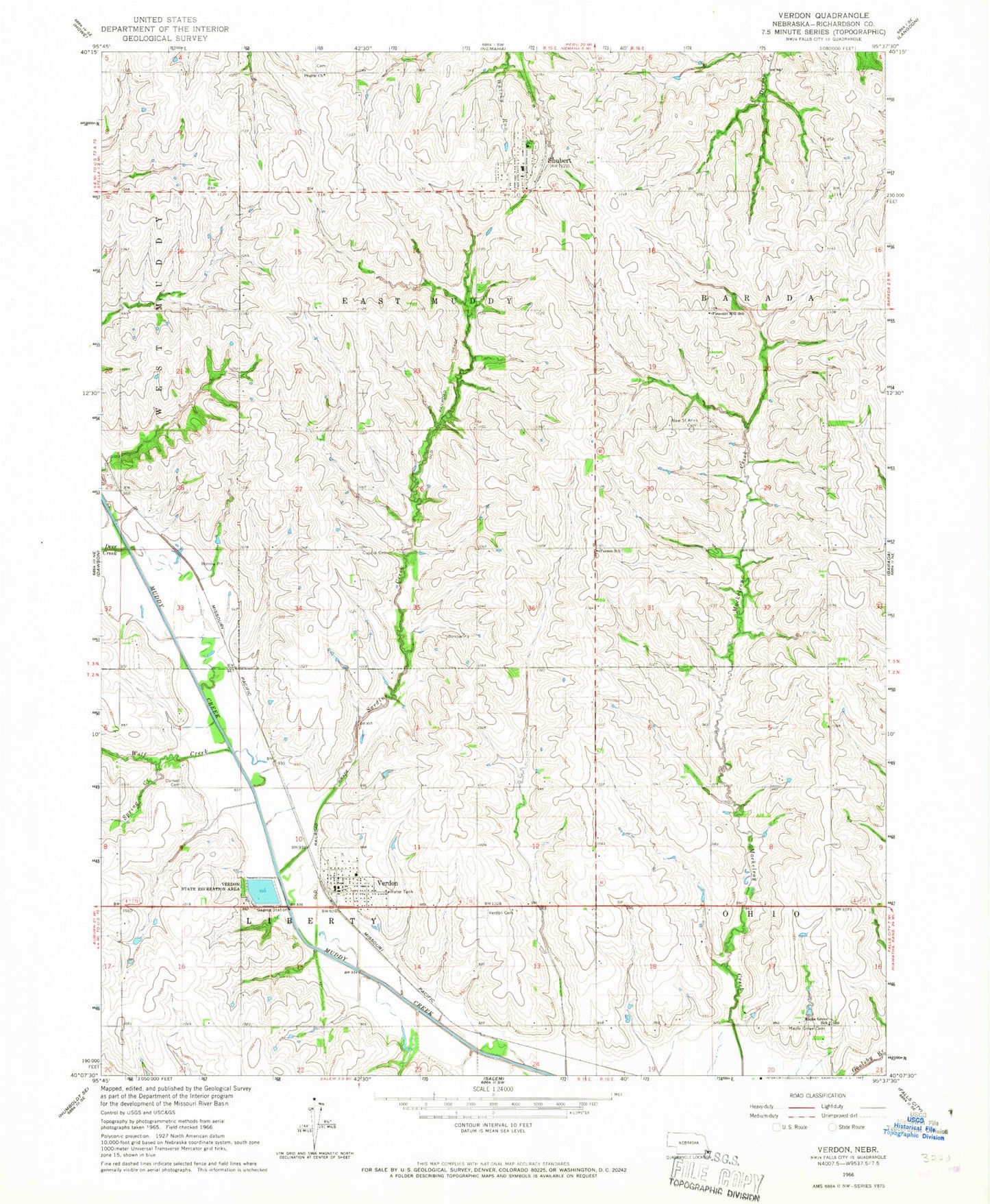
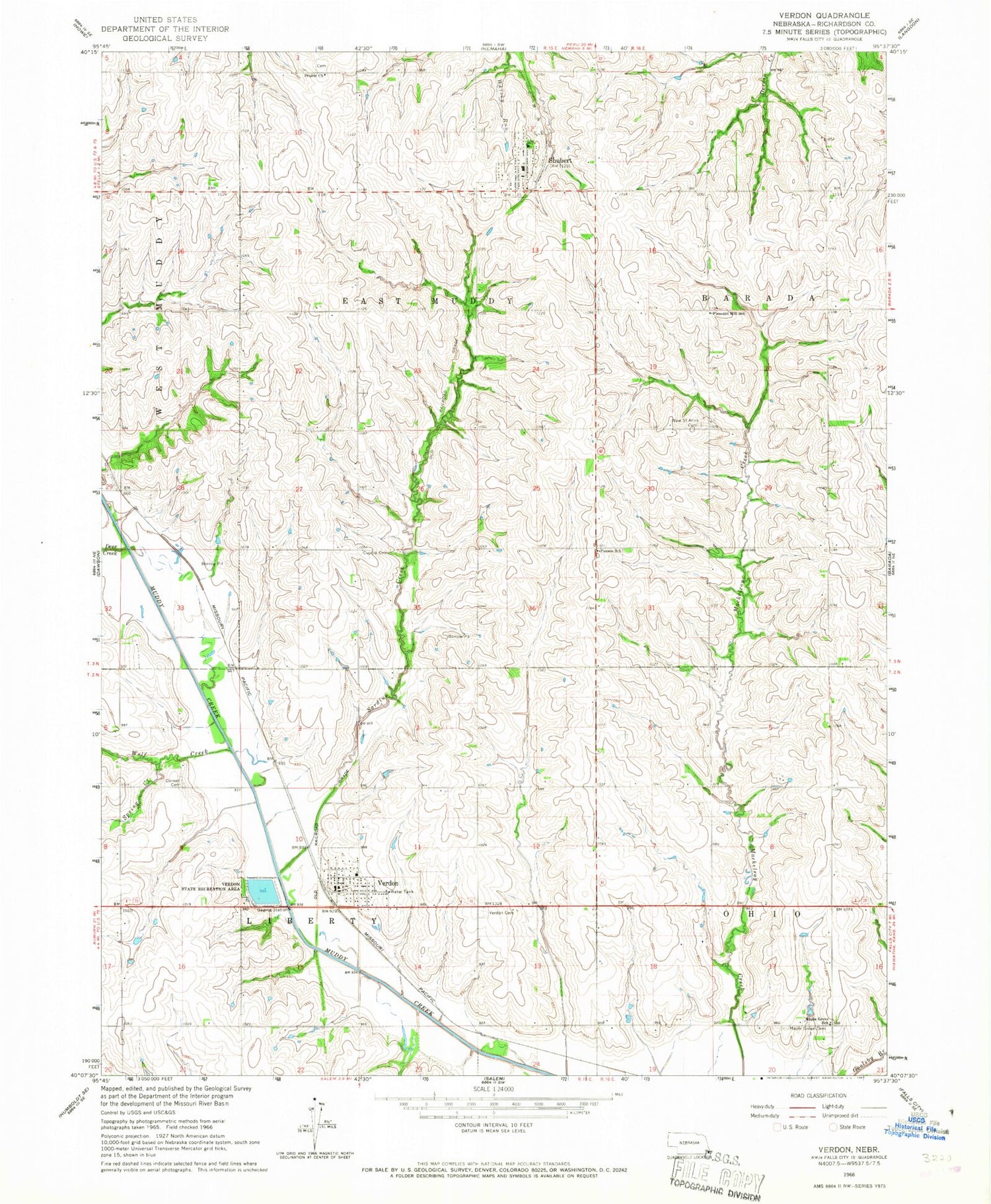
Classic USGS Verdon Nebraska 7.5'x7.5' Topo Map
Couldn't load pickup availability
Historical USGS topographic quad map of Verdon in the state of Nebraska. Map scale may vary for some years, but is generally around 1:24,000. Print size is approximately 24" x 27"
This quadrangle is in the following counties: Richardson.
The map contains contour lines, roads, rivers, towns, and lakes. Printed on high-quality waterproof paper with UV fade-resistant inks, and shipped rolled.
Contains the following named places: Cupola Cemetery, Deer Creek, East Muddy Election Precinct, Eickhoff Strip, Elkton Post Office, Elmore Post Office, Geneva Post Office, Liberty - Cornell Cemetery, Liberty Election Precinct, Maple Grove Cemetery, Maple Grove School, Parson School, Pleasant Hill School, Richardson County, Saint Ann Catholic Church, Saint Annes Catholic Cemetery, Sardine Creek, Shubert, Shubert Christian Church, Shubert Post Office, Shubert Public Library, Shubert Volunteer Fire Department, Spring Creek, Township of East Muddy, Township of Liberty, Verdon, Verdon Cemetery, Verdon Christian Church, Verdon Dam, Verdon Grain Company Elevator, Verdon Lake, Verdon Lake State Recreation Area, Verdon Post Office, Verdon Volunteer Fire Department, Village of Shubert, Village of Verdon, Village of Verdon Library, W M Grain Company Elevator, Wolf Creek, ZIP Codes: 68437, 68457


