MyTopo
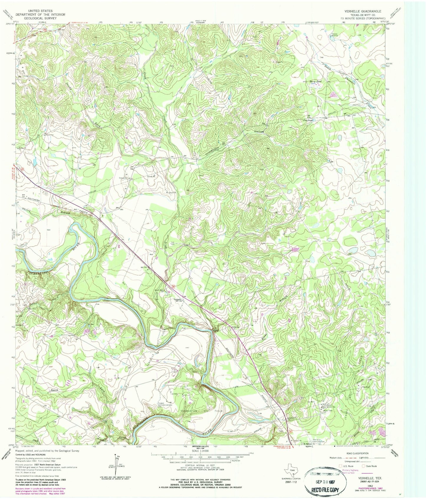
Classic USGS Verhelle Texas 7.5'x7.5' Topo Map
Couldn't load pickup availability
Historical USGS topographic quad map of Verhelle in the state of Texas. Map scale may vary for some years, but is generally around 1:24,000. Print size is approximately 24" x 27"
This quadrangle is in the following counties: DeWitt.
The map contains contour lines, roads, rivers, towns, and lakes. Printed on high-quality waterproof paper with UV fade-resistant inks, and shipped rolled.
Contains the following named places: Berry Pond, Burns Station Cemetery, Carlisle Creek, Cattail Creek, Crittendon Hollow, Cuero Division, Flag Pond, Irish Creek, Jennie Bell Oil Field, KQRO-AM (Cuero), KQRO-FM (Cuero), Mount Bethany Church, North Carlisle Creek, Oaxley Branch, Ponteon San Isidro Labrador Cemetery, Reeds Branch, Sandy Fork, Taylor Cemetery, Thomas Windmill, Thomaston Compressor Station, Thomaston Oil Field, Verhelle, Verhelle Oil Field