
MyTopo
Classic USGS Vermejo Park New Mexico 7.5'x7.5' Topo Map
Regular price
$16.95
Regular price
Sale price
$16.95
Unit price
per
Couldn't load pickup availability
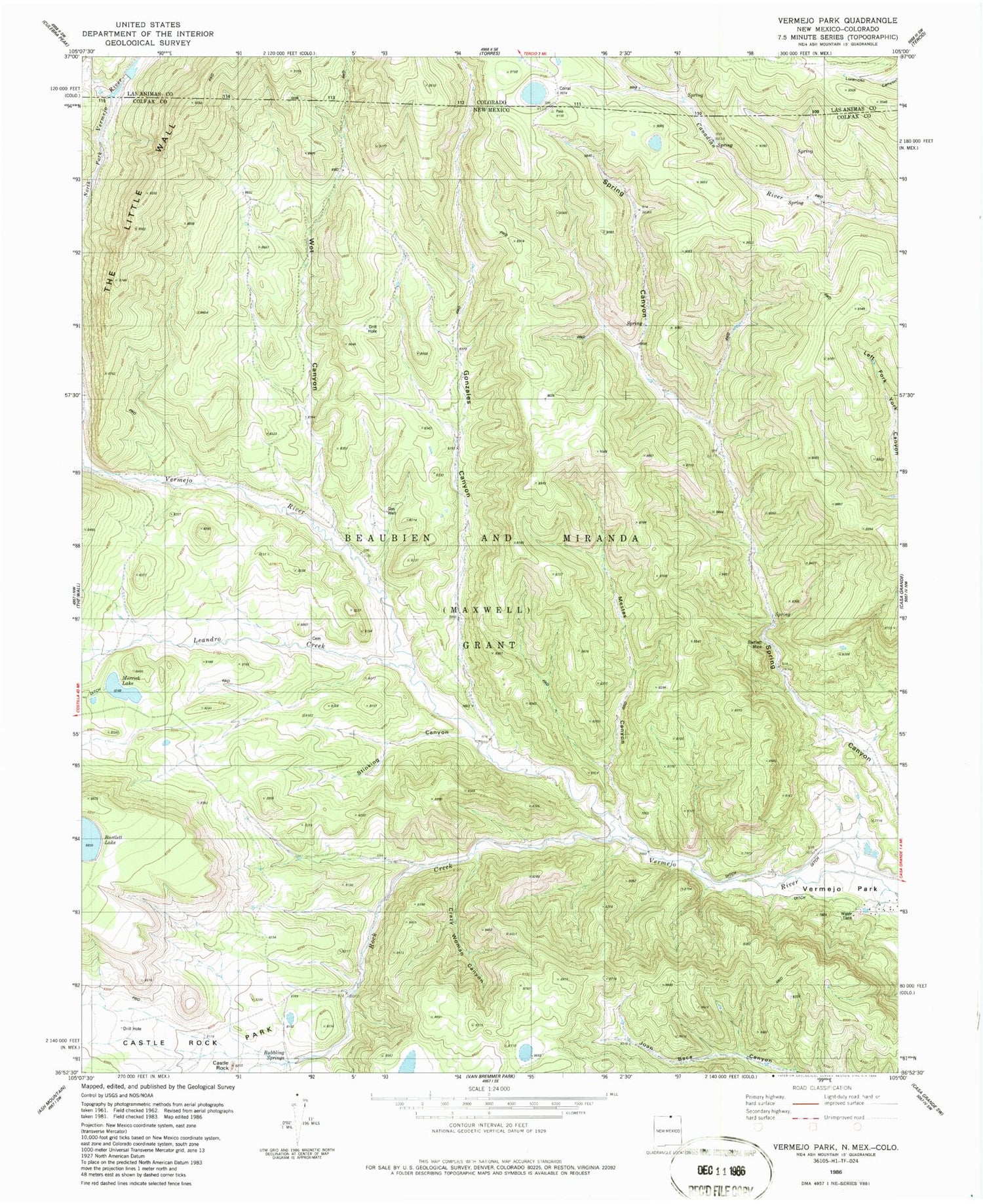
Historical USGS topographic quad map of Vermejo Park in the states of New Mexico, Colorado. Map scale may vary for some years, but is generally around 1:24,000. Print size is approximately 24" x 27"
This quadrangle is in the following counties: Colfax, Las Animas.
The map contains contour lines, roads, rivers, towns, and lakes. Printed on high-quality waterproof paper with UV fade-resistant inks, and shipped rolled.
Contains the following named places: Bartlett Mine, Bernal Creek, Bubbling Springs, Castle Rock, Castle Rock Park, Crazy Woman Canyon, Gonzales Canyon, Leandro Creek, Merrick Lake, Mestas Canyon, Rock Creek, San Francisco Pass, Stinking Canyon, Vasquez Camp, Vermejo Park, Wet Canyon


