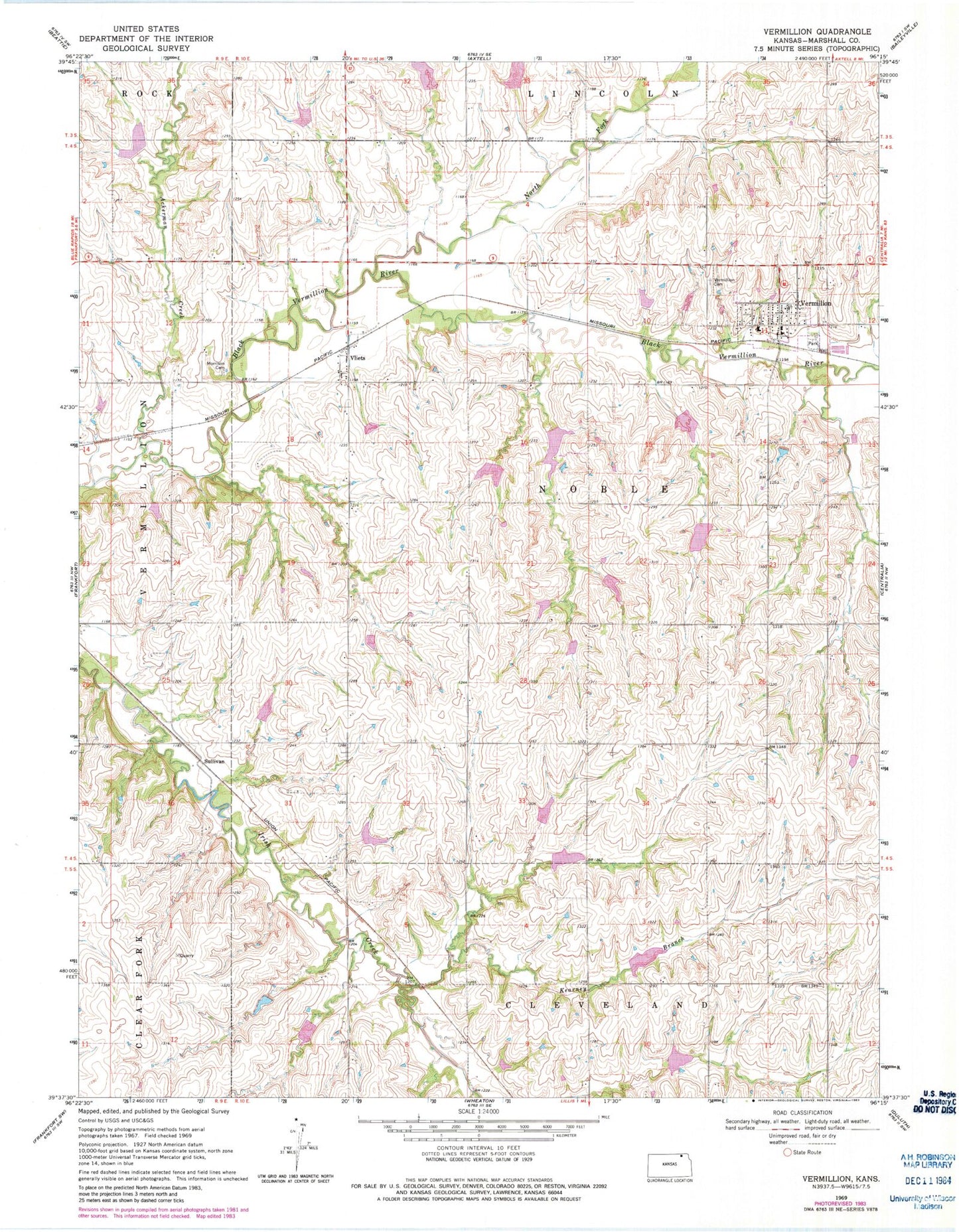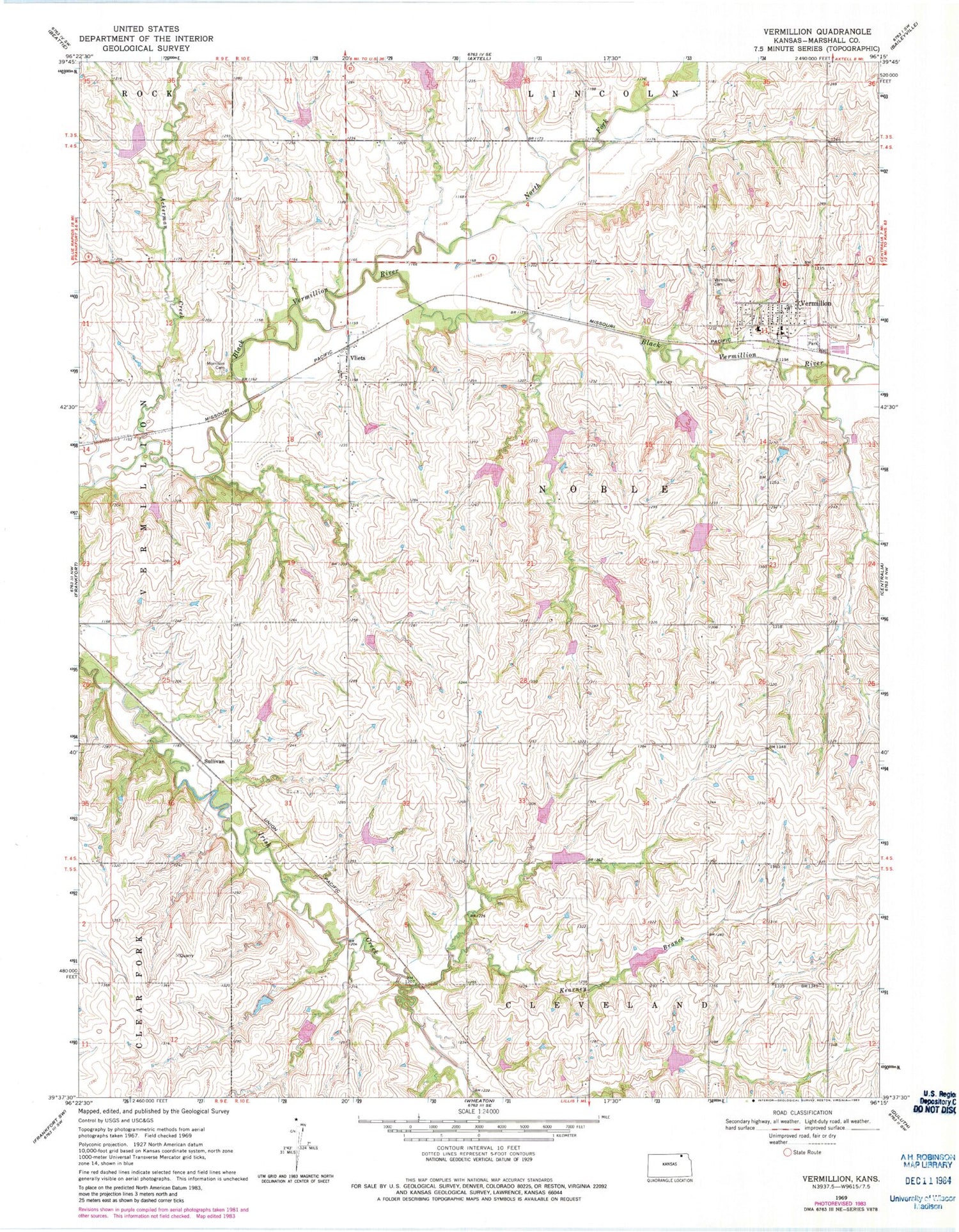
MyTopo
Classic USGS Vermillion Kansas 7.5'x7.5' Topo Map
Couldn't load pickup availability
Historical USGS topographic quad map of Vermillion in the state of Kansas. Map scale may vary for some years, but is generally around 1:24,000. Print size is approximately 24" x 27"
This quadrangle is in the following counties: Marshall.
The map contains contour lines, roads, rivers, towns, and lakes. Printed on high-quality waterproof paper with UV fade-resistant inks, and shipped rolled.
Contains the following named places: Ackerman Creek, City of Vermillion, Kearney Branch, Morrison Cemetery, North Fork Black Vermillion River, Sullivan, Township of Noble, Vermillion, Vermillion Cemetery, Vermillion Post Office, Vermillion Public Library, Vermillion Unified School District Office, Vermillion United Methodist Church, Vermillion Wastewater Treatment Facility, Vliets, ZIP Code: 66544